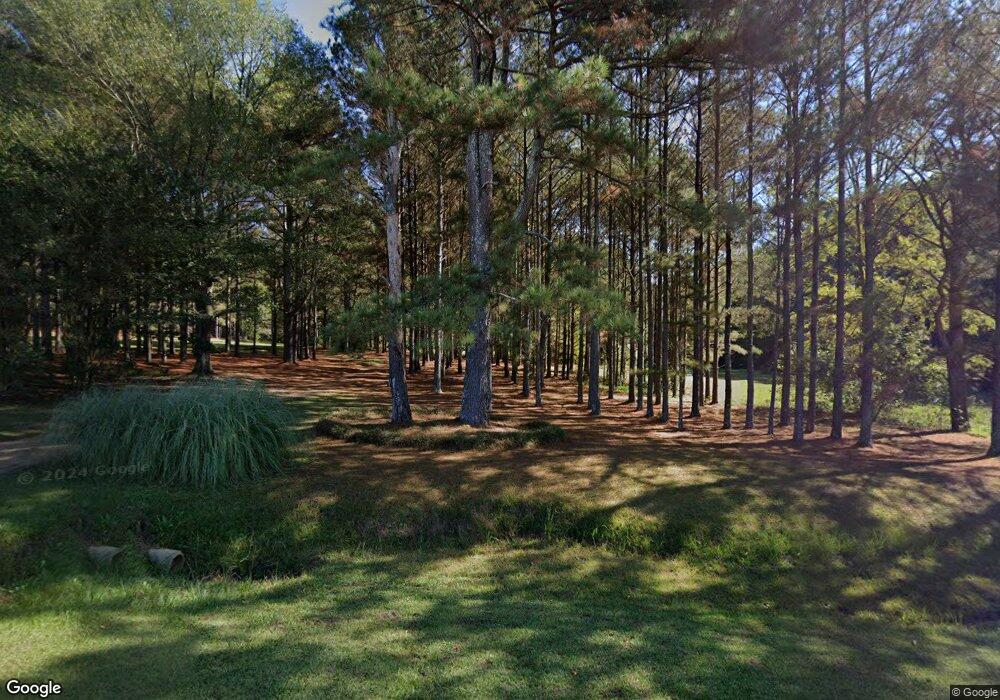
1179 Highway 487 E Walnut Grove, MS 39189
Estimated Value: $286,000 - $288,000
Studio
--
Bath
--
Sq Ft
7.2
Acres
About This Home
This home is located at 1179 Highway 487 E, Walnut Grove, MS 39189 and is currently estimated at $287,000. 1179 Highway 487 E is a home with nearby schools including Leake County Elementary School and Leake County High School.
Create a Home Valuation Report for This Property
The Home Valuation Report is an in-depth analysis detailing your home's value as well as a comparison with similar homes in the area
Tax History
| Year | Tax Paid | Tax Assessment Tax Assessment Total Assessment is a certain percentage of the fair market value that is determined by local assessors to be the total taxable value of land and additions on the property. | Land | Improvement |
|---|---|---|---|---|
| 2025 | $1,142 | $11,619 | $1,051 | $10,568 |
| 2024 | $11 | $11,621 | $1,053 | $10,568 |
| 2023 | $1,124 | $11,621 | $1,053 | $10,568 |
| 2022 | $1,108 | $11,637 | $1,069 | $10,568 |
| 2021 | $1,008 | $11,201 | $1,087 | $10,114 |
| 2020 | $1,011 | $11,220 | $1,106 | $10,114 |
| 2019 | $959 | $11,242 | $1,128 | $10,114 |
| 2018 | $917 | $11,259 | $1,145 | $10,114 |
| 2017 | $868 | $10,806 | $1,149 | $9,657 |
| 2016 | $0 | $10,766 | $1,109 | $9,657 |
| 2015 | $802 | $10,725 | $1,068 | $9,657 |
| 2014 | $802 | $10,689 | $1,032 | $9,657 |
Source: Public Records
Map
Nearby Homes
- 315 Mclemore Rd
- 0 Pine Grove Rd
- 124 Main St
- 739 Highway 487 E
- 786 Clyde B Rd
- 761 Thaggard Rd
- 0 Thrash Rd
- 4489 Old Walnut Grove Rd
- 327 Maple St
- 0 Spruce St
- 12061 Mississippi 21
- 5 Mississippi 35
- 0 Highway 35 Unit 4126739
- Hwy 488
- - Morehead Rd
- 00 Mississippi 488
- Morehead Rd
- 1100 Freeny Rd
- 0 Freeny Rd
- 0 Galilee Rd
- 1181 Highway 487 E
- 1175 Highway 487 E
- 1172 Highway 487 E
- 1153 Highway 487 E
- 1188 Highway 487 E
- 1193 Highway 487 E
- 1145 Highway 487 E
- 1194 Highway 487 E
- 1203 Highway 487 E
- 1200 Highway 487 E
- 1213 Highway 487 E
- 131 Adams Ln
- 1667 Highway 429
- 180 Adams Ln
- 1102 Highway 487 E
- 895 Ott Jones Rd
- 1231 Highway 487 E
- 1228 Highway 487 E
- 699 Arbor Rd
- 793 Ott Jones Rd
Your Personal Tour Guide
Ask me questions while you tour the home.