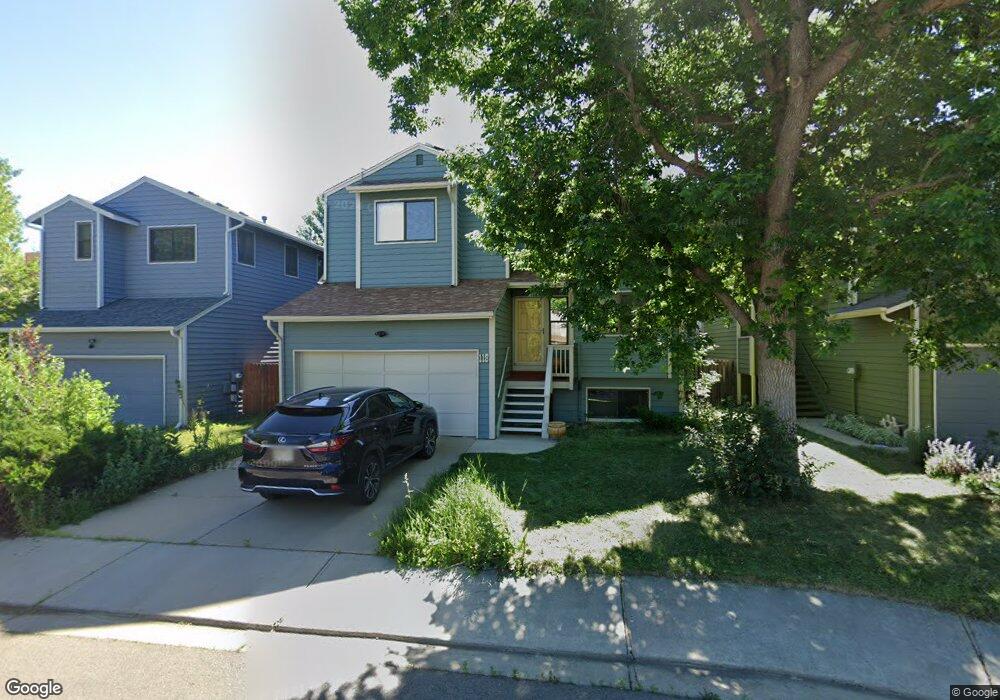
118 Huron Ct Boulder, CO 80303
Southeast Boulder NeighborhoodEstimated Value: $818,531 - $919,000
4
Beds
4
Baths
2,071
Sq Ft
$425/Sq Ft
Est. Value
About This Home
This home is located at 118 Huron Ct, Boulder, CO 80303 and is currently estimated at $880,633, approximately $425 per square foot. 118 Huron Ct is a home located in Boulder County with nearby schools including Eisenhower Elementary School, Manhattan Middle School of the Arts & Academics, and Fairview High School.
Ownership History
Date
Name
Owned For
Owner Type
Purchase Details
Closed on
Apr 30, 2001
Sold by
Sackheim Gilbert M
Bought by
Sackheim Jonathan
Current Estimated Value
Purchase Details
Closed on
Dec 31, 1999
Sold by
Plage Susan S and Plage Peter J
Bought by
Sackheim Gilbert M
Home Financials for this Owner
Home Financials are based on the most recent Mortgage that was taken out on this home.
Original Mortgage
$250,000
Outstanding Balance
$74,230
Interest Rate
7.84%
Estimated Equity
$806,403
Purchase Details
Closed on
Dec 1, 1993
Sold by
Humphrey Matthew and Humphrey Kathleen A
Bought by
Plage Peter J
Home Financials for this Owner
Home Financials are based on the most recent Mortgage that was taken out on this home.
Original Mortgage
$167,900
Interest Rate
6.71%
Purchase Details
Closed on
Jun 3, 1988
Bought by
Sackheim Jonathan
Purchase Details
Closed on
Jun 19, 1984
Bought by
Sackheim Jonathan
Create a Home Valuation Report for This Property
The Home Valuation Report is an in-depth analysis detailing your home's value as well as a comparison with similar homes in the area
Home Values in the Area
Average Home Value in this Area
Purchase History
| Date | Buyer | Sale Price | Title Company |
|---|---|---|---|
| Sackheim Jonathan | $327,500 | -- | |
| Sackheim Gilbert M | $290,000 | -- | |
| Plage Peter J | $209,900 | -- | |
| Sackheim Jonathan | $122,400 | -- | |
| Sackheim Jonathan | -- | -- |
Source: Public Records
Mortgage History
| Date | Status | Borrower | Loan Amount |
|---|---|---|---|
| Open | Sackheim Gilbert M | $250,000 | |
| Previous Owner | Plage Peter J | $167,900 | |
| Closed | Sackheim Jonathan | $0 |
Source: Public Records
Tax History
| Year | Tax Paid | Tax Assessment Tax Assessment Total Assessment is a certain percentage of the fair market value that is determined by local assessors to be the total taxable value of land and additions on the property. | Land | Improvement |
|---|---|---|---|---|
| 2025 | $5,127 | $59,750 | $27,906 | $31,844 |
| 2024 | $5,127 | $59,750 | $27,906 | $31,844 |
| 2023 | $5,035 | $57,439 | $33,962 | $27,162 |
| 2022 | $5,011 | $53,153 | $24,297 | $28,856 |
| 2021 | $4,782 | $54,683 | $24,996 | $29,687 |
| 2020 | $4,324 | $49,679 | $20,378 | $29,301 |
| 2019 | $4,258 | $49,679 | $20,378 | $29,301 |
| 2018 | $3,961 | $45,684 | $19,152 | $26,532 |
| 2017 | $3,837 | $50,507 | $21,174 | $29,333 |
| 2016 | $3,569 | $41,233 | $16,875 | $24,358 |
| 2015 | $3,380 | $33,440 | $14,169 | $19,271 |
| 2014 | $2,812 | $33,440 | $14,169 | $19,271 |
Source: Public Records
Map
Nearby Homes
- 40 S Boulder Cir Unit 4034
- 30 S Boulder Cir Unit 3018
- 20 S Boulder Cir Unit 20-2204
- 210 Manhattan Dr
- 33 S Boulder Cir Unit 316
- 130 Cherokee Way
- 167 Cherokee Way
- 4800 Osage Dr Unit B-16
- 15 Pawnee Dr
- 230 Pawnee Dr
- 600 Manhattan Dr Unit A7
- 600 Manhattan Dr Unit C7
- 5648 Baseline Rd
- 625 Manhattan Place Unit 308
- 4521 Navajo Place
- 4835 Moorhead Ave
- 655 Cree Cir
- 665 Manhattan Dr Unit 9
- 5550 Stonewall Place Unit 33
- 4763 Tantra Dr Unit B
Your Personal Tour Guide
Ask me questions while you tour the home.