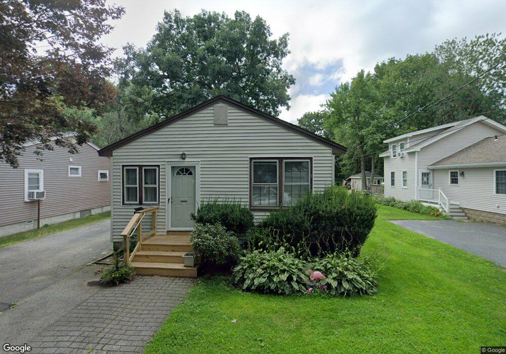
118 Sears Island Dr Worcester, MA 01606
Indian Lake East NeighborhoodEstimated Value: $408,000 - $482,000
3
Beds
1
Bath
1,452
Sq Ft
$299/Sq Ft
Est. Value
About This Home
This home is located at 118 Sears Island Dr, Worcester, MA 01606 and is currently estimated at $433,526, approximately $298 per square foot. 118 Sears Island Dr is a home located in Worcester County with nearby schools including Francis J. McGrath Elementary School, Jacob Hiatt Magnet School, and Chandler Magnet.
Ownership History
Date
Name
Owned For
Owner Type
Purchase Details
Closed on
Sep 17, 2007
Sold by
Cronin Janice M and Dillon Janice M
Bought by
Dillon James M and Dillon Janice M
Current Estimated Value
Home Financials for this Owner
Home Financials are based on the most recent Mortgage that was taken out on this home.
Original Mortgage
$352,500
Outstanding Balance
$224,662
Interest Rate
6.7%
Mortgage Type
Purchase Money Mortgage
Estimated Equity
$208,864
Create a Home Valuation Report for This Property
The Home Valuation Report is an in-depth analysis detailing your home's value as well as a comparison with similar homes in the area
Home Values in the Area
Average Home Value in this Area
Purchase History
| Date | Buyer | Sale Price | Title Company |
|---|---|---|---|
| Dillon James M | -- | -- |
Source: Public Records
Mortgage History
| Date | Status | Borrower | Loan Amount |
|---|---|---|---|
| Open | Dillon James M | $352,500 |
Source: Public Records
Tax History
| Year | Tax Paid | Tax Assessment Tax Assessment Total Assessment is a certain percentage of the fair market value that is determined by local assessors to be the total taxable value of land and additions on the property. | Land | Improvement |
|---|---|---|---|---|
| 2025 | $5,040 | $382,088 | $242,688 | $139,400 |
| 2024 | $5,082 | $369,588 | $242,688 | $126,900 |
| 2023 | $4,766 | $332,363 | $211,063 | $121,300 |
| 2022 | $4,955 | $325,763 | $222,563 | $103,200 |
| 2021 | $4,674 | $287,100 | $178,000 | $109,100 |
| 2020 | $4,677 | $275,100 | $178,100 | $97,000 |
| 2019 | $3,622 | $201,200 | $110,400 | $90,800 |
| 2018 | $3,617 | $191,300 | $110,400 | $80,900 |
| 2017 | $3,677 | $191,300 | $110,400 | $80,900 |
| 2016 | $3,502 | $169,900 | $87,000 | $82,900 |
| 2015 | $3,410 | $169,900 | $87,000 | $82,900 |
| 2014 | $3,320 | $169,900 | $87,000 | $82,900 |
Source: Public Records
Map
Nearby Homes
- 116 Sears Island Dr
- 120 Sears Island Dr
- 110 Sears Island Dr
- 111 Sears Island Dr
- 109 Sears Island Dr
- 108 Sears Island Dr
- 108 Sears Island Dr Unit 1st Floor
- 108 Sears Island Dr Unit 2nd Floor
- 124 Sears Island Dr
- 125 Sears Island Dr
- 126 Sears Island Dr
- 130 Sears Island Dr
- 91 Sears Island Dr
- 95 Sears Island Dr
- 98 Sears Island Dr
- 96-98 Sears Island Dr
- 128 Sears Island Dr
- 96 Sears Island Dr
- 15 Doran Rd
- 133 Sears Island Dr
Your Personal Tour Guide
Ask me questions while you tour the home.