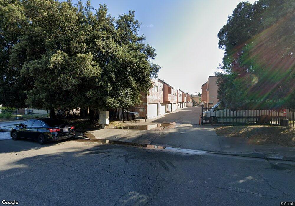
11827 Ferris Rd Unit D El Monte, CA 91732
River East NeighborhoodEstimated Value: $456,000 - $512,000
2
Beds
2
Baths
1,013
Sq Ft
$471/Sq Ft
Est. Value
About This Home
This home is located at 11827 Ferris Rd Unit D, El Monte, CA 91732 and is currently estimated at $476,873, approximately $470 per square foot. 11827 Ferris Rd Unit D is a home located in Los Angeles County with nearby schools including Baker Elementary, El Monte High School, and New Life Christian School.
Ownership History
Date
Name
Owned For
Owner Type
Purchase Details
Closed on
May 1, 2001
Sold by
Calderon Rudy J and Calderon Linda C
Bought by
Perez Lucila
Current Estimated Value
Home Financials for this Owner
Home Financials are based on the most recent Mortgage that was taken out on this home.
Original Mortgage
$91,180
Interest Rate
7.21%
Mortgage Type
FHA
Create a Home Valuation Report for This Property
The Home Valuation Report is an in-depth analysis detailing your home's value as well as a comparison with similar homes in the area
Home Values in the Area
Average Home Value in this Area
Purchase History
| Date | Buyer | Sale Price | Title Company |
|---|---|---|---|
| Perez Lucila | $94,000 | Southland Title |
Source: Public Records
Mortgage History
| Date | Status | Borrower | Loan Amount |
|---|---|---|---|
| Previous Owner | Perez Lucila | $91,180 |
Source: Public Records
Tax History
| Year | Tax Paid | Tax Assessment Tax Assessment Total Assessment is a certain percentage of the fair market value that is determined by local assessors to be the total taxable value of land and additions on the property. | Land | Improvement |
|---|---|---|---|---|
| 2025 | $2,172 | $138,838 | $32,782 | $106,056 |
| 2024 | $2,172 | $136,117 | $32,140 | $103,977 |
| 2023 | $2,136 | $133,449 | $31,510 | $101,939 |
| 2022 | $2,058 | $130,834 | $30,893 | $99,941 |
| 2021 | $2,097 | $128,270 | $30,288 | $97,982 |
| 2019 | $2,036 | $124,468 | $29,391 | $95,077 |
| 2018 | $1,949 | $122,028 | $28,815 | $93,213 |
| 2016 | $1,800 | $117,292 | $27,697 | $89,595 |
| 2015 | $1,780 | $115,531 | $27,281 | $88,250 |
| 2014 | $1,750 | $113,269 | $26,747 | $86,522 |
Source: Public Records
Map
Nearby Homes
- 3548 Whistler Ave
- 11919 Deana St Unit B
- 11670 Ferris Rd
- 11722 Bryant Rd
- 12122 Ferris Rd Unit 1
- 11834 Kerrwood St
- 3912 Maple Ave
- 11825 Basye St
- 12141 Ramona Blvd
- 3957 Durfee Ave
- 4042 Maxson Rd Unit C
- 3554 Durfee Ave
- 4229 Cogswell Rd
- 11326 Forest Grove St
- 3717 1/2 Pine Ave
- 3462 Durfee Ave
- Plan 1834 Modeled at Belcourt Place
- Plan 1998 Modeled at Belcourt Place
- 12343 Deana St
- 3903 Gilman Rd
- 11827 Ferris Rd
- 11827 Ferris Rd Unit A
- 11827 Ferris Rd Unit J
- 11827 Ferris Rd Unit I
- 11827 Ferris Rd Unit H
- 11827 Ferris Rd Unit F
- 11827 Ferris Rd Unit E
- 11827 Ferris Rd Unit C
- 11827 Ferris Rd Unit B
- 11827 Ferris Road #C Unit C
- 11827 Ferris #C Rd
- 11829 Ferris Rd Unit A
- 11829 Ferris Rd Unit B
- 11829 Ferris Rd Unit C
- 11829 Ferris Rd Unit D
- 11829 Ferris Rd Unit E
- 11829 Ferris Rd Unit F
- 11829 Ferris Rd Unit G
- 11837 Ferris Rd Unit K
- 11837 Ferris Rd Unit P
Your Personal Tour Guide
Ask me questions while you tour the home.