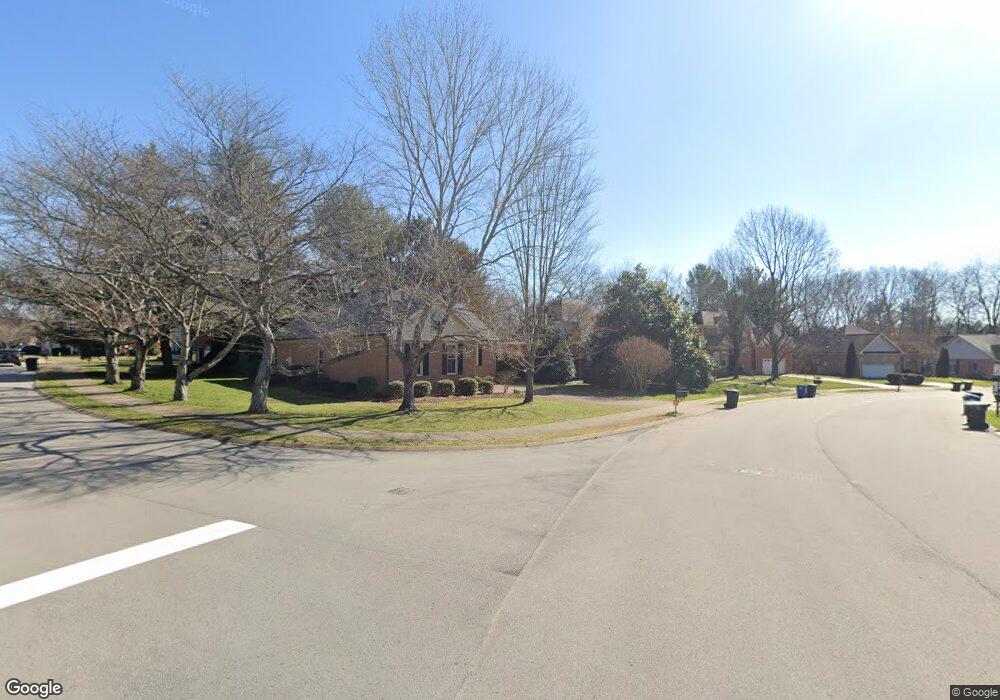
1185 Glenbrook Dr Franklin, TN 37064
Central Franklin NeighborhoodEstimated Value: $659,000 - $869,000
--
Bed
2
Baths
2,285
Sq Ft
$319/Sq Ft
Est. Value
About This Home
This home is located at 1185 Glenbrook Dr, Franklin, TN 37064 and is currently estimated at $728,805, approximately $318 per square foot. 1185 Glenbrook Dr is a home located in Williamson County with nearby schools including Liberty Elementary School, Freedom Intermediate School, and Freedom Middle School.
Ownership History
Date
Name
Owned For
Owner Type
Purchase Details
Closed on
Jun 28, 2021
Sold by
Campbell Brent A and Campbell Gale E
Bought by
Myatt Benjamin and Tutt Myatt Hillary
Current Estimated Value
Home Financials for this Owner
Home Financials are based on the most recent Mortgage that was taken out on this home.
Original Mortgage
$352,000
Outstanding Balance
$269,024
Interest Rate
2.9%
Mortgage Type
New Conventional
Estimated Equity
$459,781
Purchase Details
Closed on
Sep 30, 2014
Sold by
Hopkins William D and Hopkins Olivia M
Bought by
Campbell Brent A and Campbell Gale E
Create a Home Valuation Report for This Property
The Home Valuation Report is an in-depth analysis detailing your home's value as well as a comparison with similar homes in the area
Home Values in the Area
Average Home Value in this Area
Purchase History
| Date | Buyer | Sale Price | Title Company |
|---|---|---|---|
| Myatt Benjamin | $440,000 | Bell Law Stlmt Servics Llc | |
| Campbell Brent A | $348,300 | Southeast Title Of Murfreesb |
Source: Public Records
Mortgage History
| Date | Status | Borrower | Loan Amount |
|---|---|---|---|
| Open | Myatt Benjamin | $352,000 |
Source: Public Records
Tax History Compared to Growth
Tax History
| Year | Tax Paid | Tax Assessment Tax Assessment Total Assessment is a certain percentage of the fair market value that is determined by local assessors to be the total taxable value of land and additions on the property. | Land | Improvement |
|---|---|---|---|---|
| 2024 | $2,876 | $101,625 | $30,000 | $71,625 |
| 2023 | $0 | $101,625 | $30,000 | $71,625 |
| 2022 | $2,765 | $101,625 | $30,000 | $71,625 |
| 2021 | $2,765 | $101,625 | $30,000 | $71,625 |
| 2020 | $2,754 | $85,350 | $21,250 | $64,100 |
| 2019 | $2,754 | $85,350 | $21,250 | $64,100 |
| 2018 | $2,694 | $85,350 | $21,250 | $64,100 |
| 2017 | $2,652 | $85,350 | $21,250 | $64,100 |
| 2016 | $0 | $85,350 | $21,250 | $64,100 |
| 2015 | -- | $67,950 | $18,750 | $49,200 |
| 2014 | -- | $67,950 | $18,750 | $49,200 |
Source: Public Records
Map
Nearby Homes
- 433 Dragonfly Ct
- 520 Castlebury Ct
- 108 Ridgemont Place
- 1183 Buckingham Cir
- 121 Pebble View Dr
- 1 Pinewood Rd
- 1143 Buckingham Cir
- 100 Ralston Ln
- 100 Basil Ct
- 224 Hickory Dr
- 217 Maple Dr
- 118 Brevet Dr
- 1011 Murfreesboro Rd Unit E5
- 1011 Murfreesboro Rd Unit E3
- 1011 Murfreesboro Rd Unit B2
- 1011 Murfreesboro Rd Unit D3
- 412 Benton Ln
- 521 Maplegrove Dr
- 20 Daniels Dr
- 229 Cambridge Place
- 1187 Glenbrook Dr
- 635 Bonnie Place
- 1191 Glenbrook Dr
- 188 Scotsman Ln
- 1183 Glenbrook Dr
- 1186 Glenbrook Dr
- 1190 Glenbrook Dr
- 631 Bonnie Place
- 1182 Glenbrook Dr
- 636 Bonnie Place
- 186 Scotsman Ln
- 1201 Glenbrook Dr
- 1174 Glenbrook Dr
- 1179 Glenbrook Dr
- 623 Bonnie Place
- 404 Queen Marys Ct
- 189 Scotsman Ln
- 405 Queen Marys Ct
- 208 Scotsman Ln
- 184 Scotsman Ln