119 Bunting Dr Wilmington, DE 19808
Estimated Value: $517,000 - $608,000
4
Beds
3
Baths
2,575
Sq Ft
$221/Sq Ft
Est. Value
About This Home
This home is located at 119 Bunting Dr, Wilmington, DE 19808 and is currently estimated at $570,324, approximately $221 per square foot. 119 Bunting Dr is a home located in New Castle County with nearby schools including Dupont (H.B.) Middle School, Thomas McKean High School, and The Independence School.
Ownership History
Date
Name
Owned For
Owner Type
Purchase Details
Closed on
Jul 9, 2007
Sold by
Shackelford Ellen Gale
Bought by
Carro Adam
Current Estimated Value
Home Financials for this Owner
Home Financials are based on the most recent Mortgage that was taken out on this home.
Original Mortgage
$328,500
Outstanding Balance
$205,109
Interest Rate
6.48%
Mortgage Type
New Conventional
Estimated Equity
$365,215
Purchase Details
Closed on
Mar 22, 2004
Sold by
Drane Donald H
Bought by
Shackelford Ellen Gale
Create a Home Valuation Report for This Property
The Home Valuation Report is an in-depth analysis detailing your home's value as well as a comparison with similar homes in the area
Home Values in the Area
Average Home Value in this Area
Purchase History
| Date | Buyer | Sale Price | Title Company |
|---|---|---|---|
| Carro Adam | $365,000 | None Available | |
| Shackelford Ellen Gale | -- | -- |
Source: Public Records
Mortgage History
| Date | Status | Borrower | Loan Amount |
|---|---|---|---|
| Open | Carro Adam | $328,500 |
Source: Public Records
Tax History Compared to Growth
Tax History
| Year | Tax Paid | Tax Assessment Tax Assessment Total Assessment is a certain percentage of the fair market value that is determined by local assessors to be the total taxable value of land and additions on the property. | Land | Improvement |
|---|---|---|---|---|
| 2024 | $4,548 | $118,700 | $25,300 | $93,400 |
| 2023 | $4,033 | $118,700 | $25,300 | $93,400 |
| 2022 | $4,055 | $118,700 | $25,300 | $93,400 |
| 2021 | $4,051 | $118,700 | $25,300 | $93,400 |
| 2020 | $4,052 | $118,700 | $25,300 | $93,400 |
| 2019 | $7,542 | $118,700 | $25,300 | $93,400 |
| 2018 | $3,981 | $118,700 | $25,300 | $93,400 |
| 2017 | $3,934 | $118,700 | $25,300 | $93,400 |
| 2016 | $3,742 | $118,700 | $25,300 | $93,400 |
| 2015 | $3,517 | $118,700 | $25,300 | $93,400 |
| 2014 | $3,267 | $118,700 | $25,300 | $93,400 |
Source: Public Records
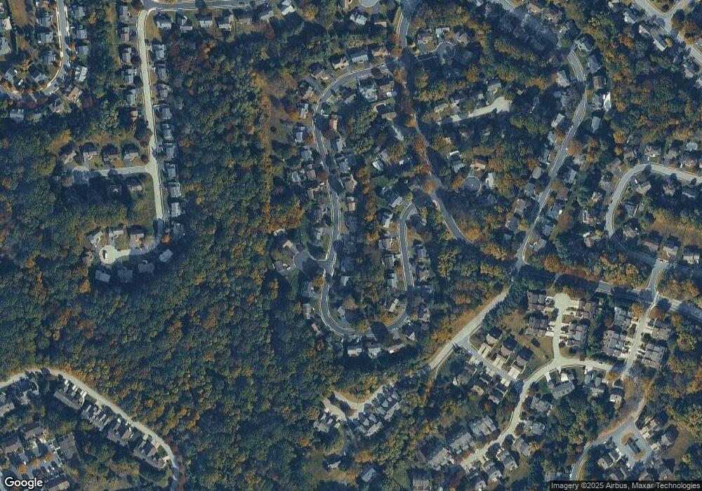
Map
Nearby Homes
- 1300 Braken Ave
- 184 Gregg Dr
- 8 Barclay Dr
- 204 Barclay Dr
- 0 Stoney Batter Rd
- 850 Stockbridge Dr
- 121 Croom Mills Dr
- 226 Cayman Ct
- 334 Shannonbridge Dr
- 5034 W Brigantine Ct Unit 5034
- 4717 Weatherhill Dr
- 4908 W Brigantine Ct Unit 4908
- 124 Shinn Cir
- 142 Shinn Cir
- 24 Haileys Trail
- 496 Greenwood Dr
- 3600 Rustic Ln Unit 245
- 3600 Rustic Ln Unit 211
- 1825 Graves Rd
- 4702 Linden Knoll Dr Unit 332