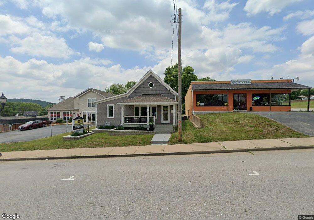
119 N Central Ave Unit 1 Eureka, MO 63025
Estimated Value: $119,402
1
Bed
--
Bath
1,170
Sq Ft
$102/Sq Ft
Est. Value
About This Home
This home is located at 119 N Central Ave Unit 1, Eureka, MO 63025 and is currently estimated at $119,402, approximately $102 per square foot. 119 N Central Ave Unit 1 is a home located in St. Louis County with nearby schools including Eureka Elementary School, Lasalle Springs Middle School, and Eureka Senior High School.
Ownership History
Date
Name
Owned For
Owner Type
Purchase Details
Closed on
Nov 17, 2021
Sold by
St John Family Llc
Bought by
Gateway Property Partners Llc
Current Estimated Value
Home Financials for this Owner
Home Financials are based on the most recent Mortgage that was taken out on this home.
Original Mortgage
$100,000
Outstanding Balance
$90,748
Interest Rate
3.05%
Mortgage Type
New Conventional
Estimated Equity
$28,654
Purchase Details
Closed on
Feb 16, 2017
Sold by
Phillips Charles R and Phillips Anita A
Bought by
St John Family Llc
Home Financials for this Owner
Home Financials are based on the most recent Mortgage that was taken out on this home.
Original Mortgage
$98,000
Interest Rate
4.2%
Mortgage Type
Seller Take Back
Purchase Details
Closed on
Jan 10, 1997
Sold by
Shapleigh Louise D
Bought by
Phillips Charles R and Phillips Anita
Create a Home Valuation Report for This Property
The Home Valuation Report is an in-depth analysis detailing your home's value as well as a comparison with similar homes in the area
Home Values in the Area
Average Home Value in this Area
Purchase History
| Date | Buyer | Sale Price | Title Company |
|---|---|---|---|
| Gateway Property Partners Llc | $133,000 | Chesterfield Title Agency | |
| St John Family Llc | $108,000 | Investors Title Co Clayton | |
| Phillips Charles R | -- | -- |
Source: Public Records
Mortgage History
| Date | Status | Borrower | Loan Amount |
|---|---|---|---|
| Open | Gateway Property Partners Llc | $100,000 | |
| Previous Owner | St John Family Llc | $98,000 |
Source: Public Records
Tax History
| Year | Tax Paid | Tax Assessment Tax Assessment Total Assessment is a certain percentage of the fair market value that is determined by local assessors to be the total taxable value of land and additions on the property. | Land | Improvement |
|---|---|---|---|---|
| 2025 | $4,002 | $43,740 | $13,630 | $30,110 |
| 2024 | $4,002 | $43,070 | $13,630 | $29,440 |
| 2023 | $4,002 | $43,070 | $13,630 | $29,440 |
| 2022 | $3,054 | $31,070 | $13,630 | $17,440 |
| 2021 | $3,056 | $31,070 | $13,630 | $17,440 |
| 2020 | $2,850 | $28,160 | $13,630 | $14,530 |
| 2019 | $2,863 | $28,160 | $13,630 | $14,530 |
| 2018 | $3,238 | $30,490 | $13,630 | $16,860 |
| 2017 | $3,136 | $30,490 | $13,630 | $16,860 |
| 2016 | $3,596 | $33,850 | $13,630 | $20,220 |
| 2015 | $3,568 | $33,850 | $13,630 | $20,220 |
| 2014 | $3,666 | $34,110 | $17,180 | $16,930 |
Source: Public Records
Map
Nearby Homes
- 637 N Virginia Ave
- 16805 Enderbush Ln
- 1 Fairway Estates Ct
- 318 Kevin Jon Ct
- 329 Kevin Jon Ct
- 126 Shaw Dr
- 15 Rockwood Place Ct
- 369 Cerny Ave
- 362 Cerny Ave
- 826 Lower Field Ln
- 75 Old Farmhouse Way
- 944 Emerald Oaks Ct
- 830 Lower Field Ln
- 83 Old Farmhouse Way
- 917 Emerald Oaks Ct
- 808 Lower Field Ln
- 402 Wallach Dr
- 345 Palisades Ridge Ct
- 814 Eureka Rd
- 568 Hilltop Townes Dr
- 119 N Central Ave
- 111 N Central Ave
- 789456 E Second Ct
- 0TBB 2 Sty@ashton Woods
- 120 N Central Ave
- 116 N Central Ave
- 8 E 2nd St
- 212 N Virginia Ave
- 12 E 2nd St
- 0TBB Ashton Woods 1 2 Story Homes
- 0TBB Aspen Lot 1&2 Lower Byrnesmill
- 212 N Central Ave
- 15 E 1st St
- 220 N Virginia Ave
- 216 N Central Ave
- 16 E 2nd St
- 215 N Virginia Ave
- 222 N Virginia Ave
- 201 Beverly St
- 224 N Central Ave
Your Personal Tour Guide
Ask me questions while you tour the home.