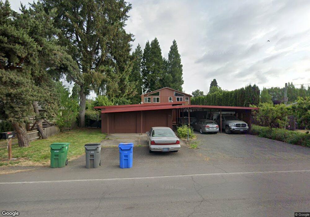
119 Owosso Dr Eugene, OR 97404
River Road NeighborhoodEstimated Value: $541,000 - $591,000
3
Beds
3
Baths
2,526
Sq Ft
$225/Sq Ft
Est. Value
About This Home
This home is located at 119 Owosso Dr, Eugene, OR 97404 and is currently estimated at $568,439, approximately $225 per square foot. 119 Owosso Dr is a home located in Lane County with nearby schools including Howard Elementary School, Kelly Middle School, and North Eugene High School.
Ownership History
Date
Name
Owned For
Owner Type
Purchase Details
Closed on
Jul 18, 2014
Sold by
Stroh Scott A and Stroh Barbara K
Bought by
Stroh Joint Trust
Current Estimated Value
Purchase Details
Closed on
Aug 3, 1999
Sold by
Ellis Larry G and Ellis Catherine J
Bought by
Stroh Scott A and Stroh Barbara K
Home Financials for this Owner
Home Financials are based on the most recent Mortgage that was taken out on this home.
Original Mortgage
$143,900
Outstanding Balance
$39,990
Interest Rate
7.7%
Estimated Equity
$528,449
Create a Home Valuation Report for This Property
The Home Valuation Report is an in-depth analysis detailing your home's value as well as a comparison with similar homes in the area
Home Values in the Area
Average Home Value in this Area
Purchase History
| Date | Buyer | Sale Price | Title Company |
|---|---|---|---|
| Stroh Joint Trust | -- | None Available | |
| Stroh Scott A | $179,900 | Fidelity National Title Ins |
Source: Public Records
Mortgage History
| Date | Status | Borrower | Loan Amount |
|---|---|---|---|
| Open | Stroh Scott A | $143,900 | |
| Closed | Stroh Scott A | $17,900 |
Source: Public Records
Tax History
| Year | Tax Paid | Tax Assessment Tax Assessment Total Assessment is a certain percentage of the fair market value that is determined by local assessors to be the total taxable value of land and additions on the property. | Land | Improvement |
|---|---|---|---|---|
| 2025 | $5,151 | $306,609 | -- | -- |
| 2024 | $5,095 | $297,679 | -- | -- |
| 2023 | $5,095 | $289,009 | $0 | $0 |
| 2022 | $4,792 | $280,592 | $0 | $0 |
| 2021 | $4,457 | $272,420 | $0 | $0 |
| 2020 | $4,488 | $264,486 | $0 | $0 |
| 2019 | $4,330 | $256,783 | $0 | $0 |
| 2018 | $4,039 | $242,043 | $0 | $0 |
| 2017 | $3,822 | $242,043 | $0 | $0 |
| 2016 | $3,539 | $234,993 | $0 | $0 |
| 2015 | $3,441 | $228,149 | $0 | $0 |
| 2014 | $3,400 | $221,504 | $0 | $0 |
Source: Public Records
Map
Nearby Homes
- 1708 River Rd
- 315 Heritage Ave
- 154 Norman Ave
- 172 Norman Ave
- 1665 Evergreen Dr
- 1880 Manihi Dr
- 1487 Barton St
- 1483 Barton St
- 389 Maxwell Rd
- 2874 Riverwalk Loop
- 2709 Riverwalk Loop
- 501 Division Ave Unit 11
- 501 Division Ave Unit 20
- 2630 Justine Ln
- 260 Greenleaf Ave
- 401 Sterling Dr
- 0 450-2 Unit 657824339
- 193 Santa Clara Ave
- 450 Hunsaker Ln
- 2628 Edgewater Dr
Your Personal Tour Guide
Ask me questions while you tour the home.