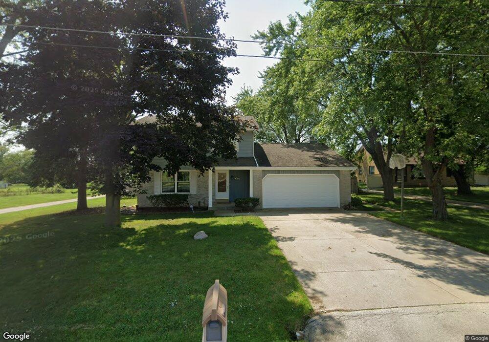
11941 W Bobolink Ave Milwaukee, WI 53225
Park Knoll NeighborhoodEstimated Value: $458,000 - $522,000
3
Beds
3
Baths
2,380
Sq Ft
$205/Sq Ft
Est. Value
About This Home
This home is located at 11941 W Bobolink Ave, Milwaukee, WI 53225 and is currently estimated at $487,081, approximately $204 per square foot. 11941 W Bobolink Ave is a home located in Milwaukee County with nearby schools including Southeast Learning Center, Walnut Grove Elementary School, and Willow Lake Elementary School.
Ownership History
Date
Name
Owned For
Owner Type
Purchase Details
Closed on
Feb 14, 2007
Sold by
Robinson Anthony
Bought by
Coats Harlan and Coats Donna
Current Estimated Value
Home Financials for this Owner
Home Financials are based on the most recent Mortgage that was taken out on this home.
Original Mortgage
$332,500
Outstanding Balance
$233,265
Interest Rate
9.5%
Estimated Equity
$253,816
Create a Home Valuation Report for This Property
The Home Valuation Report is an in-depth analysis detailing your home's value as well as a comparison with similar homes in the area
Home Values in the Area
Average Home Value in this Area
Purchase History
| Date | Buyer | Sale Price | Title Company |
|---|---|---|---|
| Coats Harlan | $350,000 | Nova Title & Closing |
Source: Public Records
Mortgage History
| Date | Status | Borrower | Loan Amount |
|---|---|---|---|
| Open | Coats Harlan | $332,500 |
Source: Public Records
Tax History Compared to Growth
Tax History
| Year | Tax Paid | Tax Assessment Tax Assessment Total Assessment is a certain percentage of the fair market value that is determined by local assessors to be the total taxable value of land and additions on the property. | Land | Improvement |
|---|---|---|---|---|
| 2024 | $9,553 | $420,500 | $46,300 | $374,200 |
| 2023 | $9,282 | $392,800 | $46,300 | $346,500 |
| 2022 | $9,280 | $392,800 | $46,300 | $346,500 |
| 2021 | $9,349 | $358,500 | $46,400 | $312,100 |
| 2020 | $9,306 | $358,500 | $46,400 | $312,100 |
| 2019 | $7,653 | $298,600 | $45,800 | $252,800 |
| 2018 | $7,659 | $298,600 | $45,800 | $252,800 |
| 2017 | $7,918 | $292,700 | $45,600 | $247,100 |
| 2016 | $8,065 | $283,600 | $45,600 | $238,000 |
| 2015 | $8,562 | $283,600 | $45,600 | $238,000 |
| 2014 | $7,647 | $257,800 | $45,600 | $212,200 |
| 2013 | -- | $283,300 | $45,600 | $237,700 |
Source: Public Records
Map
Nearby Homes
- 11811 W Flagg Ave
- 5861 N 121st St
- 6183 N 118th St
- 11910 W Mill Rd Unit 6
- 11958 W Mill Rd Unit 24
- 11937 W Appleton Ave Unit 14
- 11937 W Appleton Ave Unit 20
- 11957 W Appleton Ave Unit 4
- 5253 N Lovers Lane Rd Unit 324
- 5253 N Lovers Lane Rd Unit 204
- 5253 N Lovers Lane Rd Unit 232
- 11927 W Appleton Ave Unit 6
- 11917 W Appleton Ave Unit 6
- 10800 W Mill Rd
- N63W13412 Hummingbird Way
- 6316 N 107th St
- N66W12812 Corryton Ct
- 6218 N 105th St
- 10500 W Rae Ave
- 6234 N 105th St
- 5845 N 119th St
- 5840 N 121st St
- 5850 N 121st St
- 12015 W Bobolink Ave
- 5830 N 121st St
- 12005 W Bobolink Ave
- 11931 W Bobolink Ave
- 12031 W Bobolink Ave
- 5831 N 119th St
- 5821 N 119th St
- 5859 N 119th St
- 11921 W Bobolink Ave
- 5843 N 121st St
- 12109 W Bobolink Ave
- 11901 W Bobolink Ave
- 11847 W Flagg Ave Unit 11849
- 11860 W Flagg Ave Unit 11862
- 11859 W Flagg Ave Unit 11861
- 12104 W Bobolink Ave
- 11835 W Bobolink Ave