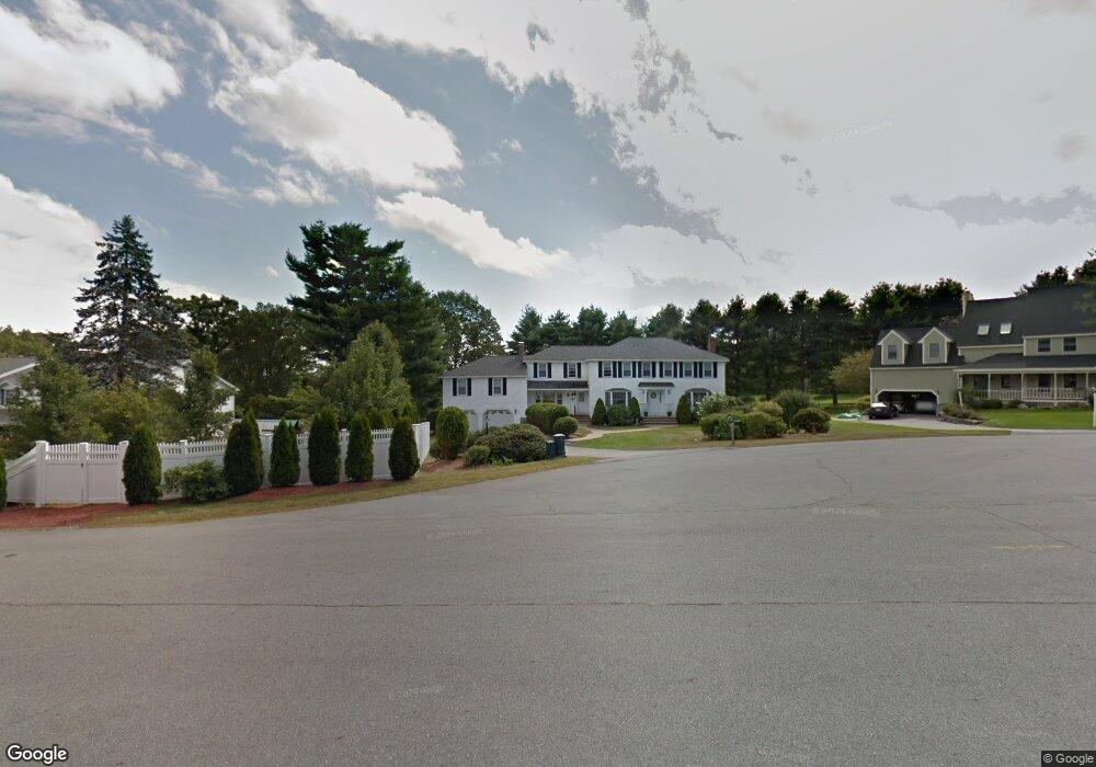
12 Apache Ave Andover, MA 01810
West Andover NeighborhoodEstimated Value: $1,499,000 - $1,727,000
4
Beds
4
Baths
4,566
Sq Ft
$352/Sq Ft
Est. Value
About This Home
This home is located at 12 Apache Ave, Andover, MA 01810 and is currently estimated at $1,605,390, approximately $351 per square foot. 12 Apache Ave is a home located in Essex County with nearby schools including West Elementary School, Andover West Middle School, and Andover High School.
Create a Home Valuation Report for This Property
The Home Valuation Report is an in-depth analysis detailing your home's value as well as a comparison with similar homes in the area
Home Values in the Area
Average Home Value in this Area
Tax History
| Year | Tax Paid | Tax Assessment Tax Assessment Total Assessment is a certain percentage of the fair market value that is determined by local assessors to be the total taxable value of land and additions on the property. | Land | Improvement |
|---|---|---|---|---|
| 2024 | $17,814 | $1,383,100 | $637,100 | $746,000 |
| 2023 | $16,958 | $1,241,400 | $573,800 | $667,600 |
| 2022 | $15,990 | $1,095,200 | $499,000 | $596,200 |
| 2021 | $15,339 | $1,003,200 | $453,500 | $549,700 |
| 2020 | $14,759 | $983,300 | $442,400 | $540,900 |
| 2019 | $14,674 | $961,000 | $429,500 | $531,500 |
| 2018 | $14,142 | $904,200 | $413,000 | $491,200 |
| 2017 | $13,579 | $894,500 | $404,700 | $489,800 |
| 2016 | $13,301 | $897,500 | $404,700 | $492,800 |
| 2015 | $12,808 | $855,600 | $389,000 | $466,600 |
Source: Public Records
Map
Nearby Homes
- 1 Delisio Dr
- 11 Rennie Dr
- 105 Central St
- 18 Dale St Unit 9D
- 241 Lowell St Unit 3
- 3 Torr St
- 2 Garfield Ln W
- 31 Porter Rd
- 11 Cuba St
- 6 Exeter Way
- 3 West Hollow
- 72 Tewksbury St
- 4 Hammond Way
- 6 Hearthstone Place
- 16 Porter Rd
- 37 Crenshaw Ln Unit 37
- 54 Birch Rd
- 100.5 Main St Unit Q
- 96 N Main St Unit 3
- 31 Crenshaw Ln Unit 31
Your Personal Tour Guide
Ask me questions while you tour the home.