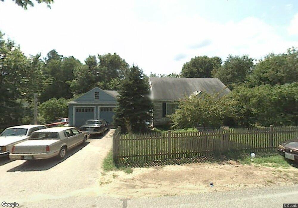
12 Atwood Rd Pelham, NH 03076
Estimated Value: $509,748 - $668,000
4
Beds
1
Bath
1,596
Sq Ft
$358/Sq Ft
Est. Value
About This Home
This home is located at 12 Atwood Rd, Pelham, NH 03076 and is currently estimated at $571,687, approximately $358 per square foot. 12 Atwood Rd is a home located in Hillsborough County with nearby schools including Pelham Elementary School, Pelham Memorial School, and Pelham High School.
Ownership History
Date
Name
Owned For
Owner Type
Purchase Details
Closed on
Feb 1, 2010
Sold by
Deutsche Bk Natl T Co
Bought by
Pacheco Raeann
Current Estimated Value
Home Financials for this Owner
Home Financials are based on the most recent Mortgage that was taken out on this home.
Original Mortgage
$175,000
Outstanding Balance
$115,356
Interest Rate
4.95%
Mortgage Type
Purchase Money Mortgage
Estimated Equity
$456,331
Purchase Details
Closed on
Apr 13, 2009
Sold by
Nutting Brian
Bought by
Deutsche Bk Natl T Co
Purchase Details
Closed on
Nov 15, 2000
Sold by
Kirby Alice R
Bought by
Nutting Brian
Home Financials for this Owner
Home Financials are based on the most recent Mortgage that was taken out on this home.
Original Mortgage
$115,500
Interest Rate
7.78%
Create a Home Valuation Report for This Property
The Home Valuation Report is an in-depth analysis detailing your home's value as well as a comparison with similar homes in the area
Home Values in the Area
Average Home Value in this Area
Purchase History
| Date | Buyer | Sale Price | Title Company |
|---|---|---|---|
| Pacheco Raeann | $110,000 | -- | |
| Deutsche Bk Natl T Co | $229,700 | -- | |
| Nutting Brian | $165,300 | -- |
Source: Public Records
Mortgage History
| Date | Status | Borrower | Loan Amount |
|---|---|---|---|
| Open | Nutting Brian | $175,000 | |
| Previous Owner | Nutting Brian | $227,000 | |
| Previous Owner | Nutting Brian | $115,500 |
Source: Public Records
Tax History Compared to Growth
Tax History
| Year | Tax Paid | Tax Assessment Tax Assessment Total Assessment is a certain percentage of the fair market value that is determined by local assessors to be the total taxable value of land and additions on the property. | Land | Improvement |
|---|---|---|---|---|
| 2024 | $6,188 | $337,400 | $128,000 | $209,400 |
| 2023 | $6,137 | $337,400 | $128,000 | $209,400 |
| 2022 | $5,878 | $337,400 | $128,000 | $209,400 |
| 2021 | $5,385 | $337,400 | $128,000 | $209,400 |
| 2020 | $5,525 | $273,500 | $103,000 | $170,500 |
| 2019 | $5,306 | $273,500 | $103,000 | $170,500 |
| 2018 | $5,382 | $250,800 | $103,000 | $147,800 |
| 2017 | $5,380 | $250,800 | $103,000 | $147,800 |
| 2016 | $5,254 | $250,800 | $103,000 | $147,800 |
| 2015 | $5,238 | $225,200 | $97,800 | $127,400 |
| 2014 | $5,150 | $225,200 | $97,800 | $127,400 |
| 2013 | $5,150 | $225,200 | $97,800 | $127,400 |
Source: Public Records
Map
Nearby Homes
- 4 Haystack Cir
- 10 Dutton Rd
- 1 Currier Rd
- 63 Marsh Rd
- 50 Dutton Rd
- 45 Hobbs Rd
- 1 Redwood Rd
- 5 Stephanie Dr
- 59 Thistlewood Dr Unit 47
- 71 Deer Hill Cir
- 2 S Shore Dr
- Lot 4 Canterbury Rd Unit 4
- 34 Frontier Dr
- 436 Mammoth Rd
- 508 Mammoth Rd
- 27 Wellesley Dr
- 446 Mammoth Rd
- 10 Oakland Ridge Rd Unit 11
- 4 Melody Ln
- 2 Iris Ave