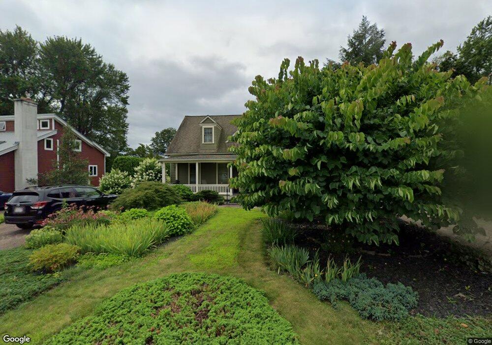
12 Burts Pit Rd Northampton, MA 01060
Florence NeighborhoodEstimated Value: $900,000 - $983,000
3
Beds
3
Baths
2,504
Sq Ft
$374/Sq Ft
Est. Value
About This Home
This home is located at 12 Burts Pit Rd, Northampton, MA 01060 and is currently estimated at $935,984, approximately $373 per square foot. 12 Burts Pit Rd is a home located in Hampshire County with nearby schools including Northampton High School, Hilltown Cooperative Charter Public School, and The Montessori School of Northampton.
Ownership History
Date
Name
Owned For
Owner Type
Purchase Details
Closed on
Jun 18, 2024
Sold by
Birs Melinda
Bought by
Johnatan D & M A Birs Lt and Birs
Current Estimated Value
Purchase Details
Closed on
Mar 3, 2021
Sold by
Pushkin Louise
Bought by
Birs Melinda
Purchase Details
Closed on
Dec 8, 2020
Sold by
Michael A Pushkin Lt and Pushkin
Bought by
Pushkin Louise
Purchase Details
Closed on
May 1, 1982
Bought by
Lt Michael A Pushkin
Create a Home Valuation Report for This Property
The Home Valuation Report is an in-depth analysis detailing your home's value as well as a comparison with similar homes in the area
Home Values in the Area
Average Home Value in this Area
Purchase History
| Date | Buyer | Sale Price | Title Company |
|---|---|---|---|
| Johnatan D & M A Birs Lt | -- | None Available | |
| Johnatan D & M A Birs Lt | -- | None Available | |
| Birs Melinda | -- | None Available | |
| Birs Melinda | -- | None Available | |
| Pushkin Louise | -- | None Available | |
| Pushkin Louise | -- | None Available | |
| Lt Michael A Pushkin | $26,000 | -- |
Source: Public Records
Tax History Compared to Growth
Tax History
| Year | Tax Paid | Tax Assessment Tax Assessment Total Assessment is a certain percentage of the fair market value that is determined by local assessors to be the total taxable value of land and additions on the property. | Land | Improvement |
|---|---|---|---|---|
| 2025 | $11,133 | $799,200 | $130,900 | $668,300 |
| 2024 | $10,717 | $705,500 | $130,900 | $574,600 |
| 2023 | $9,461 | $597,300 | $118,900 | $478,400 |
| 2022 | $8,244 | $460,800 | $111,300 | $349,500 |
| 2021 | $8,312 | $478,500 | $105,900 | $372,600 |
| 2020 | $8,039 | $478,500 | $105,900 | $372,600 |
| 2019 | $7,667 | $441,400 | $98,700 | $342,700 |
| 2018 | $7,359 | $427,600 | $98,700 | $328,900 |
| 2017 | $7,137 | $427,600 | $98,700 | $328,900 |
| 2016 | $6,910 | $427,600 | $98,700 | $328,900 |
| 2015 | $6,949 | $439,800 | $103,100 | $336,700 |
| 2014 | $6,769 | $439,800 | $103,100 | $336,700 |
Source: Public Records
Map
Nearby Homes
- 49 Kensington Ave
- 56 Olive St
- 218 Elm St
- 12 School St
- 57 Columbus Ave
- 25 Munroe St
- 35 New South St Unit 307
- 321 Riverside Dr
- 11 Norwood Ave
- 325 Riverside Dr
- 67 Old South St
- 244 Main St
- 63 Riverside Dr
- 14 Arlington St
- 43 Center St Unit K
- 61 Woodlawn Ave
- 86 Lyman Rd
- 723 Florence Rd
- 215 State St
- 37 Finn St