12 Dune Ln Gloucester, MA 01930
West Gloucester NeighborhoodEstimated Value: $1,037,000 - $1,373,000
4
Beds
2
Baths
977
Sq Ft
$1,210/Sq Ft
Est. Value
About This Home
This home is located at 12 Dune Ln, Gloucester, MA 01930 and is currently estimated at $1,182,071, approximately $1,209 per square foot. 12 Dune Ln is a home located in Essex County with nearby schools including West Parish, Ralph B O'maley Middle School, and Gloucester High School.
Create a Home Valuation Report for This Property
The Home Valuation Report is an in-depth analysis detailing your home's value as well as a comparison with similar homes in the area
Home Values in the Area
Average Home Value in this Area
Tax History
| Year | Tax Paid | Tax Assessment Tax Assessment Total Assessment is a certain percentage of the fair market value that is determined by local assessors to be the total taxable value of land and additions on the property. | Land | Improvement |
|---|---|---|---|---|
| 2025 | $8,557 | $880,300 | $765,700 | $114,600 |
| 2024 | $8,209 | $843,700 | $729,100 | $114,600 |
| 2023 | $7,682 | $725,400 | $622,200 | $103,200 |
| 2022 | $7,559 | $644,400 | $541,200 | $103,200 |
| 2021 | $7,313 | $587,900 | $491,900 | $96,000 |
| 2020 | $7,325 | $594,100 | $491,900 | $102,200 |
| 2019 | $7,132 | $562,000 | $469,000 | $93,000 |
| 2018 | $7,808 | $603,900 | $457,600 | $146,300 |
| 2017 | $7,551 | $572,500 | $435,800 | $136,700 |
| 2016 | $7,353 | $540,300 | $416,800 | $123,500 |
| 2015 | $7,117 | $521,400 | $407,300 | $114,100 |
Source: Public Records
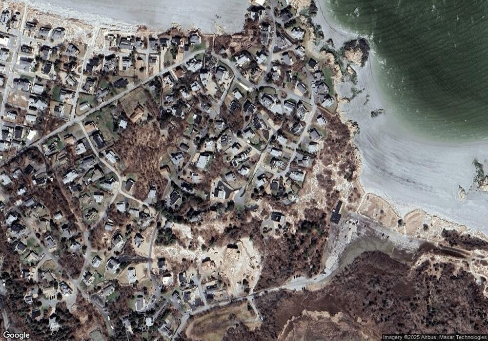
Map
Nearby Homes
- 226 Atlantic St
- 178 Atlantic St
- 167 Atlantic St
- 2 Breezy Point Rd
- 672 Washington St
- 13 Honeysuckle Rd
- 3 Deacon Farm Ln
- 7 Colburn St
- 31 Echo Ave
- 1030 Washington St
- 43 High St Unit B
- 7 Leaman Dr
- 5 Samoset Rd Unit B
- 13 Mystic Ave
- 8 Mystic Ave
- 6 Monroe Ct
- 98 Maplewood Ave
- 10 Emerald St
- 145 Essex Ave Unit 402
- 24 Cobblestone Ln Unit 603
Your Personal Tour Guide
Ask me questions while you tour the home.