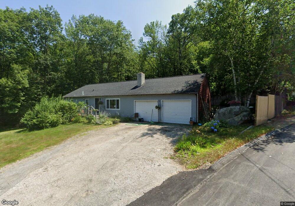
12 Fortier Rd Meredith, NH 03253
Estimated Value: $385,000 - $439,000
3
Beds
1
Bath
1,040
Sq Ft
$396/Sq Ft
Est. Value
About This Home
This home is located at 12 Fortier Rd, Meredith, NH 03253 and is currently estimated at $411,567, approximately $395 per square foot. 12 Fortier Rd is a home with nearby schools including Inter-Lakes Elementary School, Sandwich Central School, and Inter-Lakes Middle High School.
Ownership History
Date
Name
Owned For
Owner Type
Purchase Details
Closed on
Dec 4, 2019
Sold by
Potter Gordon M
Bought by
Potter Gordon M and Appleton-Potter Robin E
Current Estimated Value
Home Financials for this Owner
Home Financials are based on the most recent Mortgage that was taken out on this home.
Original Mortgage
$145,000
Outstanding Balance
$127,954
Interest Rate
3.6%
Mortgage Type
New Conventional
Estimated Equity
$283,613
Create a Home Valuation Report for This Property
The Home Valuation Report is an in-depth analysis detailing your home's value as well as a comparison with similar homes in the area
Home Values in the Area
Average Home Value in this Area
Purchase History
| Date | Buyer | Sale Price | Title Company |
|---|---|---|---|
| Potter Gordon M | -- | None Available | |
| Potter Gordon M | -- | None Available |
Source: Public Records
Mortgage History
| Date | Status | Borrower | Loan Amount |
|---|---|---|---|
| Open | Potter Gordon M | $145,000 | |
| Closed | Potter Gordon M | $145,000 |
Source: Public Records
Tax History
| Year | Tax Paid | Tax Assessment Tax Assessment Total Assessment is a certain percentage of the fair market value that is determined by local assessors to be the total taxable value of land and additions on the property. | Land | Improvement |
|---|---|---|---|---|
| 2024 | $2,895 | $282,200 | $122,800 | $159,400 |
| 2023 | $2,791 | $282,200 | $122,800 | $159,400 |
| 2022 | $2,707 | $193,800 | $71,900 | $121,900 |
| 2021 | $2,603 | $193,800 | $71,900 | $121,900 |
| 2020 | $2,717 | $193,800 | $71,900 | $121,900 |
| 2019 | $2,644 | $166,400 | $58,100 | $108,300 |
| 2018 | $2,599 | $166,400 | $58,100 | $108,300 |
| 2016 | $2,415 | $154,900 | $56,400 | $98,500 |
| 2015 | $2,354 | $154,900 | $56,400 | $98,500 |
| 2014 | $2,297 | $154,900 | $56,400 | $98,500 |
| 2013 | $2,232 | $154,900 | $56,400 | $98,500 |
Source: Public Records
Map
Nearby Homes
- 34-35-36 Commerce Ct
- 35 Reservoir Rd
- 21 Upper Ladd Hill Rd
- 47 Clover Ridge Rd
- 2 Waukewan Ave
- 57 Winona Rd
- 18 Bay Ridge Dr
- 11 Bonney Shores Rd
- 00 Tracy Way Unit 63
- 18 Hickorywood Cir
- 29 S Watch Rd
- 9 Westbury Rd
- 70 Hatch Corner Rd
- 64 Granite Ridge
- 74 Granite Ridge
- 78 Granite Ridge
- Lot 3 Winona Rd
- Lot 1 Winona Rd
- Lot 2 Winona Rd
- Lot 4 Winona Rd
- 2 Fortier Rd
- 17 Fortier Rd
- 8 Fortier Rd
- 15 Fortier Rd
- 11 Fortier Rd
- 9 Fortier Rd
- 7 Fortier Rd
- 5 Fortier Rd
- 11 Carder Ln
- 96 Waukewan St
- 4 Fortier Rd Unit 2
- 4 Fortier Rd
- 4 Fortier Rd Unit 6
- 106 Waukewan St
- 1 Fortier Rd
- 104 Waukewan St
- 6 Piper Ln
- 94 Waukewan St
- Lot 4 132 Waukewan St
- Lot 2-3-4 Waukewan St
Your Personal Tour Guide
Ask me questions while you tour the home.