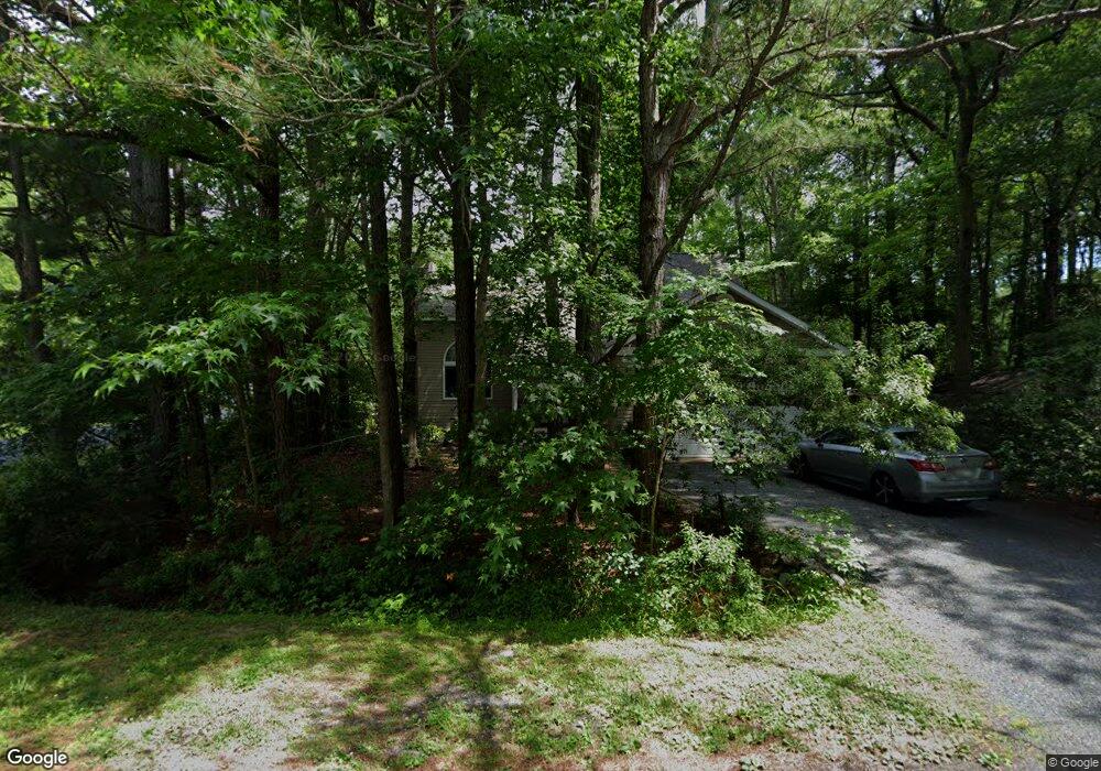
12 High Sheriff Trail Berlin, MD 21811
Estimated Value: $421,882 - $464,000
3
Beds
3
Baths
1,900
Sq Ft
$235/Sq Ft
Est. Value
About This Home
This home is located at 12 High Sheriff Trail, Berlin, MD 21811 and is currently estimated at $446,971, approximately $235 per square foot. 12 High Sheriff Trail is a home located in Worcester County with nearby schools including Showell Elementary School, Stephen Decatur Middle School, and Berlin Intermediate School.
Ownership History
Date
Name
Owned For
Owner Type
Purchase Details
Closed on
Feb 10, 2017
Sold by
Manges Frederick W
Bought by
Kahl Paul G and Kahl Waclawski
Current Estimated Value
Home Financials for this Owner
Home Financials are based on the most recent Mortgage that was taken out on this home.
Original Mortgage
$198,000
Outstanding Balance
$164,483
Interest Rate
4.32%
Mortgage Type
New Conventional
Estimated Equity
$282,488
Purchase Details
Closed on
May 28, 1992
Sold by
Ater Richard W
Bought by
Mangels Frederick H and Mangels Jane G
Create a Home Valuation Report for This Property
The Home Valuation Report is an in-depth analysis detailing your home's value as well as a comparison with similar homes in the area
Home Values in the Area
Average Home Value in this Area
Purchase History
| Date | Buyer | Sale Price | Title Company |
|---|---|---|---|
| Kahl Paul G | $247,500 | Capitol Title Ins Agency Inc | |
| Mangels Frederick H | $13,500 | -- |
Source: Public Records
Mortgage History
| Date | Status | Borrower | Loan Amount |
|---|---|---|---|
| Open | Kahl Paul G | $198,000 |
Source: Public Records
Tax History Compared to Growth
Tax History
| Year | Tax Paid | Tax Assessment Tax Assessment Total Assessment is a certain percentage of the fair market value that is determined by local assessors to be the total taxable value of land and additions on the property. | Land | Improvement |
|---|---|---|---|---|
| 2025 | $2,479 | $329,867 | $0 | $0 |
| 2024 | $2,468 | $307,500 | $90,000 | $217,500 |
| 2023 | $2,375 | $282,100 | $0 | $0 |
| 2022 | $2,287 | $256,700 | $0 | $0 |
| 2021 | $2,212 | $231,300 | $67,500 | $163,800 |
| 2020 | $2,148 | $224,600 | $0 | $0 |
| 2019 | $2,085 | $217,900 | $0 | $0 |
| 2018 | $1,991 | $211,200 | $62,500 | $148,700 |
| 2017 | $2,000 | $211,200 | $0 | $0 |
| 2016 | -- | $211,200 | $0 | $0 |
| 2015 | $1,620 | $213,600 | $0 | $0 |
| 2014 | $1,620 | $213,600 | $0 | $0 |
Source: Public Records
Map
Nearby Homes
- 152 Camelot Cir
- 124 Camelot Cir
- 123 Camelot Cir
- 201 Charleston Rd
- 1212 Ocean Pkwy
- 6 Pine Cone Way
- 20 Camelot Cir
- 55 High Sheriff Trail
- 226 Charleston Rd
- 9 Laurel Trail
- 75 Robin Hood Trail
- 107 Port Arthur Ct
- 4 Abbey Cir
- 120 Robin Hood Trail
- 30 Fort Sumter S
- 505 Tidewater Cove
- 4 Poacher Trail
- 20 Chatham Ct
- 21 Sloop Ln
- 8 Long Point Ct
- 144 Camelot Cir
- 10 High Sheriff Trail
- 146 Camelot Cir
- 141 Camelot Cir
- 11 High Sheriff Trail
- 8 High Sheriff Trail
- 143 Camelot Cir
- 9 High Sheriff Trail
- 139 Camelot Cir
- 145 Camelot Cir
- 148 Camelot Cir
- 6 High Sheriff Trail
- 1256 Ocean Pkwy
- 137 Camelot Cir
- 147 Camelot Cir
- 7 High Sheriff Trail
- 1254 Ocean Pkwy
- 149 Camelot Cir
- 135 Camelot Cir
- 134 Camelot Cir