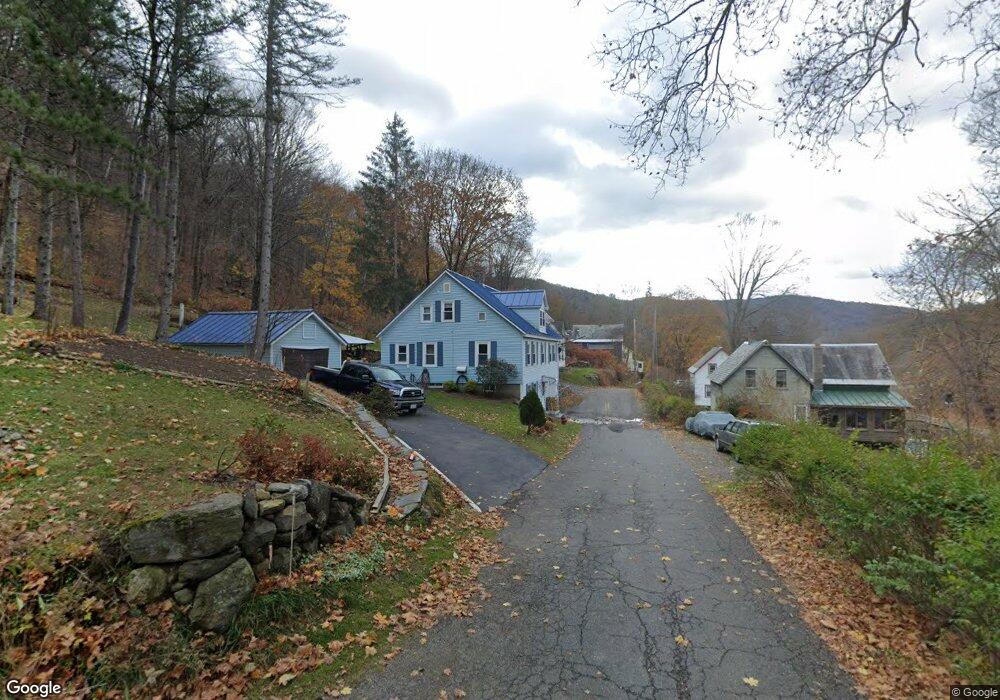
12 High St Colrain, MA 01340
Colrain NeighborhoodEstimated Value: $158,000 - $316,000
3
Beds
2
Baths
1,710
Sq Ft
$144/Sq Ft
Est. Value
About This Home
This home is located at 12 High St, Colrain, MA 01340 and is currently estimated at $245,586, approximately $143 per square foot. 12 High St is a home located in Franklin County with nearby schools including Mohawk Trail Regional High School.
Create a Home Valuation Report for This Property
The Home Valuation Report is an in-depth analysis detailing your home's value as well as a comparison with similar homes in the area
Home Values in the Area
Average Home Value in this Area
Tax History
| Year | Tax Paid | Tax Assessment Tax Assessment Total Assessment is a certain percentage of the fair market value that is determined by local assessors to be the total taxable value of land and additions on the property. | Land | Improvement |
|---|---|---|---|---|
| 2025 | $3,101 | $169,800 | $28,100 | $141,700 |
| 2024 | $3,113 | $164,000 | $28,100 | $135,900 |
| 2023 | $3,143 | $160,100 | $28,100 | $132,000 |
| 2022 | $2,720 | $132,800 | $28,100 | $104,700 |
| 2021 | $2,810 | $132,800 | $28,100 | $104,700 |
| 2020 | $2,647 | $132,800 | $28,100 | $104,700 |
| 2019 | $2,573 | $125,100 | $28,100 | $97,000 |
| 2018 | $2,247 | $111,000 | $20,500 | $90,500 |
| 2017 | $2,187 | $111,000 | $20,500 | $90,500 |
| 2016 | $2,075 | $111,100 | $20,500 | $90,600 |
| 2015 | $2,010 | $111,100 | $20,500 | $90,600 |
Source: Public Records
Map
Nearby Homes
- 2155 Massachusetts 2
- 2151 Route 2
- 30 Main St
- 295 Jacksonville Rd
- 10 Deerfield Ave Unit 2
- 8 Deer Run Path
- 151 Smead Hill Rd
- 23 E Brook Dr
- 71 George Lamb Rd
- 13 Bray Rd
- 0 W Oxbow Rd Unit 73453651
- 0 W Oxbow Rd Unit 248444
- 24 W Oxbow Rd
- 3 Flagg Hill Rd
- 9 Hancock Ln
- 714 Colrain Rd
- 25 Barton Rd
- 14 South Rd
- 7 Hog Hollow Rd
- 1451 Massachusetts 2
Your Personal Tour Guide
Ask me questions while you tour the home.