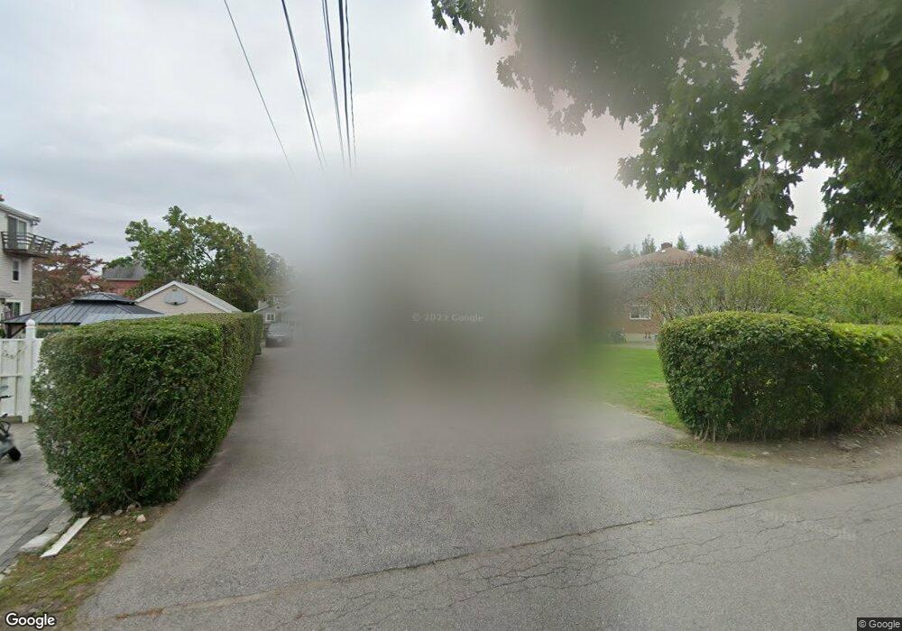
12 Lill Ave Unit U West Newton, MA 02465
West Newton NeighborhoodEstimated Value: $1,377,000 - $1,418,816
3
Beds
1
Bath
1,250
Sq Ft
$1,119/Sq Ft
Est. Value
About This Home
This home is located at 12 Lill Ave Unit U, West Newton, MA 02465 and is currently estimated at $1,398,954, approximately $1,119 per square foot. 12 Lill Ave Unit U is a home located in Middlesex County with nearby schools including C.C. Burr, F.A. Day Middle School, and Newton North High School.
Create a Home Valuation Report for This Property
The Home Valuation Report is an in-depth analysis detailing your home's value as well as a comparison with similar homes in the area
Home Values in the Area
Average Home Value in this Area
Tax History Compared to Growth
Tax History
| Year | Tax Paid | Tax Assessment Tax Assessment Total Assessment is a certain percentage of the fair market value that is determined by local assessors to be the total taxable value of land and additions on the property. | Land | Improvement |
|---|---|---|---|---|
| 2025 | $10,892 | $1,111,400 | $869,400 | $242,000 |
| 2024 | $10,531 | $1,079,000 | $844,100 | $234,900 |
| 2023 | $10,125 | $994,600 | $688,100 | $306,500 |
| 2022 | $9,688 | $920,900 | $637,100 | $283,800 |
| 2021 | $9,091 | $844,900 | $584,500 | $260,400 |
| 2020 | $8,821 | $844,900 | $584,500 | $260,400 |
| 2019 | $8,251 | $789,600 | $546,300 | $243,300 |
| 2018 | $8,213 | $759,100 | $512,400 | $246,700 |
| 2017 | $7,732 | $695,300 | $470,100 | $225,200 |
| 2016 | $7,259 | $637,900 | $431,300 | $206,600 |
| 2015 | $6,922 | $596,200 | $403,100 | $193,100 |
Source: Public Records
Map
Nearby Homes
- 265-267 River St Unit 267
- 265-267 River St Unit 265
- 90 Auburndale Ave
- 56 Dearborn St
- 44 Westland Ave
- 101-103 Lexington St
- 14 Cottage Place Unit 14
- 106 River St Unit 18
- 106 River St Unit 2
- 106 River St Unit 14
- 2 Elm St Unit 6
- 2 Elm St Unit 8
- 160 Pine St Unit 12
- 287 Cherry St Unit 2
- 371 Cherry St
- 41 Kilburn Rd
- 11 Derby St
- 10 Crescent St Unit 1
- 10 Crescent St Unit 2
- 17 Crescent St
- 12 Lill Ave Unit 14
- 22 Lill Ave Unit 24
- 24 Lill Ave Unit 24
- 238 River St
- 242 River St
- 19 Pine St Unit 21
- 19 Pine St Unit 2
- 19 Pine St Unit 1
- 15 Pine St
- 250 River St
- 228 River St
- 27 Pine St
- 9 Lill Ave
- 15 Lill Ave
- 19 Lill Ave
- 256 River St
- 27 Lill Ave
- 16 Pine St Unit 18
- 16 Pine St Unit 2
- 18 Pine St Unit 1