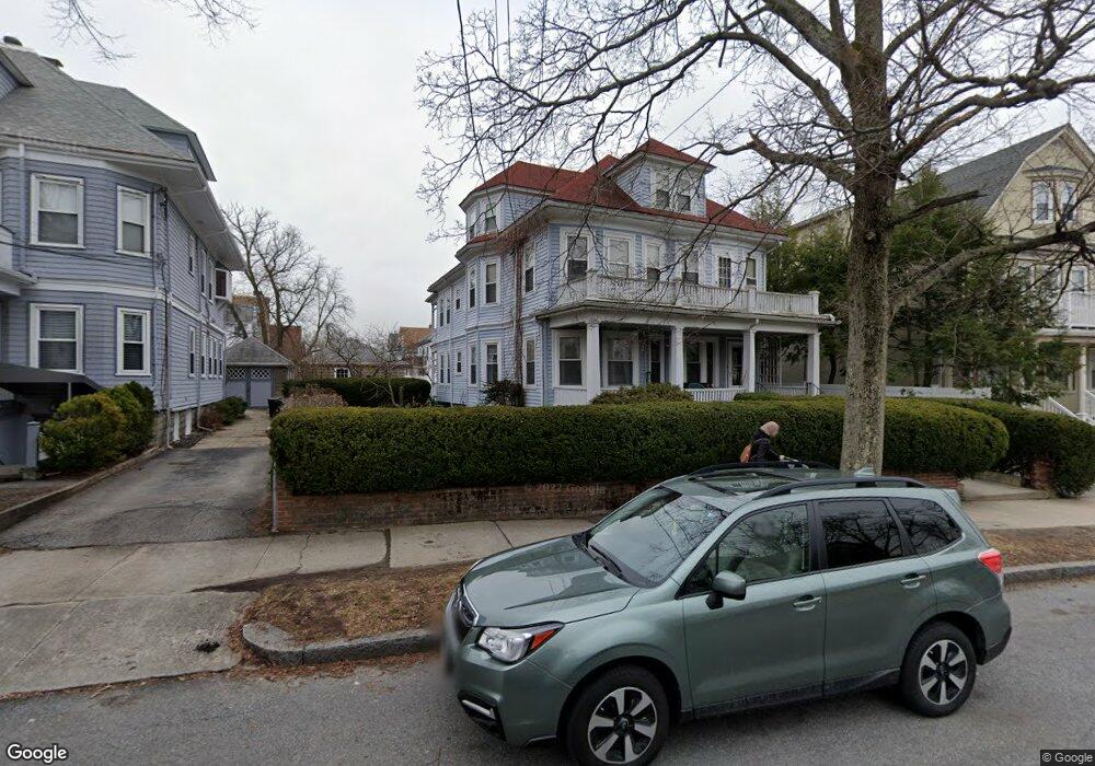
12 Orvis Rd Unit 14 Arlington, MA 02474
East Arlington NeighborhoodEstimated Value: $1,292,000 - $1,407,862
4
Beds
2
Baths
2,751
Sq Ft
$486/Sq Ft
Est. Value
About This Home
This home is located at 12 Orvis Rd Unit 14, Arlington, MA 02474 and is currently estimated at $1,336,466, approximately $485 per square foot. 12 Orvis Rd Unit 14 is a home located in Middlesex County with nearby schools including Hardy Elementary School, Ottoson Middle School, and Arlington High School.
Ownership History
Date
Name
Owned For
Owner Type
Purchase Details
Closed on
Apr 28, 2014
Sold by
Bento Dennis M
Bought by
Dennis M Bento Lt and Bento
Current Estimated Value
Purchase Details
Closed on
Jan 31, 2014
Sold by
Bento Anthony M and Bento Manuel L
Bought by
Campbell Dennis M and Campbell Elaine M
Purchase Details
Closed on
Nov 25, 2013
Sold by
Campbell Catriona
Bought by
Campbell Elaine M
Purchase Details
Closed on
Nov 20, 2013
Sold by
Bento Antonio M Est and Bento
Bought by
Bento Dennis M
Create a Home Valuation Report for This Property
The Home Valuation Report is an in-depth analysis detailing your home's value as well as a comparison with similar homes in the area
Home Values in the Area
Average Home Value in this Area
Purchase History
| Date | Buyer | Sale Price | Title Company |
|---|---|---|---|
| Dennis M Bento Lt | -- | -- | |
| Campbell Dennis M | $265,000 | -- | |
| Campbell Elaine M | -- | -- | |
| Bento Dennis M | -- | -- |
Source: Public Records
Tax History Compared to Growth
Tax History
| Year | Tax Paid | Tax Assessment Tax Assessment Total Assessment is a certain percentage of the fair market value that is determined by local assessors to be the total taxable value of land and additions on the property. | Land | Improvement |
|---|---|---|---|---|
| 2025 | $12,423 | $1,153,500 | $637,900 | $515,600 |
| 2024 | $11,482 | $1,084,200 | $607,200 | $477,000 |
| 2023 | $11,461 | $1,022,400 | $509,100 | $513,300 |
| 2022 | $11,412 | $999,300 | $490,700 | $508,600 |
| 2021 | $11,070 | $976,200 | $490,700 | $485,500 |
| 2020 | $10,797 | $976,200 | $490,700 | $485,500 |
| 2019 | $10,097 | $896,700 | $521,300 | $375,400 |
| 2018 | $9,167 | $755,700 | $380,300 | $375,400 |
| 2017 | $8,972 | $714,300 | $331,200 | $383,100 |
| 2016 | $8,515 | $665,200 | $282,100 | $383,100 |
| 2015 | $8,355 | $616,600 | $276,000 | $340,600 |
Source: Public Records
Map
Nearby Homes
- 230 Massachusetts Ave Unit 6
- 215 Massachusetts Ave Unit 19 (34)
- 22 Hamilton Rd Unit 206
- 18 Belknap St Unit 2
- 18 Belknap St Unit 1
- 35 Windsor St Unit 1
- 25-27 Adams St
- 42-44 Warren St Unit 42
- 62-64 Waldo Rd
- 31 Mott St Unit 31A
- 128 Thorndike St Unit 2
- 137-139 Thorndike St Unit 2
- 77 Warren St Unit A
- 41 Palmer St Unit 43
- 27 Dartmouth St Unit 29
- 23 Yale Rd
- 3 Seagrave Rd
- 94 Rawson Rd Unit 94
- 70 Victoria St
- 57 Garrison Ave
- 6 Orvis Rd Unit 6
- 6-8 Orvis Rd Unit 3
- 68 Orvis Rd
- 68 Orvis Rd Unit 3
- 6-8 Orvis Rd
- 4 Orvis Rd Unit 4
- 8 Orvis Rd Unit 8
- 16 Orvis Rd Unit 1
- 16 Orvis Rd Unit 16
- 16 Orvis Rd Unit 18
- 16 Orvis Rd Unit 2
- 27 Freeman St Unit 29
- 232 Massachusetts Ave
- 230 Mass Ave Unit 9
- 230 Massachusetts Ave Unit B
- 230 Massachusetts Ave Unit 12
- 230 Massachusetts Ave Unit 11
- 230 Massachusetts Ave Unit 10
- 230 Massachusetts Ave Unit 9
- 230 Massachusetts Ave Unit 8