12 Puffer Rd Canterbury, NH 03224
Estimated Value: $425,000 - $607,000
2
Beds
1
Bath
1,653
Sq Ft
$297/Sq Ft
Est. Value
About This Home
This home is located at 12 Puffer Rd, Canterbury, NH 03224 and is currently estimated at $491,477, approximately $297 per square foot. 12 Puffer Rd is a home located in Merrimack County with nearby schools including Canterbury Elementary School, Belmont Middle School, and Belmont High School.
Ownership History
Date
Name
Owned For
Owner Type
Purchase Details
Closed on
Nov 2, 1998
Sold by
Mcintyre Alan
Bought by
Seeley Linda C and Seeley Florence G
Current Estimated Value
Home Financials for this Owner
Home Financials are based on the most recent Mortgage that was taken out on this home.
Original Mortgage
$73,800
Outstanding Balance
$16,236
Interest Rate
6.68%
Estimated Equity
$475,241
Purchase Details
Closed on
Feb 28, 1997
Sold by
Mount John R and Mount Jeri A
Bought by
Secy Vetrns Affairs
Create a Home Valuation Report for This Property
The Home Valuation Report is an in-depth analysis detailing your home's value as well as a comparison with similar homes in the area
Home Values in the Area
Average Home Value in this Area
Purchase History
| Date | Buyer | Sale Price | Title Company |
|---|---|---|---|
| Seeley Linda C | $82,000 | -- | |
| Secy Vetrns Affairs | $72,200 | -- |
Source: Public Records
Mortgage History
| Date | Status | Borrower | Loan Amount |
|---|---|---|---|
| Open | Secy Vetrns Affairs | $73,800 |
Source: Public Records
Tax History Compared to Growth
Tax History
| Year | Tax Paid | Tax Assessment Tax Assessment Total Assessment is a certain percentage of the fair market value that is determined by local assessors to be the total taxable value of land and additions on the property. | Land | Improvement |
|---|---|---|---|---|
| 2024 | $6,484 | $285,900 | $114,000 | $171,900 |
| 2023 | $6,004 | $285,900 | $114,000 | $171,900 |
| 2022 | $5,947 | $285,900 | $114,000 | $171,900 |
| 2021 | $5,864 | $285,900 | $114,000 | $171,900 |
| 2020 | $5,248 | $190,200 | $81,000 | $109,200 |
| 2019 | $5,301 | $190,200 | $81,000 | $109,200 |
| 2018 | $5,054 | $190,200 | $81,000 | $109,200 |
| 2017 | $4,941 | $190,200 | $81,000 | $109,200 |
| 2016 | $4,745 | $190,200 | $81,000 | $109,200 |
| 2015 | $4,762 | $179,300 | $84,000 | $95,300 |
| 2014 | $4,850 | $179,300 | $84,000 | $95,300 |
| 2013 | $4,846 | $185,400 | $84,000 | $101,400 |
Source: Public Records
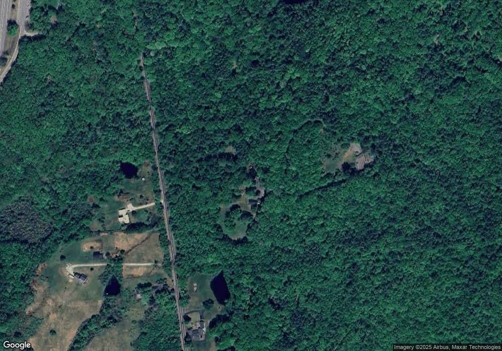
Map
Nearby Homes
- 527 Northwest Rd
- 299 Concord Rd
- 187 Intervale Rd
- 57 Center Rd
- 222 Daniel Webster Hwy
- 19 Bailey Dr
- 593 Prospect St
- 603 Prospect St
- 254 King St
- 26 Welch Rd
- 9 High St
- 250 King St
- 195 Zion Hill Rd
- 187 King St
- 50 Diana Dr
- 25 Merrill Corner Rd
- 437 High St
- 309 Southwest Rd
- 000 Baptist Rd Unit 1
- 00 Smith Hill Rd Unit 401
- 11 Puffer Rd
- 16 Puffer Rd
- 596 Northwest Rd
- 588 Northwest Rd
- 581 Northwest Rd
- 581 Northwest Rd
- 592 Northwest Rd
- 576 Northwest Rd
- 21 Ayers Rd
- 568 Northwest Rd
- 0 Borough Rd
- 0 Borough Rd Unit 4975099
- 0 Borough Rd Unit 4655112
- 8 Ayers Rd
- 8 Ayers Rd
- 562 Northwest Rd
- 18 Ayers Rd
- 24 Ayers Rd
- 294 Old Tilton Rd
- 175 Lambert Rd