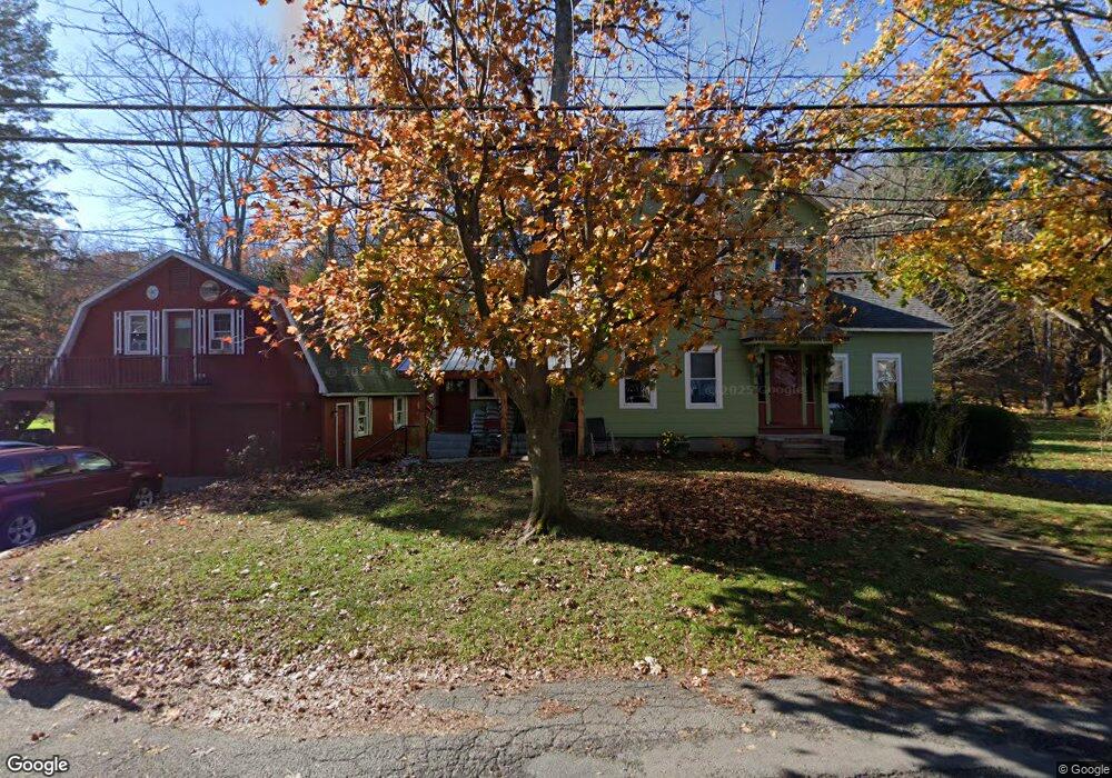
12 South St Shelburne Falls, MA 01370
Buckland NeighborhoodEstimated Value: $460,762 - $513,000
5
Beds
2
Baths
2,597
Sq Ft
$188/Sq Ft
Est. Value
About This Home
This home is located at 12 South St, Shelburne Falls, MA 01370 and is currently estimated at $487,441, approximately $187 per square foot. 12 South St is a home with nearby schools including Mohawk Trail Regional High School.
Ownership History
Date
Name
Owned For
Owner Type
Purchase Details
Closed on
Apr 26, 2017
Sold by
Corliss Janice T
Bought by
Int Corliss
Current Estimated Value
Purchase Details
Closed on
Nov 8, 2016
Sold by
Int Corliss
Bought by
Corliss Janice T
Purchase Details
Closed on
Apr 19, 2012
Sold by
Corliss James D and Corliss Janice T
Bought by
Corliss Invest T
Create a Home Valuation Report for This Property
The Home Valuation Report is an in-depth analysis detailing your home's value as well as a comparison with similar homes in the area
Home Values in the Area
Average Home Value in this Area
Purchase History
| Date | Buyer | Sale Price | Title Company |
|---|---|---|---|
| Int Corliss | -- | -- | |
| Corliss Janice T | -- | -- | |
| Corliss Invest T | -- | -- |
Source: Public Records
Mortgage History
| Date | Status | Borrower | Loan Amount |
|---|---|---|---|
| Previous Owner | Corliss Invest T | $35,000 | |
| Previous Owner | Corliss Invest T | $30,000 | |
| Previous Owner | Corliss Invest T | $30,000 |
Source: Public Records
Tax History Compared to Growth
Tax History
| Year | Tax Paid | Tax Assessment Tax Assessment Total Assessment is a certain percentage of the fair market value that is determined by local assessors to be the total taxable value of land and additions on the property. | Land | Improvement |
|---|---|---|---|---|
| 2025 | $5,743 | $339,000 | $47,000 | $292,000 |
| 2024 | $5,417 | $308,500 | $47,000 | $261,500 |
| 2023 | $5,226 | $308,500 | $47,000 | $261,500 |
| 2022 | $5,177 | $308,500 | $47,000 | $261,500 |
| 2021 | $5,038 | $282,400 | $47,000 | $235,400 |
| 2020 | $4,804 | $259,400 | $47,000 | $212,400 |
| 2019 | $4,490 | $241,000 | $47,000 | $194,000 |
| 2018 | $4,368 | $231,700 | $47,000 | $184,700 |
| 2017 | $4,182 | $231,700 | $47,000 | $184,700 |
| 2016 | $3,970 | $234,900 | $47,000 | $187,900 |
| 2015 | $3,946 | $234,900 | $47,000 | $187,900 |
Source: Public Records
Map
Nearby Homes
- 10 Deerfield Ave Unit 5
- 10 Deerfield Ave Unit 2
- 105 - 107 Bridge St
- 102 Elm St
- 33 Williams St
- 2151 Route 2
- 2155 Massachusetts 2
- 7 Hog Hollow Rd
- 156 Ashfield Rd
- 0 Upper St
- 31 W Oxbow Rd
- 24 W Oxbow Rd
- 0 W Oxbow Rd Unit 73453651
- 0 Ashfield Rd
- 85 Dacey Rd
- 3+5 Church St
- lot 1 Shelburne Falls Rd
- 0 Fiske Mill Rd
- 240 Beldingville Rd
- 143 Charlemont Rd