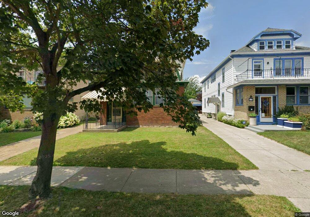
120 Shoshone St Unit Upper Buffalo, NY 14214
Central Park NeighborhoodEstimated Value: $280,000 - $365,000
3
Beds
1
Bath
1,296
Sq Ft
$260/Sq Ft
Est. Value
About This Home
This home is located at 120 Shoshone St Unit Upper, Buffalo, NY 14214 and is currently estimated at $336,513, approximately $259 per square foot. 120 Shoshone St Unit Upper is a home located in Erie County with nearby schools including Buffalo United Charter School, St. Joseph University School, and St Mark Elementary School.
Ownership History
Date
Name
Owned For
Owner Type
Purchase Details
Closed on
Apr 2, 2008
Sold by
Lorence Kent
Bought by
Padula Paul M
Current Estimated Value
Home Financials for this Owner
Home Financials are based on the most recent Mortgage that was taken out on this home.
Original Mortgage
$98,000
Outstanding Balance
$62,144
Interest Rate
5.99%
Mortgage Type
Purchase Money Mortgage
Estimated Equity
$274,369
Purchase Details
Closed on
Dec 10, 1999
Sold by
Faison Thelma M
Bought by
Nivison Beth M
Create a Home Valuation Report for This Property
The Home Valuation Report is an in-depth analysis detailing your home's value as well as a comparison with similar homes in the area
Home Values in the Area
Average Home Value in this Area
Purchase History
| Date | Buyer | Sale Price | Title Company |
|---|---|---|---|
| Padula Paul M | $118,000 | Stewart Title Insurance Co | |
| Nivison Beth M | $90,000 | -- |
Source: Public Records
Mortgage History
| Date | Status | Borrower | Loan Amount |
|---|---|---|---|
| Open | Padula Paul M | $98,000 |
Source: Public Records
Tax History Compared to Growth
Tax History
| Year | Tax Paid | Tax Assessment Tax Assessment Total Assessment is a certain percentage of the fair market value that is determined by local assessors to be the total taxable value of land and additions on the property. | Land | Improvement |
|---|---|---|---|---|
| 2024 | $866 | $171,000 | $40,000 | $131,000 |
| 2023 | $866 | $171,000 | $40,000 | $131,000 |
| 2022 | $860 | $171,000 | $40,000 | $131,000 |
| 2021 | $860 | $171,000 | $40,000 | $131,000 |
| 2020 | $908 | $171,000 | $40,000 | $131,000 |
| 2019 | $3,237 | $118,000 | $10,400 | $107,600 |
| 2018 | $3,046 | $118,000 | $10,400 | $107,600 |
| 2017 | $702 | $118,000 | $10,400 | $107,600 |
| 2016 | $2,556 | $118,000 | $10,400 | $107,600 |
| 2015 | -- | $118,000 | $10,400 | $107,600 |
| 2014 | -- | $118,000 | $10,400 | $107,600 |
Source: Public Records
Map
Nearby Homes
- 144 Carmel Rd
- 430 Parker Ave
- 1941 Hertel Ave
- 129 W Northrup Place Unit N
- 138 Wesley Ave
- 148 W Winspear Ave Unit S
- 726 Taunton Place
- 716 Taunton Place
- 2026 Hertel Ave
- 712 Taunton Place
- 326 Voorhees Ave
- 322 Voorhees Ave
- 83 Custer St
- 64 Sagamore Terrace
- 94 Tyler St
- 90 W Winspear Ave
- 55 W Northrup Place
- 481 Starin Ave
- 151 Merrimac St
- 2884 Main St
- 120 Shoshone St
- 116 Shoshone St
- 124 Shoshone St
- 128 Shoshone St
- 108 Shoshone St
- 31 Groveland St
- 27 Groveland St
- 132 Shoshone St
- 35 Groveland St
- 25 Groveland St
- 39 Groveland St
- 21 Groveland St
- 136 Shoshone St
- 104 Shoshone St
- 43 Groveland St
- 117 Shoshone St Unit 117
- 17 Groveland St
- 125 Shoshone St Unit 125
- 45 Groveland St
- 100 Shoshone St