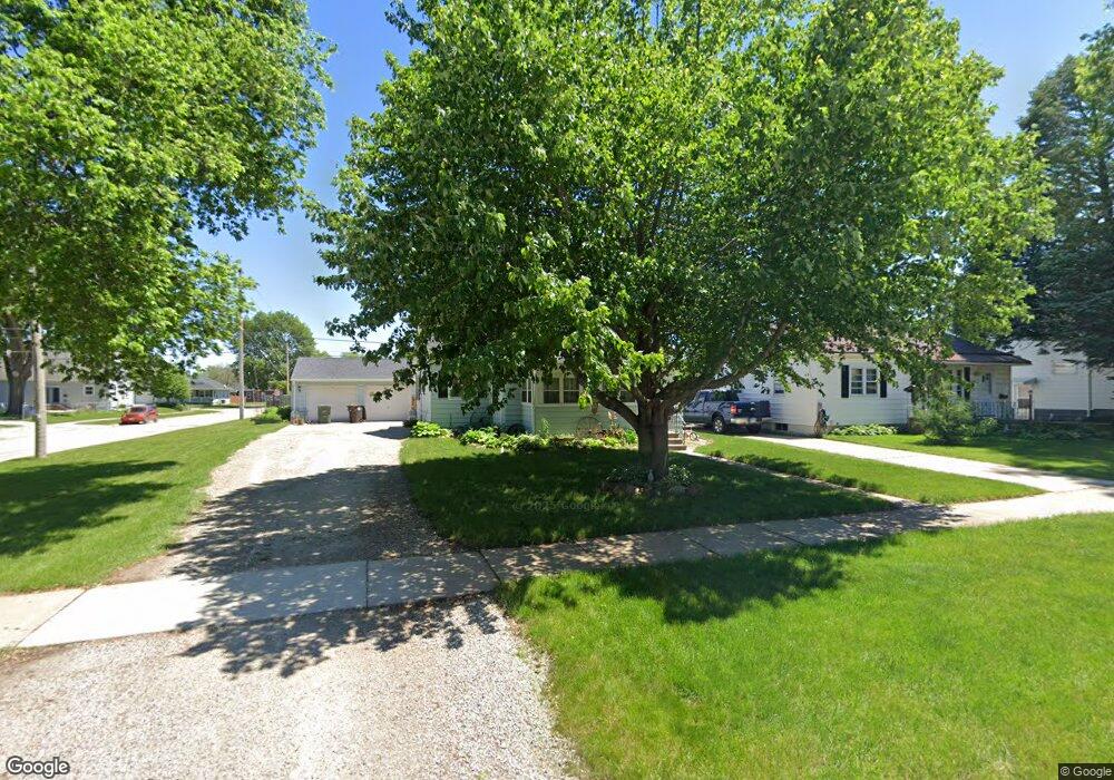
1201 Baltimore St Waterloo, IA 50702
Liberty Park NeighborhoodEstimated Value: $144,000 - $167,000
3
Beds
3
Baths
1,119
Sq Ft
$139/Sq Ft
Est. Value
About This Home
This home is located at 1201 Baltimore St, Waterloo, IA 50702 and is currently estimated at $155,016, approximately $138 per square foot. 1201 Baltimore St is a home located in Black Hawk County with nearby schools including Kittrell Elementary School, Hoover Middle School, and West High School.
Ownership History
Date
Name
Owned For
Owner Type
Purchase Details
Closed on
Feb 25, 2005
Sold by
Kilborn Melissa M
Bought by
Dow Christopher G and Dow Vera R
Current Estimated Value
Home Financials for this Owner
Home Financials are based on the most recent Mortgage that was taken out on this home.
Original Mortgage
$60,000
Outstanding Balance
$30,393
Interest Rate
5.8%
Mortgage Type
New Conventional
Estimated Equity
$124,623
Purchase Details
Closed on
Feb 8, 2005
Sold by
Regions Bank
Bought by
Dow Christopher G and Dow Vera R
Home Financials for this Owner
Home Financials are based on the most recent Mortgage that was taken out on this home.
Original Mortgage
$60,000
Outstanding Balance
$30,393
Interest Rate
5.8%
Mortgage Type
New Conventional
Estimated Equity
$124,623
Create a Home Valuation Report for This Property
The Home Valuation Report is an in-depth analysis detailing your home's value as well as a comparison with similar homes in the area
Home Values in the Area
Average Home Value in this Area
Purchase History
| Date | Buyer | Sale Price | Title Company |
|---|---|---|---|
| Dow Christopher G | $87,500 | Iowa Title & Escrow Services | |
| Dow Christopher G | -- | Iowa Title & Escrow Services |
Source: Public Records
Mortgage History
| Date | Status | Borrower | Loan Amount |
|---|---|---|---|
| Open | Dow Christopher G | $60,000 |
Source: Public Records
Tax History Compared to Growth
Tax History
| Year | Tax Paid | Tax Assessment Tax Assessment Total Assessment is a certain percentage of the fair market value that is determined by local assessors to be the total taxable value of land and additions on the property. | Land | Improvement |
|---|---|---|---|---|
| 2025 | $2,751 | $133,570 | $24,570 | $109,000 |
| 2024 | $2,751 | $125,490 | $24,570 | $100,920 |
| 2023 | $2,024 | $125,490 | $24,570 | $100,920 |
| 2022 | $1,968 | $100,990 | $24,570 | $76,420 |
| 2021 | $2,024 | $100,990 | $24,570 | $76,420 |
| 2020 | $1,986 | $97,950 | $18,900 | $79,050 |
| 2019 | $1,986 | $97,950 | $18,900 | $79,050 |
| 2018 | $1,944 | $97,950 | $18,900 | $79,050 |
| 2017 | $2,006 | $95,910 | $18,900 | $77,010 |
| 2016 | $1,978 | $95,910 | $18,900 | $77,010 |
| 2015 | $1,978 | $95,910 | $18,900 | $77,010 |
| 2014 | $1,918 | $91,630 | $18,900 | $72,730 |
Source: Public Records
Map
Nearby Homes
- 710 Eureka St
- 812 Hawthorne Ave
- 805 E Mitchell Ave
- 826 Williston Ave
- 415 Bourland Ave Unit 417
- 711 Cornwall Ave
- 1017 Forest Ave
- 922 E Mitchell Ave
- 1101 Glenny Ave
- 1415 W 9th St
- 1229 W 7th St
- 1809 Baltimore St
- 1115 Hawthorne Ave
- 707 Lorraine Ave
- 610 Baltimore St
- 117 Bertch Ave
- 1107 E Mitchell Ave
- 903 Kimball Ave
- 928 Kimball Ave
- 1125 Bertch Ave
- 1205 Baltimore St
- 1125 Baltimore St
- 620 Byron Ave
- 1207 Baltimore St
- 1222 Western Ave
- 1119 Baltimore St
- 1227 Baltimore St
- 626 Byron Ave
- 1200 Baltimore St
- 1220 Western Ave
- 628 Byron Ave
- 1115 Baltimore St
- 1229 Baltimore St
- 1204 Baltimore St
- 1214 Western Ave
- 621 Eureka St
- 1208 Baltimore St
- 1128 Baltimore St
- 1109 Baltimore St
- 704 Byron Ave