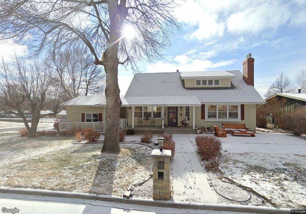
1202 Linhaven Way Billings, MT 59102
Hilands NeighborhoodEstimated Value: $449,000 - $513,000
4
Beds
4
Baths
2,026
Sq Ft
$236/Sq Ft
Est. Value
About This Home
This home is located at 1202 Linhaven Way, Billings, MT 59102 and is currently estimated at $479,005, approximately $236 per square foot. 1202 Linhaven Way is a home located in Yellowstone County with nearby schools including Highland Elementary School, Lewis & Clark Junior High School, and Billings Senior High School.
Ownership History
Date
Name
Owned For
Owner Type
Purchase Details
Closed on
Sep 5, 2012
Sold by
Michael Steven R
Bought by
Irvin J Michael Trust
Current Estimated Value
Purchase Details
Closed on
Aug 2, 2012
Sold by
Michael Irvin J and Michael Jeanne M
Bought by
Irvin J Michael Trust
Create a Home Valuation Report for This Property
The Home Valuation Report is an in-depth analysis detailing your home's value as well as a comparison with similar homes in the area
Home Values in the Area
Average Home Value in this Area
Purchase History
| Date | Buyer | Sale Price | Title Company |
|---|---|---|---|
| Irvin J Michael Trust | -- | None Available | |
| Irvin J Michael Trust | -- | None Available |
Source: Public Records
Tax History Compared to Growth
Tax History
| Year | Tax Paid | Tax Assessment Tax Assessment Total Assessment is a certain percentage of the fair market value that is determined by local assessors to be the total taxable value of land and additions on the property. | Land | Improvement |
|---|---|---|---|---|
| 2025 | $3,852 | $480,300 | $58,868 | $421,432 |
| 2024 | $3,852 | $392,500 | $55,874 | $336,626 |
| 2023 | $3,860 | $392,500 | $55,874 | $336,626 |
| 2022 | $3,685 | $329,900 | $0 | $0 |
| 2021 | $3,502 | $329,900 | $0 | $0 |
| 2020 | $3,594 | $325,500 | $0 | $0 |
| 2019 | $3,428 | $325,500 | $0 | $0 |
| 2018 | $3,536 | $331,100 | $0 | $0 |
| 2017 | $3,431 | $331,100 | $0 | $0 |
| 2016 | $3,103 | $301,400 | $0 | $0 |
| 2015 | $3,038 | $301,400 | $0 | $0 |
| 2014 | $2,885 | $152,110 | $0 | $0 |
Source: Public Records
Map
Nearby Homes
- 1313 Granite Ave
- 1323 Granite Ave
- 1329 Granite Ave
- 1214 Harvard Ave
- 1028 Princeton Ave
- 1440 Granite Ave
- 2914 Rimview Dr
- 920 Yale Ave
- 1400 Poly Dr Unit 4D
- 41 Heatherwood Ln
- 2202 13th St W
- 24 Heatherwood Ln Unit 12D
- 56 Shadow Place
- 1121 Parkhill Dr
- 46 Shadow Place Unit 6B
- 1444 Colton Blvd
- 1124 Parkhill Dr
- 934 Delphinium Dr
- 1436 Parkhill Dr
- 1034 Avenue F
- 2810 Illinois St
- 1211 Linhaven Way
- 2915 Illinois St
- 2809 Illinois St
- 1205 Yale Ave
- 1218 Linhaven Way
- 1211 Yale Ave
- 1201 Yale Ave
- 1215 Linhaven Way
- 2917 Illinois St
- 1215 Yale Ave
- 1208 Cresthaven Way
- 1145 Yale Ave
- 1219 Yale Ave
- 1212 Cresthaven Way
- 1203 Rimrock Rd
- 2902 Lohof Dr
- 2927 Illinois St
- 1214 Cresthaven Way
- 2916 Lohof Dr