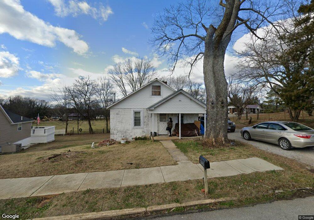
1205 E Main St Decherd, TN 37324
Estimated Value: $64,787 - $198,000
Studio
1
Bath
780
Sq Ft
$193/Sq Ft
Est. Value
About This Home
This home is located at 1205 E Main St, Decherd, TN 37324 and is currently estimated at $150,197, approximately $192 per square foot. 1205 E Main St is a home located in Franklin County with nearby schools including North Middle School, Franklin County High School, and School of the Good Shepherd.
Ownership History
Date
Name
Owned For
Owner Type
Purchase Details
Closed on
Jun 25, 2015
Sold by
Sanders Terry
Bought by
Sanders Joe William
Current Estimated Value
Purchase Details
Closed on
May 20, 2014
Sold by
Sanders Jerrill D
Bought by
Sanders Joe William
Purchase Details
Closed on
Sep 9, 2009
Sold by
Sanders Jerrill D
Bought by
Sanders Clarence W
Purchase Details
Closed on
Jan 9, 2002
Sold by
Sanders Clarence W
Bought by
Sanders Jerrill D
Purchase Details
Closed on
Jun 18, 1991
Bought by
Sanders Clarence W
Purchase Details
Closed on
Apr 12, 1979
Bought by
Sutton Mack and Sutton Phyllis A
Purchase Details
Closed on
May 24, 1978
Create a Home Valuation Report for This Property
The Home Valuation Report is an in-depth analysis detailing your home's value as well as a comparison with similar homes in the area
Purchase History
| Date | Buyer | Sale Price | Title Company |
|---|---|---|---|
| Sanders Joe William | -- | -- | |
| Sanders Joe William | -- | -- | |
| Sanders Clarence W | $8,950 | -- | |
| Sanders Jerrill D | $8,000 | -- | |
| Sanders Clarence W | $10,000 | -- | |
| Sutton Mack | -- | -- | |
| -- | -- | -- |
Source: Public Records
Tax History
| Year | Tax Paid | Tax Assessment Tax Assessment Total Assessment is a certain percentage of the fair market value that is determined by local assessors to be the total taxable value of land and additions on the property. | Land | Improvement |
|---|---|---|---|---|
| 2025 | -- | $10,400 | $1,475 | $8,925 |
| 2024 | -- | $10,400 | $1,475 | $8,925 |
| 2023 | $287 | $10,400 | $1,475 | $8,925 |
| 2022 | $271 | $10,400 | $1,475 | $8,925 |
| 2021 | $178 | $10,400 | $1,475 | $8,925 |
| 2020 | $255 | $6,350 | $1,100 | $5,250 |
| 2019 | $255 | $6,350 | $1,100 | $5,250 |
| 2018 | $242 | $6,350 | $1,100 | $5,250 |
| 2017 | $242 | $6,350 | $1,100 | $5,250 |
| 2016 | $183 | $4,800 | $1,100 | $3,700 |
| 2015 | $183 | $4,800 | $1,100 | $3,700 |
| 2014 | $183 | $4,802 | $0 | $0 |
Source: Public Records
Map
Nearby Homes
- 301 Bennett St
- 404 Horton St
- 107 N West St
- 207 Powell St
- 502 E Market St
- 206 Hotel St
- 202 W Main St
- 401 3rd Ave N
- 501 W Broad St
- 106 5th Ave N
- 599 Mimosa Dr
- 203 5th Ave N
- 26 Mimosa Dr
- 0 Blue Springs Road Tract 2 & 3 Unit RTC2943051
- 909 Cumberland St Unit 911
- 2846 Old Alto Hwy
- 21 Bartow St
- 41 Bartow St
- 44 Flint Dr
- 1105 Cumberland St Unit 1107
- 1203 E Main St
- 1727 Old Alto Hwy
- 1745 Old Alto Hwy
- 102 Scott St
- 108 Scott St
- 1105 E Main St
- 104 Scott St
- 1103 E Main St
- 1012 E Main St
- 1811 Old Alto Hwy
- 1011 E Main St
- 408 N Bratton St
- 406 N Bratton St
- 404 N Bratton St
- 402 N Bratton St
- 410 N Bratton St
- 101 College St
- 401 N Bratton St
- 201 Sisk St
- 106 Hillcrest St
Your Personal Tour Guide
Ask me questions while you tour the home.