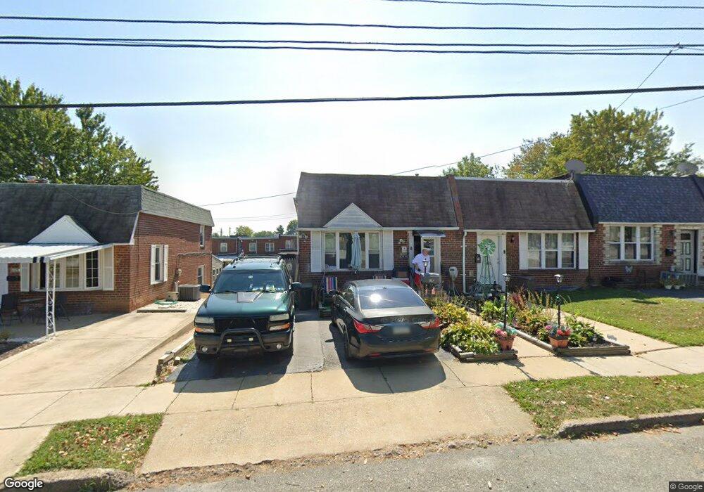
121 E Laughead Ave Marcus Hook, PA 19061
Estimated Value: $118,000 - $221,000
3
Beds
1
Bath
1,140
Sq Ft
$141/Sq Ft
Est. Value
About This Home
This home is located at 121 E Laughead Ave, Marcus Hook, PA 19061 and is currently estimated at $161,250, approximately $141 per square foot. 121 E Laughead Ave is a home located in Delaware County with nearby schools including Chichester Senior High School and Chester Charter School for the Arts.
Ownership History
Date
Name
Owned For
Owner Type
Purchase Details
Closed on
Oct 29, 2002
Sold by
Sciecinski Lucille A
Bought by
Hastings Deborah A
Current Estimated Value
Home Financials for this Owner
Home Financials are based on the most recent Mortgage that was taken out on this home.
Original Mortgage
$69,657
Outstanding Balance
$29,326
Interest Rate
6.09%
Mortgage Type
Purchase Money Mortgage
Estimated Equity
$131,924
Purchase Details
Closed on
Apr 6, 2000
Sold by
Sciecinski David J and Sciecinski Lucille A
Bought by
Sciecinski Lucille A
Create a Home Valuation Report for This Property
The Home Valuation Report is an in-depth analysis detailing your home's value as well as a comparison with similar homes in the area
Home Values in the Area
Average Home Value in this Area
Purchase History
| Date | Buyer | Sale Price | Title Company |
|---|---|---|---|
| Hastings Deborah A | $69,657 | -- | |
| Sciecinski Lucille A | -- | -- |
Source: Public Records
Mortgage History
| Date | Status | Borrower | Loan Amount |
|---|---|---|---|
| Open | Hastings Deborah A | $69,657 |
Source: Public Records
Tax History
| Year | Tax Paid | Tax Assessment Tax Assessment Total Assessment is a certain percentage of the fair market value that is determined by local assessors to be the total taxable value of land and additions on the property. | Land | Improvement |
|---|---|---|---|---|
| 2025 | $2,610 | $69,710 | $24,370 | $45,340 |
| 2024 | $2,610 | $69,710 | $24,370 | $45,340 |
| 2023 | $2,431 | $69,710 | $24,370 | $45,340 |
| 2022 | $2,289 | $69,710 | $24,370 | $45,340 |
| 2021 | $3,364 | $69,710 | $24,370 | $45,340 |
| 2020 | $3,189 | $63,260 | $22,800 | $40,460 |
| 2019 | $3,322 | $63,260 | $22,800 | $40,460 |
| 2018 | $3,331 | $63,260 | $0 | $0 |
| 2017 | $3,306 | $63,260 | $0 | $0 |
| 2016 | $347 | $63,260 | $0 | $0 |
| 2015 | $347 | $63,260 | $0 | $0 |
| 2014 | $347 | $63,260 | $0 | $0 |
Source: Public Records
Map
Nearby Homes
- 129 W Laughead Ave
- 1539 Summit St
- 1542 Summit St
- 119 Chadwick Ave
- 1616 Ward St
- 217 Harvey Ave
- 213 White Ave
- 9 Maise Dr
- 1410 Huddell Ave
- 332 White Ave
- 1335 Green St
- 2034 Locust St
- 4300 W 9th St Unit 101
- 810 Pleasant Ave
- 1118 Green St
- 2366 Thomas Ave
- 1012 Washington Ave
- 1021 Beeson Ave
- 12 Plaza St
- 4518 Post Rd
- 119 E Laughead Ave
- 125 E Laughead Ave
- 117 E Laughead Ave
- 127 E Laughead Ave
- 115 E Laughead Ave
- 129 E Laughead Ave
- 113 E Laughead Ave
- 131 E Laughead Ave
- 122 Fronefield Ave
- 111 E Laughead Ave
- 123 E Laughead Ave
- 124 Fronefield Ave
- 120 Fronefield Ave
- 126 Fronefield Ave
- 133 E Laughead Ave
- 118 Fronefield Ave
- 130 Fronefield Ave
- 116 Fronefield Ave
- 132 Fronefield Ave
- 135 Township Line Rd
Your Personal Tour Guide
Ask me questions while you tour the home.