Estimated Value: $268,000 - $460,000
3
Beds
2
Baths
938
Sq Ft
$405/Sq Ft
Est. Value
About This Home
This home is located at 121 Sullivan Rd, Stark, NH 03582 and is currently estimated at $380,178, approximately $405 per square foot. 121 Sullivan Rd is a home.
Ownership History
Date
Name
Owned For
Owner Type
Purchase Details
Closed on
Dec 31, 2018
Sold by
Fournier Shauna E
Bought by
Giroux Keith and Giroux Wendy
Current Estimated Value
Purchase Details
Closed on
Nov 30, 2018
Sold by
Clark Kirsten
Bought by
Fournier Shauna E
Purchase Details
Closed on
Dec 19, 2012
Sold by
Fournier Shauna E
Bought by
Clark Kirsten
Purchase Details
Closed on
Jan 28, 2002
Sold by
Mason Harley E
Bought by
Fournier Shauna E
Create a Home Valuation Report for This Property
The Home Valuation Report is an in-depth analysis detailing your home's value as well as a comparison with similar homes in the area
Purchase History
| Date | Buyer | Sale Price | Title Company |
|---|---|---|---|
| Giroux Keith | $38,000 | -- | |
| Giroux Keith | $38,000 | -- | |
| Fournier Shauna E | -- | -- | |
| Fournier Shauna E | -- | -- | |
| Clark Kirsten | -- | -- | |
| Clark Kirsten | -- | -- | |
| Fournier Shauna E | $22,500 | -- | |
| Fournier Shauna E | $22,500 | -- |
Source: Public Records
Tax History
| Year | Tax Paid | Tax Assessment Tax Assessment Total Assessment is a certain percentage of the fair market value that is determined by local assessors to be the total taxable value of land and additions on the property. | Land | Improvement |
|---|---|---|---|---|
| 2024 | $4,052 | $373,126 | $90,726 | $282,400 |
| 2023 | $3,014 | $145,454 | $34,154 | $111,300 |
| 2022 | $2,320 | $141,815 | $34,315 | $107,500 |
| 2021 | $1,656 | $83,157 | $34,257 | $48,900 |
| 2020 | $1,313 | $72,939 | $35,139 | $37,800 |
| 2019 | $514 | $28,418 | $28,418 | $0 |
| 2018 | $555 | $30,911 | $30,911 | $0 |
| 2017 | $561 | $30,820 | $30,820 | $0 |
| 2016 | $537 | $30,804 | $30,804 | $0 |
| 2015 | $544 | $31,955 | $30,755 | $1,200 |
| 2014 | $558 | $31,938 | $30,738 | $1,200 |
| 2013 | $520 | $29,749 | $29,749 | $0 |
Source: Public Records
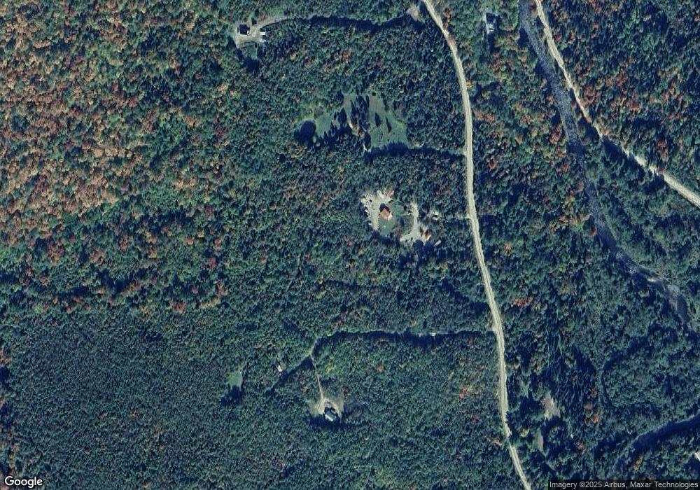
Map
Nearby Homes
- 25 Sullivan Rd
- 0 Mountain View Rd
- 0 Bell Hill Rd Unit 29.22
- 338 Percy Rd
- 388 Percy Rd
- 1116 W Milan Rd
- 48 Spring Rd
- 238 Northside Rd
- 10 Pontook Estates Rd
- 461 Hill Rd
- 00 W Milan Rd Unit 11
- 1420 E Side River Rd
- 390 Hill Rd
- 00 Boise Cascade Rd Unit 1
- 1245 Milan Rd
- 119 Hill Rd
- 460 Milan Hill Rd
- 0 Hawkins Rd Unit 63
- 11 Owens Rd
- 833 Milan Rd
Your Personal Tour Guide
Ask me questions while you tour the home.