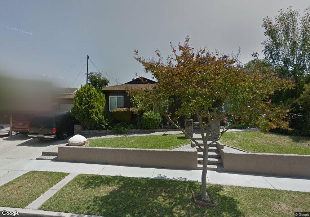
12112 Singleton Dr La Mirada, CA 90638
Estimated Value: $770,000 - $826,000
3
Beds
1
Bath
1,114
Sq Ft
$720/Sq Ft
Est. Value
About This Home
This home is located at 12112 Singleton Dr, La Mirada, CA 90638 and is currently estimated at $801,558, approximately $719 per square foot. 12112 Singleton Dr is a home located in Los Angeles County with nearby schools including La Pluma Elementary School, Reginald M. Benton Middle School, and La Mirada High School.
Ownership History
Date
Name
Owned For
Owner Type
Purchase Details
Closed on
Mar 14, 2000
Sold by
Beulah E Cameron Trust and Lou Ann
Bought by
Mccalope Paul
Current Estimated Value
Home Financials for this Owner
Home Financials are based on the most recent Mortgage that was taken out on this home.
Original Mortgage
$179,520
Interest Rate
8.25%
Mortgage Type
FHA
Purchase Details
Closed on
Jul 18, 1994
Sold by
Cameron Beulah E
Bought by
Cameron Beulah E and The Beulah E Cameron Living Trust
Create a Home Valuation Report for This Property
The Home Valuation Report is an in-depth analysis detailing your home's value as well as a comparison with similar homes in the area
Home Values in the Area
Average Home Value in this Area
Purchase History
| Date | Buyer | Sale Price | Title Company |
|---|---|---|---|
| Mccalope Paul | $181,000 | Fidelity National Title Co | |
| Cameron Beulah E | -- | -- |
Source: Public Records
Mortgage History
| Date | Status | Borrower | Loan Amount |
|---|---|---|---|
| Previous Owner | Mccalope Paul | $179,520 |
Source: Public Records
Tax History
| Year | Tax Paid | Tax Assessment Tax Assessment Total Assessment is a certain percentage of the fair market value that is determined by local assessors to be the total taxable value of land and additions on the property. | Land | Improvement |
|---|---|---|---|---|
| 2025 | $3,781 | $278,170 | $194,266 | $83,904 |
| 2024 | $3,781 | $272,716 | $190,457 | $82,259 |
| 2023 | $3,658 | $267,370 | $186,723 | $80,647 |
| 2022 | $3,593 | $262,128 | $183,062 | $79,066 |
| 2021 | $3,541 | $256,989 | $179,473 | $77,516 |
| 2019 | $3,440 | $249,368 | $174,150 | $75,218 |
| 2018 | $3,255 | $244,480 | $170,736 | $73,744 |
| 2016 | $3,116 | $234,989 | $164,107 | $70,882 |
| 2015 | $3,088 | $231,460 | $161,642 | $69,818 |
| 2014 | $2,885 | $226,927 | $158,476 | $68,451 |
Source: Public Records
Map
Nearby Homes
- 14740 Fairacres Dr
- 11744 Hollyview Dr
- 14753 Keese Dr
- 11101 E Imperial Hwy Unit 69
- 11704 Thermal Dr
- 11906 Bluefield Ave
- 11502 Double Eagle Dr
- 14829 Gagely Dr
- 11509 Double Eagle Dr
- 14428 Chere Dr
- 11701 Toerge Dr
- 15216 Mccann Place
- 12628 Edderton Ave
- 14855 Valeda Dr
- 14508 Sabine Dr
- 12205 Colima Rd
- 14326 Tedford Dr
- 13233 Oakwood Ln
- 14568 Reis St
- 14356 Coolbank Dr
- 14811 Spangler Place
- 12104 Singleton Dr
- 14810 Steprock Dr
- 14815 Spangler Place
- 12128 Singleton Dr
- 12111 Singleton Dr
- 12117 Singleton Dr
- 14816 Steprock Dr
- 12103 Singleton Dr
- 14810 Spangler Place
- 12125 Singleton Dr
- 14819 Spangler Place
- 12041 Singleton Dr
- 12111 Tanfield Dr
- 14814 Spangler Place
- 12131 Singleton Dr
- 12105 Tanfield Dr
- 12117 Tanfield Dr
- 12028 Singleton Dr
- 14811 Steprock Dr
Your Personal Tour Guide
Ask me questions while you tour the home.