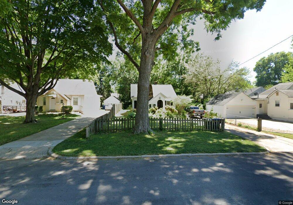
1212 E Stanford St Springfield, MO 65804
University Heights NeighborhoodEstimated Value: $148,084 - $185,000
2
Beds
1
Bath
894
Sq Ft
$189/Sq Ft
Est. Value
About This Home
This home is located at 1212 E Stanford St, Springfield, MO 65804 and is currently estimated at $169,021, approximately $189 per square foot. 1212 E Stanford St is a home located in Greene County with nearby schools including Delaware Elementary School, Jarrett Middle, and Parkview High School.
Ownership History
Date
Name
Owned For
Owner Type
Purchase Details
Closed on
May 26, 2017
Sold by
Buckner Rose Laminack
Bought by
Rueben Cogburn Properties Llc
Current Estimated Value
Home Financials for this Owner
Home Financials are based on the most recent Mortgage that was taken out on this home.
Original Mortgage
$187,000
Outstanding Balance
$155,332
Interest Rate
3.97%
Mortgage Type
Commercial
Estimated Equity
$13,689
Create a Home Valuation Report for This Property
The Home Valuation Report is an in-depth analysis detailing your home's value as well as a comparison with similar homes in the area
Home Values in the Area
Average Home Value in this Area
Purchase History
| Date | Buyer | Sale Price | Title Company |
|---|---|---|---|
| Rueben Cogburn Properties Llc | -- | None Available |
Source: Public Records
Mortgage History
| Date | Status | Borrower | Loan Amount |
|---|---|---|---|
| Open | Rueben Cogburn Properties Llc | $187,000 |
Source: Public Records
Tax History
| Year | Tax Paid | Tax Assessment Tax Assessment Total Assessment is a certain percentage of the fair market value that is determined by local assessors to be the total taxable value of land and additions on the property. | Land | Improvement |
|---|---|---|---|---|
| 2025 | $861 | $17,280 | $5,420 | $11,860 |
| 2024 | $832 | $15,500 | $4,520 | $10,980 |
| 2023 | $827 | $15,500 | $4,520 | $10,980 |
| 2022 | $774 | $14,170 | $4,520 | $9,650 |
| 2021 | $774 | $14,170 | $4,520 | $9,650 |
| 2020 | $741 | $12,980 | $4,520 | $8,460 |
| 2019 | $720 | $12,980 | $4,520 | $8,460 |
| 2018 | $583 | $10,510 | $4,520 | $5,990 |
| 2017 | $577 | $9,800 | $4,520 | $5,280 |
| 2016 | $537 | $9,800 | $4,520 | $5,280 |
| 2015 | $532 | $9,800 | $4,520 | $5,280 |
| 2014 | $574 | $10,490 | $4,520 | $5,970 |
Source: Public Records
Map
Nearby Homes
- 1220 E University St
- 1558 S National Ave
- 1057 E Stanford St
- 1100 E University St
- 1547 S Kickapoo Ave
- 1036 E Linwood Terrace
- 1428 E Portland St
- 1439 E Stanford St
- 1424 S Rogers Ave
- 1847 S Collinson Ave
- 820 E Stanford St
- 1335 E Cozy St
- 1436 S Pickwick Ave
- 928 E Brookside Dr
- 1040 E Cherokee St
- 1339 S Fremont Ave
- 1345 E Cozy St
- 1615 S Delaware Ave
- 2048 S Florence Ave
- 1706 S Delaware Ave
- 1214 E Stanford St
- 1706 S National Ave
- 1700 S National Ave
- 1712 S National Ave
- 1220 E Stanford St
- 1224 E Stanford St
- 1634 S National Ave
- 1722 S National Ave
- 1230 E Stanford St
- 1211 E Stanford St
- 1217 E Stanford St
- 1221 E Stanford St
- 1221 E University St
- 1234 E Stanford St
- 1225 E Stanford St
- 1211 E University St
- 1215 E University St
- 1227 E University St
- 1205 E University St
- 1620 S National Ave
Your Personal Tour Guide
Ask me questions while you tour the home.