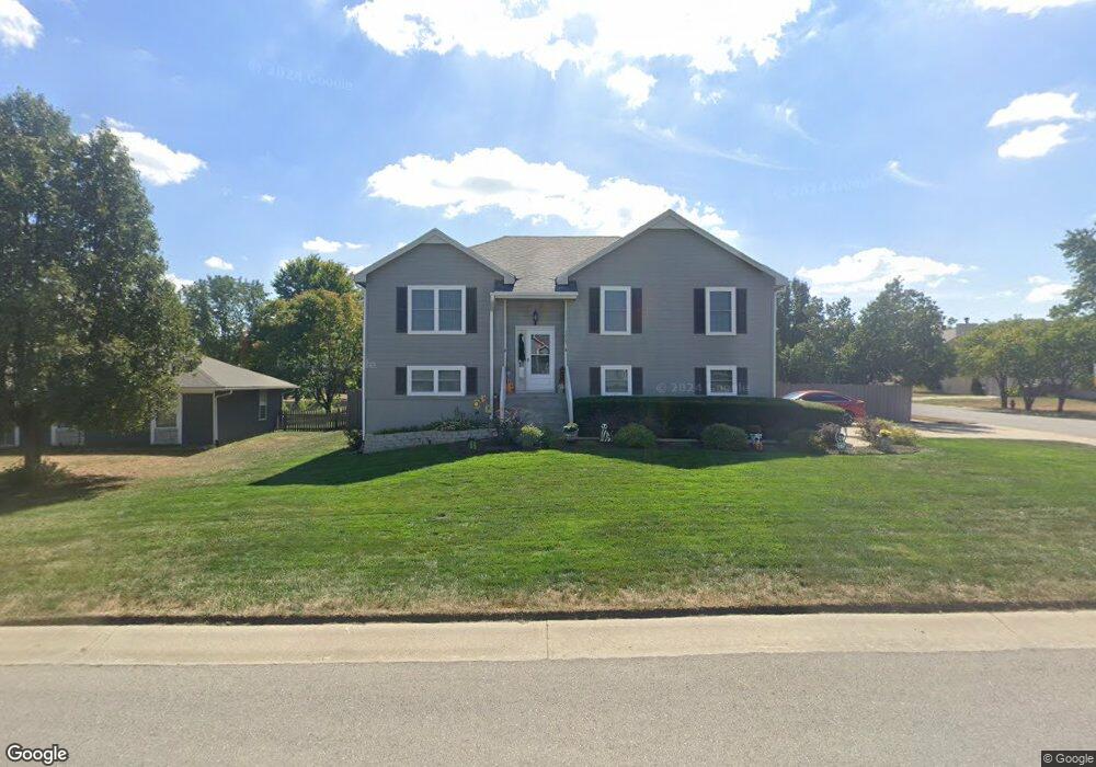
1215 SW Dean Dr Grain Valley, MO 64029
Estimated Value: $296,000 - $334,000
3
Beds
2
Baths
1,407
Sq Ft
$223/Sq Ft
Est. Value
About This Home
This home is located at 1215 SW Dean Dr, Grain Valley, MO 64029 and is currently estimated at $313,780, approximately $223 per square foot. 1215 SW Dean Dr is a home located in Jackson County with nearby schools including Grain Valley High School.
Ownership History
Date
Name
Owned For
Owner Type
Purchase Details
Closed on
Dec 29, 2021
Sold by
Andersen Blake
Bought by
Hankins Jeremy L and Hankins Keri L
Current Estimated Value
Home Financials for this Owner
Home Financials are based on the most recent Mortgage that was taken out on this home.
Original Mortgage
$236,300
Outstanding Balance
$217,334
Interest Rate
3.11%
Mortgage Type
New Conventional
Estimated Equity
$96,446
Purchase Details
Closed on
Apr 15, 2019
Sold by
Hill Lisa Marie
Bought by
Andersen Blake
Purchase Details
Closed on
Aug 26, 1997
Sold by
Joseph Lane Company Inc
Bought by
Estep Norman A and Estep Marylan D
Create a Home Valuation Report for This Property
The Home Valuation Report is an in-depth analysis detailing your home's value as well as a comparison with similar homes in the area
Home Values in the Area
Average Home Value in this Area
Purchase History
| Date | Buyer | Sale Price | Title Company |
|---|---|---|---|
| Hankins Jeremy L | -- | Stewart Title Company | |
| Andersen Blake | -- | Accommodation | |
| Estep Norman A | -- | Stewart Title |
Source: Public Records
Mortgage History
| Date | Status | Borrower | Loan Amount |
|---|---|---|---|
| Open | Hankins Jeremy L | $236,300 |
Source: Public Records
Tax History Compared to Growth
Tax History
| Year | Tax Paid | Tax Assessment Tax Assessment Total Assessment is a certain percentage of the fair market value that is determined by local assessors to be the total taxable value of land and additions on the property. | Land | Improvement |
|---|---|---|---|---|
| 2025 | $4,366 | $44,225 | $8,081 | $36,144 |
| 2024 | $4,203 | $53,012 | $5,552 | $47,460 |
| 2023 | $4,203 | $53,012 | $6,528 | $46,484 |
| 2022 | $3,031 | $33,440 | $6,299 | $27,141 |
| 2021 | $2,960 | $33,440 | $6,299 | $27,141 |
| 2020 | $2,992 | $33,335 | $6,299 | $27,036 |
| 2019 | $2,931 | $33,335 | $6,299 | $27,036 |
| 2018 | $2,694 | $28,629 | $3,615 | $25,014 |
| 2017 | $2,694 | $28,629 | $3,615 | $25,014 |
| 2016 | $2,616 | $27,810 | $3,532 | $24,278 |
| 2014 | $2,584 | $27,265 | $3,463 | $23,802 |
Source: Public Records
Map
Nearby Homes
- 509 SW Joseph Ct
- 401 S Minter Rd
- 1418 SW Blue Branch Dr
- 1024 Christie Ln
- 1215 SW Lone Star Ct
- 719 S Minter Rd
- 1214 SW Windcrest Ct
- 636 SW Lakeview Dr
- 1219 SW Windcrest Ct
- 1309 SW Graystone Cir
- 1402 NW Broadway Throughway
- 200 Cross Creek Ln
- 1203 SW Lakeview Dr
- 209 SW Cross Creek Dr
- 714 SW Brome Dr
- 29800 E 65th St
- 1200 SW Foxtail Dr
- 6205 Chiles Rd
- 207 Pebblebrook St
- 725 SW Tisha Ln
- 403 SW Joseph Ln
- 1211 SW Dean Dr
- 1224 SW Duster Ct
- 407 SW Joseph Ln
- 1303 SW Dean Dr
- 404 SW Joseph Ln
- 1214 SW Dean Dr
- 1222 SW Duster Ct
- 1300 SW Dean Dr
- 1225 SW Duster Ct
- 1209 SW Dean Dr
- 1212 SW Dean Dr
- 408 SW Joseph Ln
- 1302 SW Dean Dr
- 1210 SW Dean Dr
- 0 Joseph Ln Unit 1637740
- 1223 SW Duster Ct
- 1207 SW Dean Dr
- 412 SW Joseph Ln
- 1305 SW Dean Dr