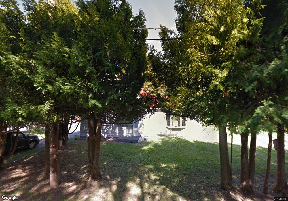
1215 W Victoria St Duluth, MN 55811
Kenwood NeighborhoodEstimated Value: $329,000 - $516,429
3
Beds
2
Baths
1,714
Sq Ft
$242/Sq Ft
Est. Value
About This Home
This home is located at 1215 W Victoria St, Duluth, MN 55811 and is currently estimated at $414,357, approximately $241 per square foot. 1215 W Victoria St is a home located in St. Louis County with nearby schools including Lowell Elementary School, Ordean East Middle School, and East High School.
Ownership History
Date
Name
Owned For
Owner Type
Purchase Details
Closed on
Jul 30, 2008
Sold by
Orourke Janis D and Orourke Robert A
Bought by
Petersen Karen and Orourke Thomas
Current Estimated Value
Home Financials for this Owner
Home Financials are based on the most recent Mortgage that was taken out on this home.
Original Mortgage
$136,000
Outstanding Balance
$89,523
Interest Rate
6.39%
Mortgage Type
Purchase Money Mortgage
Estimated Equity
$324,834
Purchase Details
Closed on
Nov 20, 2006
Sold by
Orourke Janis D and Orourke Robert A
Bought by
Orourke Janis D
Create a Home Valuation Report for This Property
The Home Valuation Report is an in-depth analysis detailing your home's value as well as a comparison with similar homes in the area
Home Values in the Area
Average Home Value in this Area
Purchase History
| Date | Buyer | Sale Price | Title Company |
|---|---|---|---|
| Petersen Karen | $170,000 | Rels Title | |
| Orourke Janis D | -- | None Available |
Source: Public Records
Mortgage History
| Date | Status | Borrower | Loan Amount |
|---|---|---|---|
| Open | Petersen Karen | $136,000 |
Source: Public Records
Tax History Compared to Growth
Tax History
| Year | Tax Paid | Tax Assessment Tax Assessment Total Assessment is a certain percentage of the fair market value that is determined by local assessors to be the total taxable value of land and additions on the property. | Land | Improvement |
|---|---|---|---|---|
| 2023 | $5,384 | $407,500 | $142,600 | $264,900 |
| 2022 | $5,756 | $378,900 | $133,200 | $245,700 |
| 2021 | $4,978 | $314,300 | $110,900 | $203,400 |
| 2020 | $4,730 | $315,800 | $110,900 | $204,900 |
| 2019 | $4,314 | $294,000 | $110,800 | $183,200 |
| 2018 | $3,960 | $272,400 | $110,800 | $161,600 |
| 2017 | $3,510 | $268,200 | $110,800 | $157,400 |
| 2016 | $3,426 | $1,000 | $1,000 | $0 |
| 2015 | $2,395 | $163,500 | $71,700 | $91,800 |
| 2014 | $2,395 | $153,000 | $70,800 | $82,200 |
Source: Public Records
Map
Nearby Homes
- xxx Catherine St
- 1229 W Arrowhead Rd
- 1337 Mississippi Ave
- 48 E Buffalo St
- 110 W Toledo St
- 1039 Brainerd Ave
- 1919 Middle Ln
- 2xxx Harvard Ave
- 2234 Dunedin Ave
- 1915 Garden St
- 1950 Middle Ln
- 3213 Ewing Ave
- 341 Madison Ave Unit 12B
- 928 N 19th Ave E
- 3218 Ewing Ave
- 1915 E 9th St
- Lot 13 Hartley Hills Dr
- 117 Parkland Ave
- 802 Hamilton Dr Unit 34D
- 1721 E 8th St
- xxx W Victoria St
- 1221 Maryland St
- 1231 Maryland St
- 1211 Maryland St
- 1126 W Victoria St
- 1201 Maryland St
- 1201 Maryland St
- 1125 Maryland St
- 1125 W Victoria St
- 1214 Maryland St
- 1200 1200 Maryland St
- 1200 1200 Maryland-Street-
- 1732 Dodge Ave
- 1112 Maryland St
- 1200 Maryland St
- 1731 Dodge Ave
- 1738 Warren Ave
- 1724 Dodge Ave
- 1724 1724 Dodge Ave
- 1118 Maryland St