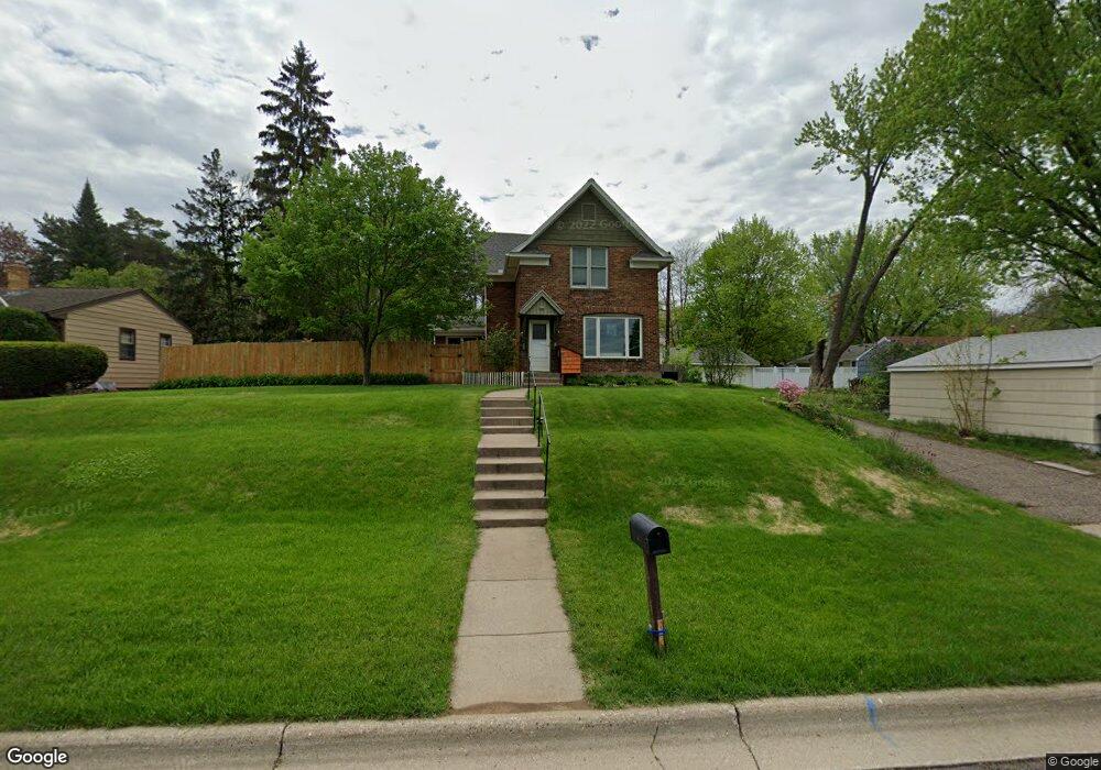
122 Orme St W Saint Paul, MN 55118
Estimated Value: $384,546 - $416,000
3
Beds
2
Baths
2,102
Sq Ft
$188/Sq Ft
Est. Value
About This Home
This home is located at 122 Orme St W, Saint Paul, MN 55118 and is currently estimated at $395,887, approximately $188 per square foot. 122 Orme St W is a home located in Dakota County with nearby schools including Moreland Arts & Health Sciences Magnet School, Heritage E-STEM Magnet School, and Two Rivers High School.
Ownership History
Date
Name
Owned For
Owner Type
Purchase Details
Closed on
May 22, 2017
Sold by
Schmid Douglas A and Schmid Mary E
Bought by
Schindler Timothy and Schindler Kristin M
Current Estimated Value
Home Financials for this Owner
Home Financials are based on the most recent Mortgage that was taken out on this home.
Original Mortgage
$246,420
Interest Rate
4.02%
Mortgage Type
New Conventional
Purchase Details
Closed on
Oct 9, 2013
Sold by
Schmid Douglas A and Schmid Mary E
Bought by
Schmid Douglas A and Schmid Mary E
Create a Home Valuation Report for This Property
The Home Valuation Report is an in-depth analysis detailing your home's value as well as a comparison with similar homes in the area
Home Values in the Area
Average Home Value in this Area
Purchase History
| Date | Buyer | Sale Price | Title Company |
|---|---|---|---|
| Schindler Timothy | $273,800 | Burnet Title | |
| Schmid Douglas A | -- | None Available |
Source: Public Records
Mortgage History
| Date | Status | Borrower | Loan Amount |
|---|---|---|---|
| Previous Owner | Schindler Timothy | $246,420 |
Source: Public Records
Tax History Compared to Growth
Tax History
| Year | Tax Paid | Tax Assessment Tax Assessment Total Assessment is a certain percentage of the fair market value that is determined by local assessors to be the total taxable value of land and additions on the property. | Land | Improvement |
|---|---|---|---|---|
| 2024 | $4,780 | $371,400 | $87,300 | $284,100 |
| 2023 | $4,780 | $387,700 | $92,500 | $295,200 |
| 2022 | $4,166 | $357,200 | $92,200 | $265,000 |
| 2021 | $4,052 | $323,000 | $80,100 | $242,900 |
| 2020 | $4,074 | $312,600 | $76,300 | $236,300 |
| 2019 | $3,996 | $305,700 | $78,700 | $227,000 |
| 2018 | $3,496 | $287,000 | $73,600 | $213,400 |
| 2017 | $3,289 | $264,500 | $70,100 | $194,400 |
| 2016 | $3,145 | $241,000 | $63,700 | $177,300 |
| 2015 | $3,042 | $215,531 | $58,088 | $157,443 |
| 2014 | -- | $201,797 | $53,371 | $148,426 |
| 2013 | -- | $186,428 | $48,606 | $137,822 |
Source: Public Records
Map
Nearby Homes
- 158 Southwind Ln
- 1277 Hall Ave
- 1084 Hall Ave
- 1057 Winslow Ave
- 1076 Humboldt Ave
- 100 Imperial Dr W Unit 204
- 1016 Bidwell St
- 63 Langer Cir
- 1062 Ohio St
- 69 Amelia Ave
- 69 Langer Cir
- 950 Bellows St
- 1450 Bidwell St Unit 110
- 150 Westchester Dr
- 1517 Timberwood Ln
- 1251 Macarthur Ave
- 167 Butler Ave E
- 908 Bellows St
- 280 Edith Dr
- 191 Altman Ct
- 114 Orme St W
- 1192 Bidwell St
- 1198 Bidwell St
- 1188 Bidwell St
- 108 Orme St W
- 1188 Bidwell St
- 1206 Bidwell St
- 1210 Bidwell St
- 1216 Bidwell St
- 1210 1210 Bidwell St
- 1195 Bidwell St
- 1195 Bidwell St
- 117 Moreland Ave W
- 1185 Bidwell St
- 1216 1216 Bidwell St
- 1220 Bidwell St
- 1201 Bidwell St
- 1207 Bidwell St
- 1224 Bidwell St
- 1177 Bidwell St