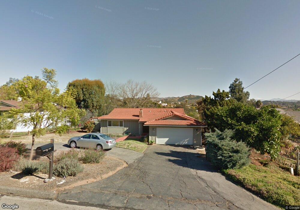
1220 Destree Rd Escondido, CA 92027
East Valley NeighborhoodEstimated Value: $763,000 - $841,000
3
Beds
2
Baths
1,620
Sq Ft
$497/Sq Ft
Est. Value
About This Home
This home is located at 1220 Destree Rd, Escondido, CA 92027 and is currently estimated at $805,105, approximately $496 per square foot. 1220 Destree Rd is a home located in San Diego County with nearby schools including L. R. Green Elementary School, Bear Valley Middle School, and Orange Glen High School.
Ownership History
Date
Name
Owned For
Owner Type
Purchase Details
Closed on
Feb 2, 2024
Sold by
Pfoser James L
Bought by
James And Deborah Pfoser Trust and Pfoser
Current Estimated Value
Purchase Details
Closed on
Jun 15, 1999
Sold by
Barr Allen M and Barr Catherine L
Bought by
Pfoser James L
Home Financials for this Owner
Home Financials are based on the most recent Mortgage that was taken out on this home.
Original Mortgage
$165,000
Interest Rate
7.05%
Purchase Details
Closed on
Feb 13, 1987
Create a Home Valuation Report for This Property
The Home Valuation Report is an in-depth analysis detailing your home's value as well as a comparison with similar homes in the area
Home Values in the Area
Average Home Value in this Area
Purchase History
| Date | Buyer | Sale Price | Title Company |
|---|---|---|---|
| James And Deborah Pfoser Trust | -- | None Listed On Document | |
| Pfoser James L | $224,000 | Fidelity National Title Co | |
| -- | $142,000 | -- |
Source: Public Records
Mortgage History
| Date | Status | Borrower | Loan Amount |
|---|---|---|---|
| Previous Owner | Pfoser James L | $165,000 |
Source: Public Records
Tax History
| Year | Tax Paid | Tax Assessment Tax Assessment Total Assessment is a certain percentage of the fair market value that is determined by local assessors to be the total taxable value of land and additions on the property. | Land | Improvement |
|---|---|---|---|---|
| 2025 | $3,895 | $351,144 | $104,517 | $246,627 |
| 2024 | $3,895 | $344,260 | $102,468 | $241,792 |
| 2023 | $3,802 | $337,510 | $100,459 | $237,051 |
| 2022 | $3,754 | $330,893 | $98,490 | $232,403 |
| 2021 | $3,690 | $324,406 | $96,559 | $227,847 |
| 2020 | $3,661 | $321,080 | $95,569 | $225,511 |
| 2019 | $3,571 | $314,786 | $93,696 | $221,090 |
| 2018 | $3,467 | $308,614 | $91,859 | $216,755 |
| 2017 | $3,406 | $302,563 | $90,058 | $212,505 |
| 2016 | $3,336 | $296,632 | $88,293 | $208,339 |
| 2015 | $3,303 | $292,177 | $86,967 | $205,210 |
| 2014 | $3,151 | $286,455 | $85,264 | $201,191 |
Source: Public Records
Map
Nearby Homes
- 1237 Destree Rd
- 1322 Loma de Paz
- 816 Birch Ave
- 1080 Landavo Rancho Rd
- 609 Mustang Glen
- 1643 Oak Hill Dr
- 505 San Pasqual Valley Rd Unit 186
- 944 Hillhaven Rd
- 1380 Oak Hill Dr Unit 42
- 1371 Hinrichs Way
- 495 San Pasqual Valley Rd Unit 142
- 495 San Pasqual Valley Rd Unit 144
- 1329 Park Hill Ln
- 1332 Palomar Terrace
- 1736 San Pasqual Valley Rd
- 1116 Circle Dr
- 1257 E Grand Ave Unit D
- 619 S Midway Dr
- 1811 E Grand Ave Unit 149
- 1811 E Grand Ave Unit 178
- 1212 Destree Rd
- 1230 Destree Rd
- 1204 Destree Rd
- 1255 Canter Rd
- 1316 Birch Ave
- 1229 Canter Rd
- 1136 Destree Rd
- 1263 Canter Rd
- 1211 Canter Rd
- 1209 Destree Rd
- 1137 Destree Rd
- 1237 Destree Rd #T
- 1237 Destree Rd #T Unit 3 Block
- 1237 Destree Rd Unit T
- 1207 Canter Rd
- 1128 Destree Rd
- 1129 Destree Rd
- 1244 Canter Rd
- 1250 Canter Rd
- 1338 Birch Ave
Your Personal Tour Guide
Ask me questions while you tour the home.