Estimated Value: $1,052,000 - $1,223,903
1
Bed
1
Bath
700
Sq Ft
$1,624/Sq Ft
Est. Value
About This Home
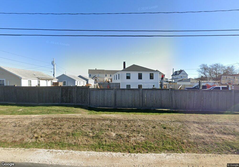
This home is located at 1220 Ocean Blvd Unit 2, Rye, NH 03870 and is currently estimated at $1,136,634, approximately $1,623 per square foot. 1220 Ocean Blvd Unit 2 is a home located in Rockingham County with nearby schools including Rye Elementary School and Rye Junior High School.
Ownership History
Date
Name
Owned For
Owner Type
Purchase Details
Closed on
Aug 9, 2017
Sold by
Kona Properties Of Rye
Bought by
Arnold Delvin H
Current Estimated Value
Purchase Details
Closed on
Jun 21, 2005
Sold by
Donohoe Patricia
Bought by
Kona Props Of Rye Llc
Home Financials for this Owner
Home Financials are based on the most recent Mortgage that was taken out on this home.
Original Mortgage
$500,000
Interest Rate
5.78%
Mortgage Type
Unknown
Create a Home Valuation Report for This Property
The Home Valuation Report is an in-depth analysis detailing your home's value as well as a comparison with similar homes in the area
Home Values in the Area
Average Home Value in this Area
Purchase History
| Date | Buyer | Sale Price | Title Company |
|---|---|---|---|
| Arnold Delvin H | -- | -- | |
| Arnold Delvin H | -- | -- | |
| Kona Props Of Rye Llc | $800,000 | -- | |
| Kona Props Of Rye Llc | $800,000 | -- |
Source: Public Records
Mortgage History
| Date | Status | Borrower | Loan Amount |
|---|---|---|---|
| Open | Arnold Delvin H | $630,000 | |
| Previous Owner | Arnold Devlin H | $78,000 | |
| Previous Owner | Kona Props Of Rye Llc | $500,000 |
Source: Public Records
Tax History Compared to Growth
Tax History
| Year | Tax Paid | Tax Assessment Tax Assessment Total Assessment is a certain percentage of the fair market value that is determined by local assessors to be the total taxable value of land and additions on the property. | Land | Improvement |
|---|---|---|---|---|
| 2024 | $10,099 | $1,166,200 | $0 | $1,166,200 |
| 2023 | $9,365 | $1,166,200 | $0 | $1,166,200 |
| 2022 | $10,753 | $1,540,600 | $0 | $1,540,600 |
| 2021 | $8,491 | $830,800 | $0 | $830,800 |
| 2020 | $8,939 | $830,800 | $0 | $830,800 |
| 2019 | $8,491 | $830,800 | $0 | $830,800 |
| 2018 | $8,838 | $830,800 | $0 | $830,800 |
| 2017 | $8,399 | $830,800 | $0 | $830,800 |
| 2016 | $8,207 | $768,400 | $0 | $768,400 |
| 2015 | $11,260 | $1,033,000 | $626,400 | $406,600 |
| 2013 | $10,940 | $997,300 | $657,000 | $340,300 |
Source: Public Records
Map
Nearby Homes
- 1215 Ocean Blvd Unit 2
- 1215 Ocean Blvd Unit 3
- 1215 Ocean Blvd Unit 6
- 1215 Ocean Blvd Unit 4
- 1193 Ocean Blvd
- 51 Wallis Rd
- 20 Fairhill Ave
- 21 Triton Dr
- 105 Parsons Rd
- 1191 - 1193 Ocean Blvd
- 137 Clark Rd
- 480 Sagamore Rd
- 389 Sagamore Rd
- 1643 Ocean Blvd
- 267 Pioneer Rd
- 665 Wallis Rd
- 665 Wallis Rd Unit 1
- 665 Wallis Rd Unit 2
- 14 Sagamore Rd Unit 3
- 4 Sagamore Rd
- 1220 Ocean Blvd
- 1214 Ocean Blvd
- 1214 Ocean Blvd Unit 3
- 1218 Ocean Blvd
- 1216 Ocean Blvd Unit 1216
- 1218 Ocean Blvd Unit 1218
- 1226 Ocean Blvd
- 1212 Ocean Blvd
- 1228 Ocean Blvd
- 1230 Ocean Blvd
- 1234 Ocean Blvd
- 1205 Ocean Blvd
- 1207 Ocean Blvd
- 1196 Ocean Blvd
- 1196 Ocean Blvd Unit 2
- 1232 Ocean Blvd
- 1200 Ocean Blvd
- 1210 Ocean Blvd
- 1210 Ocean Blvd Unit 3
- 1236 Ocean Blvd