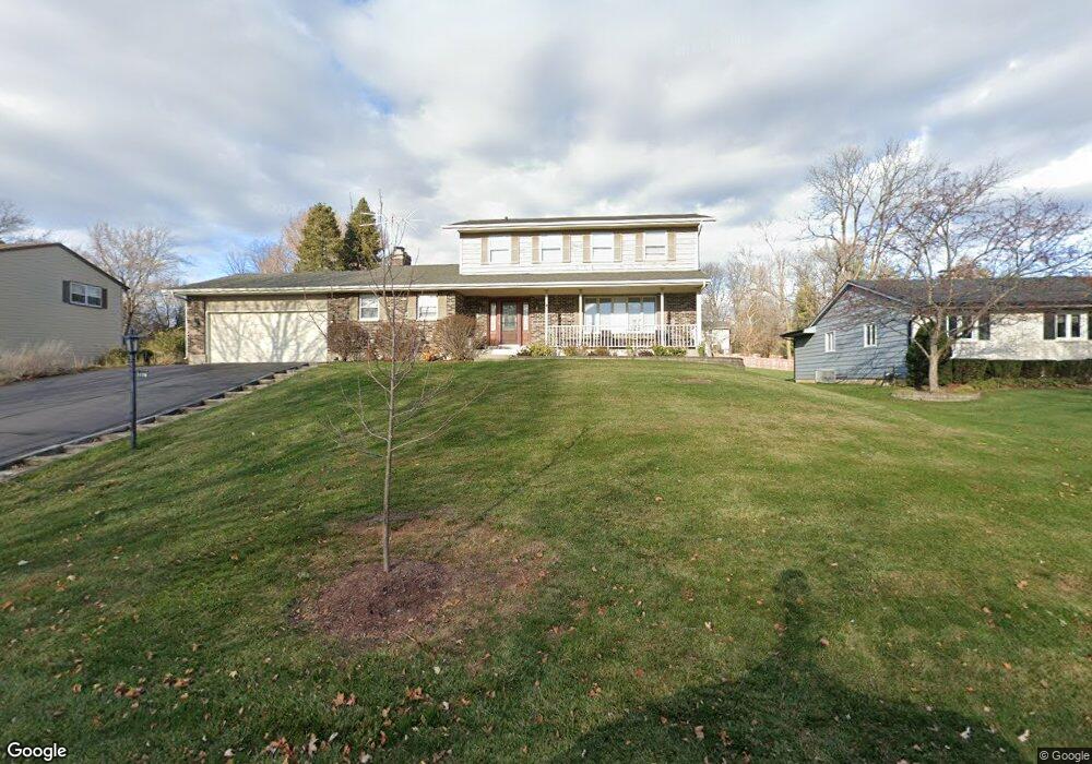
1220 Zange Dr Algonquin, IL 60102
Estimated Value: $394,916 - $518,000
3
Beds
3
Baths
2,332
Sq Ft
$195/Sq Ft
Est. Value
About This Home
This home is located at 1220 Zange Dr, Algonquin, IL 60102 and is currently estimated at $454,479, approximately $194 per square foot. 1220 Zange Dr is a home located in McHenry County with nearby schools including Westfield Community School, Kenneth E Neubert Elementary School, and United Junior High School.
Ownership History
Date
Name
Owned For
Owner Type
Purchase Details
Closed on
Jun 4, 2015
Sold by
Guidarini Lisa C
Bought by
Guidarini Paul S
Current Estimated Value
Purchase Details
Closed on
Jul 29, 1994
Sold by
Wasko Kenneth and Wasko Martha Diana
Bought by
Guidarini Paul S and Guidarini Lisa C
Home Financials for this Owner
Home Financials are based on the most recent Mortgage that was taken out on this home.
Original Mortgage
$115,000
Interest Rate
8.41%
Purchase Details
Closed on
Feb 1, 1994
Sold by
Wright Norman and Serpico Theresa
Bought by
Wasko Kenneth and Wasko Martha Diana
Home Financials for this Owner
Home Financials are based on the most recent Mortgage that was taken out on this home.
Original Mortgage
$144,000
Interest Rate
7.05%
Create a Home Valuation Report for This Property
The Home Valuation Report is an in-depth analysis detailing your home's value as well as a comparison with similar homes in the area
Home Values in the Area
Average Home Value in this Area
Purchase History
| Date | Buyer | Sale Price | Title Company |
|---|---|---|---|
| Guidarini Paul S | -- | Attorney | |
| Guidarini Paul S | $183,000 | -- | |
| Wasko Kenneth | $180,000 | -- |
Source: Public Records
Mortgage History
| Date | Status | Borrower | Loan Amount |
|---|---|---|---|
| Closed | Guidarini Paul S | $115,000 | |
| Previous Owner | Wasko Kenneth | $144,000 |
Source: Public Records
Tax History Compared to Growth
Tax History
| Year | Tax Paid | Tax Assessment Tax Assessment Total Assessment is a certain percentage of the fair market value that is determined by local assessors to be the total taxable value of land and additions on the property. | Land | Improvement |
|---|---|---|---|---|
| 2024 | $8,993 | $122,955 | $13,132 | $109,823 |
| 2023 | $8,536 | $109,968 | $11,745 | $98,223 |
| 2022 | $8,068 | $100,081 | $33,152 | $66,929 |
| 2021 | $7,741 | $93,237 | $30,885 | $62,352 |
| 2020 | $7,537 | $89,937 | $29,792 | $60,145 |
| 2019 | $7,353 | $86,081 | $28,515 | $57,566 |
| 2018 | $7,600 | $85,734 | $26,342 | $59,392 |
| 2017 | $7,445 | $80,767 | $24,816 | $55,951 |
| 2016 | $7,335 | $75,752 | $23,275 | $52,477 |
| 2013 | -- | $59,711 | $21,712 | $37,999 |
Source: Public Records
Map
Nearby Homes
- 1 N Hubbard St
- SWC Talaga and Algonquin Rd
- 1235 Fairmont Ct
- 700 Fairfield Ln
- 721 Brentwood Ct
- 1820 Crofton Dr
- 710 Braewood Dr
- 741 Regal Ln
- 661 Majestic Dr
- 266 Grandview Ct
- 710 Sprucetree Ln
- 102 Center St
- 16 Brian Ct
- 909 Roger St
- 135 Arquilla Dr
- 305 Buckingham Dr
- 1971 Peach Tree Ln
- 2161 Burnham Ct
- 2043 Peach Tree Ln Unit 4122
- 2060 Dorchester Ave
- 1210 Zange Dr
- 1230 Zange Dr
- 1200 Zange Dr
- 1231 Lexington Dr
- 1221 Lexington Dr
- 1240 Zange Dr
- 1241 Lexington Dr
- 1215 Zange Dr
- 1211 Lexington Dr
- 1235 Zange Dr
- 1225 Zange Dr
- 1251 Lexington Dr
- 1300 Zange Dr
- 1245 Zange Dr
- 1205 Zange Dr
- 1301 Lexington Dr
- 1135 Zange Dr
- 1305 Zange Dr
- 1310 Zange Dr
- 1201 Lexington Dr