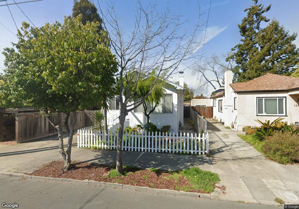
1231 Blake St Berkeley, CA 94702
West Berkeley NeighborhoodEstimated Value: $1,154,319 - $1,393,000
3
Beds
2
Baths
1,254
Sq Ft
$1,036/Sq Ft
Est. Value
About This Home
This home is located at 1231 Blake St, Berkeley, CA 94702 and is currently estimated at $1,299,080, approximately $1,035 per square foot. 1231 Blake St is a home located in Alameda County with nearby schools including Oxford Elementary School, Washington Elementary School, and Malcolm X Elementary School.
Ownership History
Date
Name
Owned For
Owner Type
Purchase Details
Closed on
Mar 28, 2018
Sold by
Maloney Ronald D
Bought by
Maloney Ronald D and Ronald D Maloney Revocable Tru
Current Estimated Value
Purchase Details
Closed on
Feb 6, 2015
Sold by
Maloney Ronald D and Maloney Mary B
Bought by
Maloney Ronald D
Purchase Details
Closed on
Aug 11, 2014
Sold by
Maloney Mary B
Bought by
Maloney Ronald D
Purchase Details
Closed on
Nov 1, 2007
Sold by
Maloney Ronald D and Maloney Mary B
Bought by
Maloney Ronald D and Maloney Mary B
Purchase Details
Closed on
Sep 21, 2005
Sold by
Maloney Ronald D and Maloney Mary B
Bought by
Maloney Ronald D and Maloney Mary B
Purchase Details
Closed on
Feb 27, 2004
Sold by
Maloney Mary B
Bought by
Maloney Ronald D and Maloney Mary B
Purchase Details
Closed on
Mar 26, 2003
Sold by
Mitchell Eugene and Mitchell Dorothy L
Bought by
Maloney Mary Belinda
Home Financials for this Owner
Home Financials are based on the most recent Mortgage that was taken out on this home.
Original Mortgage
$377,000
Outstanding Balance
$151,628
Interest Rate
5%
Estimated Equity
$1,147,452
Purchase Details
Closed on
Mar 25, 2003
Sold by
Maloney Ronald D
Bought by
Maloney Mary Belinda
Home Financials for this Owner
Home Financials are based on the most recent Mortgage that was taken out on this home.
Original Mortgage
$377,000
Outstanding Balance
$151,628
Interest Rate
5%
Estimated Equity
$1,147,452
Purchase Details
Closed on
Oct 7, 1994
Sold by
Mitchell Eugene
Bought by
Mitchell Eugene and Mitchell Dorothy L
Home Financials for this Owner
Home Financials are based on the most recent Mortgage that was taken out on this home.
Original Mortgage
$100,000
Interest Rate
7.5%
Create a Home Valuation Report for This Property
The Home Valuation Report is an in-depth analysis detailing your home's value as well as a comparison with similar homes in the area
Home Values in the Area
Average Home Value in this Area
Purchase History
| Date | Buyer | Sale Price | Title Company |
|---|---|---|---|
| Maloney Ronald D | -- | None Available | |
| Maloney Ronald D | -- | None Available | |
| Maloney Ronald D | -- | None Available | |
| Maloney Ronald D | -- | None Available | |
| Maloney Ronald D | -- | None Available | |
| Maloney Ronald D | -- | Commonwealth Land Title | |
| Maloney Ronald D | -- | -- | |
| Maloney Mary Belinda | $427,000 | Commonwealth Land Title | |
| Maloney Mary Belinda | -- | Commonwealth Land Title Co | |
| Mitchell Eugene | -- | Commonwealth Land Title Ins |
Source: Public Records
Mortgage History
| Date | Status | Borrower | Loan Amount |
|---|---|---|---|
| Open | Maloney Mary Belinda | $377,000 | |
| Previous Owner | Mitchell Eugene | $100,000 |
Source: Public Records
Tax History
| Year | Tax Paid | Tax Assessment Tax Assessment Total Assessment is a certain percentage of the fair market value that is determined by local assessors to be the total taxable value of land and additions on the property. | Land | Improvement |
|---|---|---|---|---|
| 2025 | $10,736 | $618,380 | $185,514 | $432,866 |
| 2024 | $10,736 | $606,258 | $181,877 | $424,381 |
| 2023 | $10,459 | $594,374 | $178,312 | $416,062 |
| 2022 | $10,424 | $582,721 | $174,816 | $407,905 |
| 2021 | $10,442 | $571,300 | $171,390 | $399,910 |
| 2020 | $9,933 | $565,445 | $169,633 | $395,812 |
| 2019 | $9,577 | $554,360 | $166,308 | $388,052 |
| 2018 | $9,391 | $543,493 | $163,048 | $380,445 |
| 2017 | $9,054 | $532,840 | $159,852 | $372,988 |
| 2016 | $8,755 | $522,395 | $156,718 | $365,677 |
| 2015 | $8,624 | $514,551 | $154,365 | $360,186 |
| 2014 | $8,543 | $504,474 | $151,342 | $353,132 |
Source: Public Records
Map
Nearby Homes
- 1142 Dwight Way
- 1118 Dwight Way
- 1092 Dwight Way
- 2324 Browning St
- 1039 Channing Way
- 2327 10th St Unit 4
- 2751 Wallace St
- 2747 San Pablo Ave Unit 507
- 1515 Derby St
- 2231 Byron St
- 1450 Ward St
- 2750 Sacramento St
- 2758 Sacramento St
- 1034 Grayson St
- 2774 Sacramento St
- 2782 Sacramento St
- 2790 Sacramento St
- 1010 Grayson St
- 1612 Parker St
- 1612 Carleton St
Your Personal Tour Guide
Ask me questions while you tour the home.