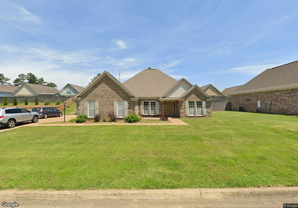
1231 Westbrook Ave Oxford, MS 38655
Estimated Value: $380,000 - $436,000
4
Beds
2
Baths
1,832
Sq Ft
$229/Sq Ft
Est. Value
About This Home
This home is located at 1231 Westbrook Ave, Oxford, MS 38655 and is currently estimated at $418,839, approximately $228 per square foot. 1231 Westbrook Ave is a home located in Lafayette County with nearby schools including Central Elementary School, Bramlett Elementary School, and Della Davidson Elementary School.
Ownership History
Date
Name
Owned For
Owner Type
Purchase Details
Closed on
Dec 20, 2022
Sold by
Johnson Anthony T
Bought by
Meacham Barbara Ann Williams
Current Estimated Value
Home Financials for this Owner
Home Financials are based on the most recent Mortgage that was taken out on this home.
Original Mortgage
$220,000
Outstanding Balance
$212,505
Interest Rate
6.25%
Mortgage Type
New Conventional
Estimated Equity
$206,334
Create a Home Valuation Report for This Property
The Home Valuation Report is an in-depth analysis detailing your home's value as well as a comparison with similar homes in the area
Home Values in the Area
Average Home Value in this Area
Purchase History
| Date | Buyer | Sale Price | Title Company |
|---|---|---|---|
| Meacham Barbara Ann Williams | -- | -- |
Source: Public Records
Mortgage History
| Date | Status | Borrower | Loan Amount |
|---|---|---|---|
| Open | Meacham Barbara Ann Williams | $220,000 |
Source: Public Records
Tax History Compared to Growth
Tax History
| Year | Tax Paid | Tax Assessment Tax Assessment Total Assessment is a certain percentage of the fair market value that is determined by local assessors to be the total taxable value of land and additions on the property. | Land | Improvement |
|---|---|---|---|---|
| 2024 | $1,546 | $22,733 | $0 | $0 |
| 2023 | $1,546 | $22,733 | $0 | $0 |
| 2022 | $1,516 | $21,212 | $0 | $0 |
| 2021 | $656 | $21,212 | $0 | $0 |
| 2020 | $626 | $20,986 | $0 | $0 |
| 2019 | $626 | $20,986 | $0 | $0 |
| 2018 | $626 | $20,986 | $0 | $0 |
| 2017 | $774 | $20,919 | $0 | $0 |
| 2016 | $1,056 | $29,531 | $0 | $0 |
| 2015 | -- | $3,000 | $0 | $0 |
| 2014 | -- | $3,000 | $0 | $0 |
Source: Public Records
Map
Nearby Homes
- 1701 Rhett's Dr
- 1817 Atlanta Ave
- 717 Savannah Dr
- 710 Happy Ln
- 607 Happy Ln
- 100 Heights Dr
- 108 Cedar Hill Dr
- 133 Heights Dr
- 11 County Road 1057
- 128 Cedar Hill Dr
- 4144 Fieldstone Loop
- 1048 Fieldstone Ln
- 201 Cotton Creek Cove
- 1054 Fieldstone Ln
- 8021 Cart Path Ln
- 8017 Cart Path Ln
- 3809 #6 Old Sardis Rd
- 3809 #5 Old Sardis Rd
- 3809 #9 Old Sardis Rd
- 3809 #11 Old Sardis Rd
- 1231 Westbrook Dr
- 1233 Westbrook Dr
- 1307 Ashleys Dr
- 1311 Ashley's Dr
- 1313 Ashleys Dr
- 1232 Westbrook Dr
- 1305 Ashleys Dr
- 1501 Wilkes Ave
- 1234 Westbrook Dr
- 1315 Ashleys Dr
- 1303 Ashley's Dr
- 1230 Westbrook Dr
- 1227 Westbrook Dr
- 1301 Ashleys Dr
- 1236 Westbrook Dr
- 1236 Westbrook Dr
- 1317 Ashleys Dr
- 1308 Ashley's Dr
- 1308 Ashleys Dr