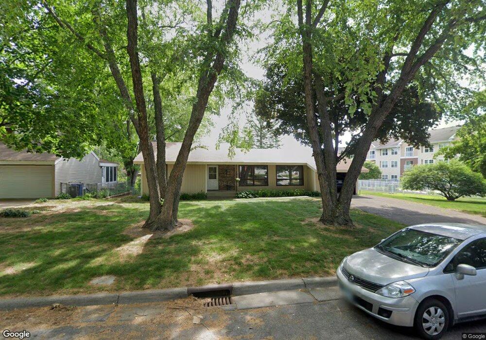
1232 Maywood St Saint Paul, MN 55117
Como Park NeighborhoodEstimated Value: $335,509 - $360,000
3
Beds
2
Baths
1,309
Sq Ft
$268/Sq Ft
Est. Value
About This Home
This home is located at 1232 Maywood St, Saint Paul, MN 55117 and is currently estimated at $350,877, approximately $268 per square foot. 1232 Maywood St is a home located in Ramsey County with nearby schools including Como Park Elementary School, Murray Middle School, and Como Park Senior High School.
Ownership History
Date
Name
Owned For
Owner Type
Purchase Details
Closed on
Mar 16, 2022
Sold by
Dey Toni
Bought by
Koulouris Bryan and Bellin Kelly
Current Estimated Value
Home Financials for this Owner
Home Financials are based on the most recent Mortgage that was taken out on this home.
Original Mortgage
$325,000
Outstanding Balance
$302,361
Interest Rate
3.55%
Mortgage Type
New Conventional
Estimated Equity
$48,516
Purchase Details
Closed on
Mar 20, 2001
Sold by
Dey Single Toni Kay
Bought by
Koulouris Bryan Alexander and Bellin Lloyd Michael
Home Financials for this Owner
Home Financials are based on the most recent Mortgage that was taken out on this home.
Original Mortgage
$308,750
Interest Rate
5.75%
Mortgage Type
New Conventional
Create a Home Valuation Report for This Property
The Home Valuation Report is an in-depth analysis detailing your home's value as well as a comparison with similar homes in the area
Home Values in the Area
Average Home Value in this Area
Purchase History
| Date | Buyer | Sale Price | Title Company |
|---|---|---|---|
| Koulouris Bryan | $325,000 | -- | |
| Koulouris Bryan Alexander | -- | Burnet Title |
Source: Public Records
Mortgage History
| Date | Status | Borrower | Loan Amount |
|---|---|---|---|
| Open | Koulouris Bryan | $325,000 | |
| Previous Owner | Koulouris Bryan Alexander | $308,750 |
Source: Public Records
Tax History Compared to Growth
Tax History
| Year | Tax Paid | Tax Assessment Tax Assessment Total Assessment is a certain percentage of the fair market value that is determined by local assessors to be the total taxable value of land and additions on the property. | Land | Improvement |
|---|---|---|---|---|
| 2025 | $4,518 | $302,500 | $60,000 | $242,500 |
| 2023 | $4,518 | $298,200 | $60,000 | $238,200 |
| 2022 | $3,848 | $272,200 | $60,000 | $212,200 |
| 2021 | $3,920 | $235,100 | $60,000 | $175,100 |
| 2020 | $3,906 | $247,300 | $60,000 | $187,300 |
| 2019 | $3,916 | $230,700 | $55,000 | $175,700 |
| 2018 | $3,950 | $229,200 | $55,000 | $174,200 |
| 2017 | $4,008 | $241,300 | $94,500 | $146,800 |
| 2016 | $3,574 | $0 | $0 | $0 |
| 2015 | $3,142 | $198,300 | $94,500 | $103,800 |
| 2014 | $3,384 | $0 | $0 | $0 |
Source: Public Records
Map
Nearby Homes
- 1342 Dale St N
- 766 Maryland Ave W
- 1300 Schletti St
- tbd MacKubin St
- 1063 Dale St N
- 696 Edgar Ave
- 1048 Dale St N
- 1049 Kent St
- 1104 MacKubin St
- 1005 Como Blvd E
- 1175 Arundel St
- 705 Como Ave
- 740 Como Ave
- 1222 Como Blvd E
- 569 Hatch Ave
- 744 Arlington Ave W
- 1464 Maywood St
- 1463 Saint Albans St N
- 352 Como Ave
- 1083 Western Ave N
- 1238 Maywood St
- 1231 Dale St N
- 1231 1231 Dale St N
- 1227 Dale St N
- 635 Maryland Ave W
- 1237 Dale St N
- 1233 Maywood St
- 1229 Maywood St
- 1245 Dale St N
- 1223 Maywood St
- 646 Orange Ave W
- 1247 Maywood St
- 1217 Maywood St
- 640 Orange Ave W
- 640 640 Orange-Avenue-w
- 634 Orange Ave W
- 1251 Maywood St
- 1255 Dale St N
- 653 Maryland Ave W
- 1255 Maywood St