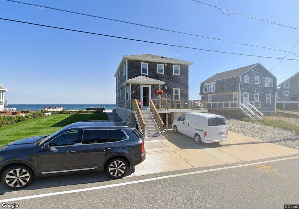
124 Oceanside Dr Unit 1 Scituate, MA 02066
Estimated Value: $1,121,000 - $1,365,000
3
Beds
2
Baths
1,862
Sq Ft
$663/Sq Ft
Est. Value
About This Home
This home is located at 124 Oceanside Dr Unit 1, Scituate, MA 02066 and is currently estimated at $1,234,552, approximately $663 per square foot. 124 Oceanside Dr Unit 1 is a home located in Plymouth County with nearby schools including Wampatuck Elementary School, Lester J. Gates Middle School, and Scituate High School.
Ownership History
Date
Name
Owned For
Owner Type
Purchase Details
Closed on
Sep 3, 2021
Sold by
Stephens Therese M
Bought by
Stephens Jerome M and Stephens Therese M
Current Estimated Value
Purchase Details
Closed on
Sep 16, 2009
Sold by
Stephens Jerome and Stephens Marcia
Bought by
Stephens Therese M
Home Financials for this Owner
Home Financials are based on the most recent Mortgage that was taken out on this home.
Original Mortgage
$370,000
Interest Rate
5.28%
Mortgage Type
Purchase Money Mortgage
Create a Home Valuation Report for This Property
The Home Valuation Report is an in-depth analysis detailing your home's value as well as a comparison with similar homes in the area
Home Values in the Area
Average Home Value in this Area
Purchase History
| Date | Buyer | Sale Price | Title Company |
|---|---|---|---|
| Stephens Jerome M | -- | None Available | |
| Stephens Therese M | $650,000 | -- |
Source: Public Records
Mortgage History
| Date | Status | Borrower | Loan Amount |
|---|---|---|---|
| Previous Owner | Stephens Therese M | $370,000 |
Source: Public Records
Tax History Compared to Growth
Tax History
| Year | Tax Paid | Tax Assessment Tax Assessment Total Assessment is a certain percentage of the fair market value that is determined by local assessors to be the total taxable value of land and additions on the property. | Land | Improvement |
|---|---|---|---|---|
| 2025 | $11,352 | $1,136,300 | $711,200 | $425,100 |
| 2024 | $9,439 | $911,100 | $574,700 | $336,400 |
| 2023 | $8,328 | $821,700 | $522,500 | $299,200 |
| 2022 | $8,328 | $659,900 | $408,900 | $251,000 |
| 2021 | $7,044 | $528,400 | $389,400 | $139,000 |
| 2020 | $6,928 | $513,200 | $374,400 | $138,800 |
| 2019 | $7,260 | $528,400 | $391,500 | $136,900 |
| 2018 | $7,476 | $535,900 | $393,300 | $142,600 |
| 2017 | $7,404 | $525,500 | $382,900 | $142,600 |
| 2016 | $7,213 | $510,100 | $372,600 | $137,500 |
| 2015 | $6,817 | $520,400 | $382,900 | $137,500 |
Source: Public Records
Map
Nearby Homes
- 209 Hatherly Rd
- 30 Irving Rd
- 23 Lois Ann Ct Unit 23
- 50 Oceanside Dr
- 55 Seaside Rd
- 7 Borden Rd
- 355 Tilden Rd
- 105 Turner Rd
- 378 Tilden Rd
- 148 Tilden Rd
- 2 Windward Ln
- 12 Richfield Rd
- 22 Kings Way
- 32 Barker Rd Unit 3
- 1 Hillside Rd
- 54 Woodland Rd
- 46 Marys Ln
- 18 James Way
- 74 Tilden Rd
- 59 Captain Peirce Rd
- 124 Oceanside Dr
- 122 Oceanside Dr
- 128 Oceanside Dr
- 120 Oceanside Dr
- 22 3rd Ave
- 121 Oceanside Dr
- 129 Oceanside Dr
- 130 Oceanside Dr
- 21 4th Ave
- 119 Oceanside Dr
- 18 3rd Ave
- 116 Oceanside Dr
- 135 Oceanside Dr
- 117 Oceanside Dr
- 117 Oceanside Dr Unit 117
- 22 4th Ave
- 18 2nd Ave
- 134 Oceanside Dr
- 134 Oceanside Dr Unit 1
- 134 Oceanside Dr Unit 134