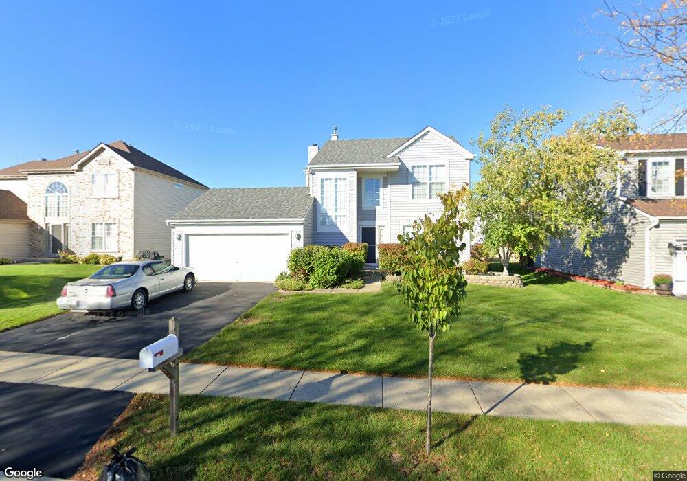
124 Troutman Dr Bartlett, IL 60103
Estimated Value: $374,000 - $470,000
3
Beds
3
Baths
1,561
Sq Ft
$277/Sq Ft
Est. Value
About This Home
This home is located at 124 Troutman Dr, Bartlett, IL 60103 and is currently estimated at $432,290, approximately $276 per square foot. 124 Troutman Dr is a home located in Cook County with nearby schools including Nature Ridge Elementary School, Kenyon Woods Middle School, and South Elgin High School.
Ownership History
Date
Name
Owned For
Owner Type
Purchase Details
Closed on
Jun 3, 1996
Sold by
Centex Real Estate Corp
Bought by
Boszko Robert
Current Estimated Value
Home Financials for this Owner
Home Financials are based on the most recent Mortgage that was taken out on this home.
Original Mortgage
$110,000
Outstanding Balance
$7,073
Interest Rate
8.07%
Estimated Equity
$425,217
Create a Home Valuation Report for This Property
The Home Valuation Report is an in-depth analysis detailing your home's value as well as a comparison with similar homes in the area
Home Values in the Area
Average Home Value in this Area
Purchase History
| Date | Buyer | Sale Price | Title Company |
|---|---|---|---|
| Boszko Robert | $141,000 | -- |
Source: Public Records
Mortgage History
| Date | Status | Borrower | Loan Amount |
|---|---|---|---|
| Open | Boszko Robert | $110,000 |
Source: Public Records
Tax History Compared to Growth
Tax History
| Year | Tax Paid | Tax Assessment Tax Assessment Total Assessment is a certain percentage of the fair market value that is determined by local assessors to be the total taxable value of land and additions on the property. | Land | Improvement |
|---|---|---|---|---|
| 2024 | $7,746 | $27,897 | $6,354 | $21,543 |
| 2023 | $7,432 | $30,000 | $6,354 | $23,646 |
| 2022 | $7,432 | $30,000 | $6,354 | $23,646 |
| 2021 | $5,869 | $21,440 | $5,606 | $15,834 |
| 2020 | $5,936 | $21,440 | $5,606 | $15,834 |
| 2019 | $5,892 | $23,823 | $5,606 | $18,217 |
| 2018 | $5,166 | $20,364 | $4,858 | $15,506 |
| 2017 | $5,115 | $20,364 | $4,858 | $15,506 |
| 2016 | $6,325 | $23,200 | $4,858 | $18,342 |
| 2015 | $6,940 | $21,783 | $4,298 | $17,485 |
| 2014 | $6,868 | $21,783 | $4,298 | $17,485 |
| 2013 | $6,576 | $21,783 | $4,298 | $17,485 |
Source: Public Records
Map
Nearby Homes
- 227 Faircroft Rd Unit 1
- 1969 Osprey Ct Unit 223
- 180 Primrose Ln Unit 1
- 184 Primrose Ln Unit 1
- 186 Sunflower Ln
- 240 Hearthstone Dr
- 171 Silbury Dr
- 1057 Moraine Dr
- 1016 Moraine Dr
- 1079 Atterberg Rd
- 537 Rose Ln
- 200 Patrick Dr
- 1618 Thornbury Rd Unit 1224
- 1458 Deer Pointe Dr
- 629 Dogleg Ln
- 303 Ann St
- 1318 Foxglove Dr
- 1314 Foxglove Dr
- 1316 Foxglove Dr
- 653 Elgin Ave
- 128 Troutman Dr
- 120 Troutman Dr
- 127 Cedarfield Dr
- 132 Troutman Dr
- 131 Cedarfield Dr
- 123 Cedarfield Dr
- 116 Troutman Dr
- 1981 Southfield Dr Unit 3
- 135 Cedarfield Dr
- 119 Cedarfield Dr
- 121 Troutman Dr
- 136 Troutman Dr
- 1987 Woodhaven Dr
- 1991 Woodhaven Dr
- 1977 Southfield Dr
- 117 Troutman Dr
- 139 Cedarfield Dr
- 135 Troutman Dr
- 1995 Woodhaven Dr
- 140 Troutman Dr