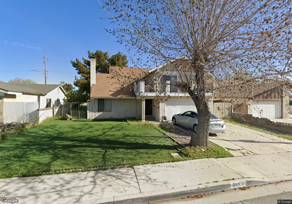
1243 E Lingard St Lancaster, CA 93535
East Lancaster NeighborhoodEstimated Value: $445,000 - $501,000
4
Beds
3
Baths
2,043
Sq Ft
$227/Sq Ft
Est. Value
About This Home
This home is located at 1243 E Lingard St, Lancaster, CA 93535 and is currently estimated at $462,947, approximately $226 per square foot. 1243 E Lingard St is a home located in Los Angeles County with nearby schools including El Dorado Elementary School, Piute Middle School, and Eastside High School.
Ownership History
Date
Name
Owned For
Owner Type
Purchase Details
Closed on
Apr 24, 1997
Sold by
Citicorp Mtg Inc
Bought by
Sanchez Mireya I
Current Estimated Value
Home Financials for this Owner
Home Financials are based on the most recent Mortgage that was taken out on this home.
Original Mortgage
$72,000
Outstanding Balance
$9,522
Interest Rate
8.15%
Estimated Equity
$453,425
Purchase Details
Closed on
Oct 22, 1996
Sold by
Crook James T
Bought by
Citicorp Mtg Inc
Create a Home Valuation Report for This Property
The Home Valuation Report is an in-depth analysis detailing your home's value as well as a comparison with similar homes in the area
Home Values in the Area
Average Home Value in this Area
Purchase History
| Date | Buyer | Sale Price | Title Company |
|---|---|---|---|
| Sanchez Mireya I | $90,000 | First American | |
| Citicorp Mtg Inc | $81,992 | First Southwestern Title Co |
Source: Public Records
Mortgage History
| Date | Status | Borrower | Loan Amount |
|---|---|---|---|
| Open | Sanchez Mireya I | $72,000 |
Source: Public Records
Tax History
| Year | Tax Paid | Tax Assessment Tax Assessment Total Assessment is a certain percentage of the fair market value that is determined by local assessors to be the total taxable value of land and additions on the property. | Land | Improvement |
|---|---|---|---|---|
| 2025 | $3,044 | $146,556 | $29,302 | $117,254 |
| 2024 | $3,044 | $143,683 | $28,728 | $114,955 |
| 2023 | $2,985 | $140,866 | $28,165 | $112,701 |
| 2022 | $2,904 | $138,105 | $27,613 | $110,492 |
| 2021 | $2,518 | $135,398 | $27,072 | $108,326 |
| 2019 | $2,452 | $131,384 | $26,270 | $105,114 |
| 2018 | $2,410 | $128,808 | $25,755 | $103,053 |
| 2016 | $2,282 | $123,807 | $24,755 | $99,052 |
| 2015 | $2,256 | $121,949 | $24,384 | $97,565 |
| 2014 | $2,255 | $119,561 | $23,907 | $95,654 |
Source: Public Records
Map
Nearby Homes
- 44910 12th St E
- 44727 Benald St
- 1129 Lightcap St
- 44840 Fenhold St
- 44919 Fenhold St
- 44827 Rock Island Dr
- 1304 E Avenue I Unit 8
- 1304 E Avenue I Unit 9
- 1304 E Avenue I Unit Spc 35
- 1109 E Kildare St
- 44633 Calston Ave
- 1027 Landsford St
- 44800 Denmore Ave
- 1213 Morven St
- 1132 Morven St
- 44508 15th St E Unit 12
- 1609 Silvia Ave
- 45050 Bevington Ave
- 44544 15th St E Unit 9
- 1111 Caperton St
- 1251 E Lingard St
- 1239 E Lingard St
- 1304 E Lancaster Blvd Unit J-1
- 1257 E Lingard St
- 1233 E Lingard St
- 44745 Christie Ave
- 44746 Calston Ave
- 1263 E Lingard St
- 44801 13th St E
- 1227 E Lingard St
- 44737 Christie Ave
- 44800 13th St E
- 44744 Christie Ave
- 44740 Calston Ave
- 1269 E Lingard St
- 44811 13th St E
- 44802 Calston Ave
- 44757 Calston Ave
- 44812 13th St E
- 44738 Christie Ave
Your Personal Tour Guide
Ask me questions while you tour the home.