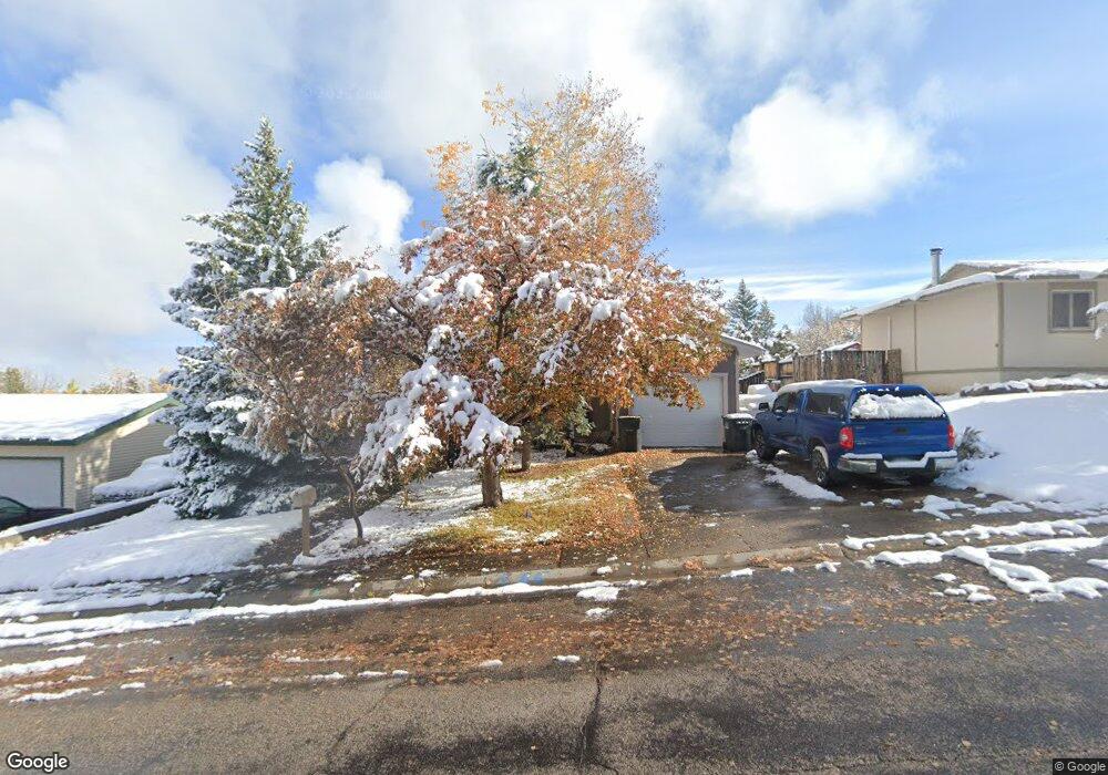
1245 Mcdougall Dr Unit S. 9th Lander, WY 82520
Estimated Value: $311,000 - $373,000
4
Beds
3
Baths
2,016
Sq Ft
$171/Sq Ft
Est. Value
About This Home
This home is located at 1245 Mcdougall Dr Unit S. 9th, Lander, WY 82520 and is currently estimated at $344,368, approximately $170 per square foot. 1245 Mcdougall Dr Unit S. 9th is a home located in Fremont County with nearby schools including Lander Valley High School and Lander Christian Academy.
Ownership History
Date
Name
Owned For
Owner Type
Purchase Details
Closed on
Mar 7, 2018
Sold by
Stewart Kathryn A and Stewart Joshua C
Bought by
Long Timothy
Current Estimated Value
Home Financials for this Owner
Home Financials are based on the most recent Mortgage that was taken out on this home.
Original Mortgage
$228,000
Outstanding Balance
$194,302
Interest Rate
4.15%
Mortgage Type
New Conventional
Estimated Equity
$150,066
Purchase Details
Closed on
Apr 29, 2016
Sold by
Henderson William Terry and Henderson Barbara K
Bought by
Stewart Kathryn A and Stewart Joshua C
Home Financials for this Owner
Home Financials are based on the most recent Mortgage that was taken out on this home.
Original Mortgage
$174,400
Interest Rate
3.73%
Mortgage Type
New Conventional
Create a Home Valuation Report for This Property
The Home Valuation Report is an in-depth analysis detailing your home's value as well as a comparison with similar homes in the area
Home Values in the Area
Average Home Value in this Area
Purchase History
| Date | Buyer | Sale Price | Title Company |
|---|---|---|---|
| Long Timothy | -- | First American Title Inc Co | |
| Stewart Kathryn A | -- | First American Title Ins Co |
Source: Public Records
Mortgage History
| Date | Status | Borrower | Loan Amount |
|---|---|---|---|
| Open | Long Timothy | $228,000 | |
| Previous Owner | Stewart Kathryn A | $174,400 |
Source: Public Records
Tax History Compared to Growth
Tax History
| Year | Tax Paid | Tax Assessment Tax Assessment Total Assessment is a certain percentage of the fair market value that is determined by local assessors to be the total taxable value of land and additions on the property. | Land | Improvement |
|---|---|---|---|---|
| 2025 | $2,283 | $22,837 | $3,811 | $19,026 |
| 2024 | $2,283 | $29,580 | $5,081 | $24,499 |
| 2023 | $2,181 | $28,480 | $4,923 | $23,557 |
| 2022 | $1,811 | $24,170 | $4,923 | $19,247 |
| 2021 | $1,619 | $20,912 | $4,795 | $16,117 |
| 2020 | $1,505 | $19,478 | $4,795 | $14,683 |
| 2019 | $1,490 | $18,978 | $4,764 | $14,214 |
| 2018 | $1,491 | $18,785 | $4,764 | $14,021 |
| 2017 | $1,470 | $18,469 | $4,764 | $13,705 |
| 2016 | $1,185 | $17,920 | $4,764 | $13,156 |
| 2015 | $1,156 | $17,720 | $4,764 | $12,956 |
| 2014 | $1,248 | $18,914 | $4,764 | $14,150 |
Source: Public Records
Map
Nearby Homes
- 1245 Mcdougall Dr
- 1245 Mcdougall Dr Unit Cascade
- 1235 Mcdougall Dr
- 1255 Mcdougall Dr
- 1255 Mcdougall Dr Unit Smith
- 795 Welch Blvd
- 795 Welch Blvd Unit Cascade
- 797 Welch Blvd
- 1225 Mcdougall Dr
- 1265 Mcdougall Dr
- 793 Welch Blvd
- 799 Welch Blvd
- 1230 Mcdougall Dr
- 1240 Mcdougall Dr
- 1224 Mcdougall Dr
- 791 Welch Blvd
- 1250 Mcdougall Dr
- 1215 Mcdougall Dr
- 1275 Mcdougall Dr
- 1210 Mcdougall Dr