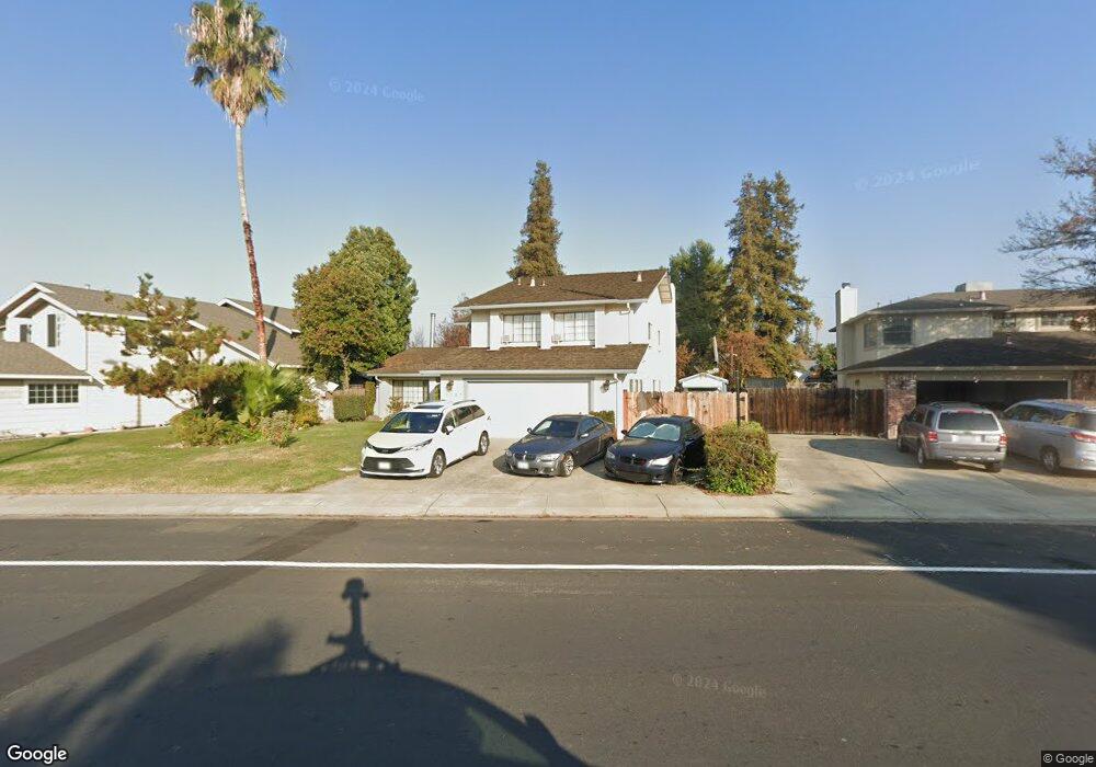
1247 Daniels St Manteca, CA 95337
Estimated Value: $639,000 - $706,000
6
Beds
3
Baths
2,720
Sq Ft
$253/Sq Ft
Est. Value
About This Home
This home is located at 1247 Daniels St, Manteca, CA 95337 and is currently estimated at $689,134, approximately $253 per square foot. 1247 Daniels St is a home located in San Joaquin County with nearby schools including Brock Elliott Elementary School and Sierra High School.
Ownership History
Date
Name
Owned For
Owner Type
Purchase Details
Closed on
Aug 27, 2020
Sold by
Lowry Brenda K and Lowry Richard A
Bought by
Kiner Thomas E
Current Estimated Value
Home Financials for this Owner
Home Financials are based on the most recent Mortgage that was taken out on this home.
Original Mortgage
$550,600
Outstanding Balance
$488,621
Interest Rate
2.9%
Mortgage Type
VA
Estimated Equity
$200,513
Purchase Details
Closed on
May 24, 2013
Sold by
Lowry Richard A and Lowry Brenda K
Bought by
Lowry Richard A and Lowry Brenda K
Home Financials for this Owner
Home Financials are based on the most recent Mortgage that was taken out on this home.
Original Mortgage
$71,000
Interest Rate
3.38%
Mortgage Type
New Conventional
Purchase Details
Closed on
Nov 9, 2001
Sold by
Lowry Richard A and Lowry Brenda K
Bought by
Lowry Richard and Lowry Brenda
Home Financials for this Owner
Home Financials are based on the most recent Mortgage that was taken out on this home.
Original Mortgage
$196,000
Interest Rate
6.62%
Create a Home Valuation Report for This Property
The Home Valuation Report is an in-depth analysis detailing your home's value as well as a comparison with similar homes in the area
Purchase History
| Date | Buyer | Sale Price | Title Company |
|---|---|---|---|
| Kiner Thomas E | $551,000 | Placer Title Company | |
| Lowry Richard A | -- | Old Republic Title Company | |
| Lowry Richard | -- | Chicago Title Co |
Source: Public Records
Mortgage History
| Date | Status | Borrower | Loan Amount |
|---|---|---|---|
| Open | Kiner Thomas E | $550,600 | |
| Previous Owner | Lowry Richard A | $71,000 | |
| Previous Owner | Lowry Richard | $196,000 |
Source: Public Records
Tax History
| Year | Tax Paid | Tax Assessment Tax Assessment Total Assessment is a certain percentage of the fair market value that is determined by local assessors to be the total taxable value of land and additions on the property. | Land | Improvement |
|---|---|---|---|---|
| 2025 | $4,688 | $595,984 | $129,890 | $466,094 |
| 2024 | $4,580 | $584,299 | $127,344 | $456,955 |
| 2023 | $4,584 | $572,844 | $124,848 | $447,996 |
| 2022 | $4,604 | $561,612 | $122,400 | $439,212 |
| 2021 | $4,549 | $550,600 | $120,000 | $430,600 |
| 2020 | $3,863 | $352,946 | $120,071 | $232,875 |
| 2019 | $3,813 | $346,026 | $117,717 | $228,309 |
| 2018 | $3,763 | $339,242 | $115,409 | $223,833 |
| 2017 | $3,708 | $332,592 | $113,147 | $219,445 |
| 2016 | $3,619 | $326,072 | $110,928 | $215,144 |
| 2014 | $3,205 | $300,000 | $102,000 | $198,000 |
Source: Public Records
Map
Nearby Homes
- 896 Cinnamon Teal Ct
- 938 Snowgoose Ln
- 1015 Tenaya Ct
- 578 Schooner Place
- 1025 Barbados St
- 1176 Junction Dr
- 1432 Meridian St
- 1444 Meridian St
- 778 Mission Ridge Dr
- 1432 Driftwood Way
- 776 Folsom Way
- 865 Locust Ave
- 1164 Marion St
- 707 Chenin Blanc Dr
- 1142 Mammoth Dr
- 1821 Avo Way
- 1676 Red Ribbons Ln
- 1555 Sand Ln
- 1602 Oleander Ave
- 628 Mission Ridge Dr
- 1259 Daniels St
- 1235 Daniels St
- 1223 Daniels St
- 1248 Corwin Dr
- 1285 Daniels St
- 1271 Daniels St
- 1230 Corwin Dr
- 1238 Daniels St
- 1266 Corwin Dr
- 1211 Daniels St
- 1224 Daniels St
- 1273 Hunt Rd
- 1212 Corwin Dr
- 1270 Hunt Rd
- 1293 Daniels St
- 1212 Daniels St
- 1282 Corwin Dr
- 1274 Junge Ct
- 1281 Hunt Rd
- 1296 Daniels St
Your Personal Tour Guide
Ask me questions while you tour the home.