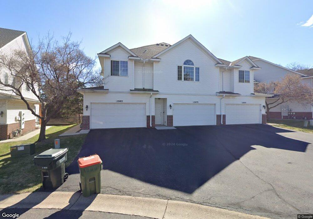
12479 Unity St NW Coon Rapids, MN 55448
Estimated Value: $252,000 - $272,000
2
Beds
2
Baths
1,612
Sq Ft
$162/Sq Ft
Est. Value
About This Home
This home is located at 12479 Unity St NW, Coon Rapids, MN 55448 and is currently estimated at $261,908, approximately $162 per square foot. 12479 Unity St NW is a home located in Anoka County with nearby schools including Sand Creek Elementary School, Northdale Middle School, and Green Valley High School.
Ownership History
Date
Name
Owned For
Owner Type
Purchase Details
Closed on
Jul 30, 2019
Sold by
Torper Jennifer Kathleen and Jorosz Jennifer K
Bought by
Muthiani Adele Amy
Current Estimated Value
Home Financials for this Owner
Home Financials are based on the most recent Mortgage that was taken out on this home.
Original Mortgage
$179,300
Outstanding Balance
$157,034
Interest Rate
3.7%
Mortgage Type
New Conventional
Estimated Equity
$104,874
Purchase Details
Closed on
Oct 10, 2017
Sold by
Torper Monty Wayne
Bought by
Torper Jennifer Jarosz
Create a Home Valuation Report for This Property
The Home Valuation Report is an in-depth analysis detailing your home's value as well as a comparison with similar homes in the area
Home Values in the Area
Average Home Value in this Area
Purchase History
| Date | Buyer | Sale Price | Title Company |
|---|---|---|---|
| Muthiani Adele Amy | $184,900 | Titlesmart Inc | |
| Torper Jennifer Jarosz | -- | None Available |
Source: Public Records
Mortgage History
| Date | Status | Borrower | Loan Amount |
|---|---|---|---|
| Open | Muthiani Adele Amy | $179,300 |
Source: Public Records
Tax History Compared to Growth
Tax History
| Year | Tax Paid | Tax Assessment Tax Assessment Total Assessment is a certain percentage of the fair market value that is determined by local assessors to be the total taxable value of land and additions on the property. | Land | Improvement |
|---|---|---|---|---|
| 2025 | $2,236 | $230,500 | $50,000 | $180,500 |
| 2024 | $2,236 | $226,400 | $55,000 | $171,400 |
| 2023 | $2,060 | $221,400 | $40,000 | $181,400 |
| 2022 | $1,916 | $220,900 | $31,500 | $189,400 |
| 2021 | $1,853 | $186,100 | $20,000 | $166,100 |
| 2020 | $1,741 | $176,900 | $20,000 | $156,900 |
| 2019 | $1,972 | $161,800 | $20,000 | $141,800 |
| 2018 | $2,050 | $174,800 | $0 | $0 |
| 2017 | $1,809 | $158,500 | $0 | $0 |
| 2016 | $1,836 | $135,300 | $0 | $0 |
| 2015 | $1,726 | $135,300 | $7,000 | $128,300 |
| 2014 | -- | $104,000 | $7,000 | $97,000 |
Source: Public Records
Map
Nearby Homes
- 12488 Unity St NW
- 899 123rd Ln NW
- 12357 Magnolia St NW
- 1234 128th Cir NW
- 1450 126th Ln NW
- 12463 Drake St NW
- 12796 Bluebird St NW
- 11923 Wintergreen St NW
- 1593 126th Ln NW
- 1625 124th Ave NW
- 633 Sand Creek Dr NW
- 11852 Yellow Pine St NW
- 1520 129th Ave NW
- 12554 Grouse St NW
- 12010 Eagle St NW
- 1449 119th Ln NW
- 12365 Jay St NW
- 1727 121st Ln NW
- 11640 Larch St NW
- 1930 127th Cir NW
- 12475 Unity St NW
- 12475 Unity St NW
- 12467 Unity St NW
- 12483 Unity St NW Unit 16
- 12463 Unity St NW
- 12459 Unity St NW
- 12459 Unity St NW
- 12491 Unity St NW
- 12495 Unity St NW
- 12495 Unity St NW
- 12472 Sycamore St NW
- 12499 Unity St NW
- 12475 Sycamore St NW
- 12468 Unity St NW
- 12468 Sycamore St NW
- 12472 Unity St NW Unit 6
- 12480 Unity St NW Unit 8
- 12462 Unity St NW
- 12476 Unity St NW
- 12454 12454 Unity-Street-nw