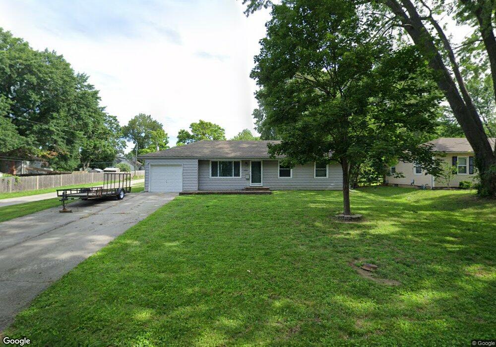
12520 W 56th St Shawnee, KS 66216
Estimated Value: $275,000 - $294,379
3
Beds
2
Baths
960
Sq Ft
$299/Sq Ft
Est. Value
About This Home
This home is located at 12520 W 56th St, Shawnee, KS 66216 and is currently estimated at $287,345, approximately $299 per square foot. 12520 W 56th St is a home located in Johnson County with nearby schools including Ray Marsh Elementary School, Trailridge Middle School, and Shawnee Mission Northwest High School.
Ownership History
Date
Name
Owned For
Owner Type
Purchase Details
Closed on
May 14, 2007
Sold by
Waters John C and Waters Renae Lynn
Bought by
Strandt Jeffrey W
Current Estimated Value
Home Financials for this Owner
Home Financials are based on the most recent Mortgage that was taken out on this home.
Original Mortgage
$152,950
Outstanding Balance
$123,089
Interest Rate
6.16%
Mortgage Type
New Conventional
Estimated Equity
$164,256
Purchase Details
Closed on
Nov 23, 2004
Sold by
Waters Shari L
Bought by
Waters John C
Create a Home Valuation Report for This Property
The Home Valuation Report is an in-depth analysis detailing your home's value as well as a comparison with similar homes in the area
Home Values in the Area
Average Home Value in this Area
Purchase History
| Date | Buyer | Sale Price | Title Company |
|---|---|---|---|
| Strandt Jeffrey W | -- | None Available | |
| Waters John C | -- | None Available |
Source: Public Records
Mortgage History
| Date | Status | Borrower | Loan Amount |
|---|---|---|---|
| Open | Strandt Jeffrey W | $152,950 |
Source: Public Records
Tax History Compared to Growth
Tax History
| Year | Tax Paid | Tax Assessment Tax Assessment Total Assessment is a certain percentage of the fair market value that is determined by local assessors to be the total taxable value of land and additions on the property. | Land | Improvement |
|---|---|---|---|---|
| 2024 | $2,989 | $28,520 | $5,778 | $22,742 |
| 2023 | $2,984 | $27,899 | $5,778 | $22,121 |
| 2022 | $2,604 | $24,265 | $5,250 | $19,015 |
| 2021 | $2,603 | $22,632 | $4,562 | $18,070 |
| 2020 | $2,236 | $19,159 | $4,149 | $15,010 |
| 2019 | $2,159 | $18,481 | $3,462 | $15,019 |
| 2018 | $2,131 | $18,170 | $3,141 | $15,029 |
| 2017 | $2,032 | $17,055 | $3,141 | $13,914 |
| 2016 | $1,882 | $15,583 | $3,141 | $12,442 |
| 2015 | $1,780 | $15,410 | $3,141 | $12,269 |
| 2013 | -- | $14,778 | $3,141 | $11,637 |
Source: Public Records
Map
Nearby Homes
- 12508 W 56th St
- 5620 Monrovia St
- 5504 Monrovia St
- 12809 W 57th Terrace
- 5407 Halsey St
- 5845 Caenen St
- 13130 W 52nd Terrace
- 13126 W 52nd Terrace
- 13134 W 52nd Terrace
- 5807 Noland Rd
- 5507 Noland Rd
- 11815 W 53rd St
- 13305 W 51st St
- 5021 Bradshaw St
- 5013 Bradshaw St
- 5300 Summit Ct
- 4908 Noland Rd
- 5919 Pflumm Rd
- 5530 Rene St
- 5703 Cottonwood St
- 12516 W 56th St
- 5527 Westgate St
- 5523 Westgate St
- 5540 Long Ave
- 12512 W 56th St
- 5526 Long Ave
- 12505 W 55th St
- 5602 Long Ave
- 5518 Long Ave
- 5601 Westgate St
- 12417 W 56th St
- 5605 Westgate St
- 5520 Westgate St
- 5528 Westgate St
- 5609 Long Ave
- 5532 Westgate St
- 5616 Long Ave
- 5544 Caenen St
- 5540 Caenen St
- 5548 Caenen St