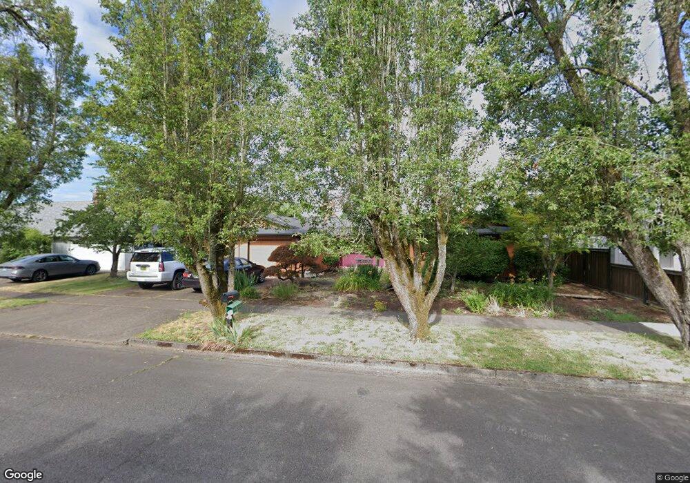
1260 President St Eugene, OR 97401
Harlow NeighborhoodEstimated Value: $505,000 - $583,000
3
Beds
3
Baths
1,734
Sq Ft
$308/Sq Ft
Est. Value
About This Home
This home is located at 1260 President St, Eugene, OR 97401 and is currently estimated at $534,454, approximately $308 per square foot. 1260 President St is a home located in Lane County with nearby schools including Holt Elementary School, Monroe Middle School, and Sheldon High School.
Ownership History
Date
Name
Owned For
Owner Type
Purchase Details
Closed on
Mar 27, 2025
Sold by
Mcrae Sara J
Bought by
Winetrout Jerry Craig
Current Estimated Value
Purchase Details
Closed on
Oct 11, 2012
Sold by
Wilson Jannett E
Bought by
Winetrout Jerry C and Mcrae Sara J
Home Financials for this Owner
Home Financials are based on the most recent Mortgage that was taken out on this home.
Original Mortgage
$178,800
Interest Rate
3.52%
Mortgage Type
New Conventional
Purchase Details
Closed on
Jan 5, 2001
Sold by
Wilson Jeffrey L
Bought by
Wilson Jannett E
Create a Home Valuation Report for This Property
The Home Valuation Report is an in-depth analysis detailing your home's value as well as a comparison with similar homes in the area
Home Values in the Area
Average Home Value in this Area
Purchase History
| Date | Buyer | Sale Price | Title Company |
|---|---|---|---|
| Winetrout Jerry Craig | -- | None Listed On Document | |
| Winetrout Jerry C | $223,500 | Western Title & Escrow Compa | |
| Wilson Jannett E | -- | -- |
Source: Public Records
Mortgage History
| Date | Status | Borrower | Loan Amount |
|---|---|---|---|
| Previous Owner | Winetrout Jerry C | $178,800 |
Source: Public Records
Tax History Compared to Growth
Tax History
| Year | Tax Paid | Tax Assessment Tax Assessment Total Assessment is a certain percentage of the fair market value that is determined by local assessors to be the total taxable value of land and additions on the property. | Land | Improvement |
|---|---|---|---|---|
| 2025 | $5,424 | $278,395 | -- | -- |
| 2024 | $5,357 | $270,287 | -- | -- |
| 2023 | $5,357 | $262,415 | $0 | $0 |
| 2022 | $5,018 | $254,772 | $0 | $0 |
| 2021 | $4,713 | $247,352 | $0 | $0 |
| 2020 | $4,730 | $240,148 | $0 | $0 |
| 2019 | $4,568 | $233,154 | $0 | $0 |
| 2018 | $4,230 | $219,771 | $0 | $0 |
| 2017 | $3,973 | $219,771 | $0 | $0 |
| 2016 | $3,781 | $213,370 | $0 | $0 |
| 2015 | $3,646 | $207,155 | $0 | $0 |
| 2014 | $3,590 | $201,121 | $0 | $0 |
Source: Public Records
Map
Nearby Homes
- 1270 Calvin St
- 1277 Arcadia Dr
- 1038 President St
- 1395 Bogart Ln
- 1491 Victorian Way
- 1097 Leigh St
- 3684 Babcock Ln
- 2925 Van Ave
- 3387 Winchester Way
- 3700 Babcock Ln Unit 144
- 3700 Babcock Ln Unit 113
- 3700 Babcock Ln Unit 140
- 3700 Babcock Ln Unit SP150
- 0 Sprig Ln Unit Lot 3
- 0 Sprig Ln Unit Lot 3 766109892
- 0 Sprig Ln Unit Lot 6 156455067
- 3594 Sussex St
- 3090 Willakenzie Rd
- 1683 Victorian Way
- 1755 Kings St N
- 1240 President St
- 1290 President St
- 1230 President St
- 1300 President St
- 1265 President St
- 3510 Elwing Ave
- 1235 President St
- 1202 President St
- 1320 President St
- 3513 Elwing Ave
- 3505 Dulles Ave
- 1296 Calvin St
- 3515 Dulles Ave
- 3555 Elwing Ave
- 3380 Bailey Ln
- 3382 Bailey Ln
- 1262 Calvin St
- 3378 Bailey Ln
- 3384 Bailey Ln
- 3545 Dulles Ave