1261 Almshouse Rd Warminster, PA 18974
Estimated Value: $565,000 - $698,000
2
Beds
2
Baths
2,353
Sq Ft
$267/Sq Ft
Est. Value
About This Home
This home is located at 1261 Almshouse Rd, Warminster, PA 18974 and is currently estimated at $627,914, approximately $266 per square foot. 1261 Almshouse Rd is a home located in Bucks County with nearby schools including Maureen M. Welch Elementary School, Richboro Middle School, and Council Rock High School - South.
Ownership History
Date
Name
Owned For
Owner Type
Purchase Details
Closed on
Apr 22, 2016
Sold by
Burns Joseph M and Burns Janice E
Bought by
Burns Joseph M
Current Estimated Value
Home Financials for this Owner
Home Financials are based on the most recent Mortgage that was taken out on this home.
Original Mortgage
$138,301
Outstanding Balance
$110,052
Interest Rate
3.73%
Mortgage Type
New Conventional
Estimated Equity
$517,862
Purchase Details
Closed on
Sep 9, 1991
Sold by
Burns
Bought by
Burns Joseph M and Burns Janice E
Create a Home Valuation Report for This Property
The Home Valuation Report is an in-depth analysis detailing your home's value as well as a comparison with similar homes in the area
Home Values in the Area
Average Home Value in this Area
Purchase History
| Date | Buyer | Sale Price | Title Company |
|---|---|---|---|
| Burns Joseph M | -- | None Available | |
| Burns Joseph M | -- | -- |
Source: Public Records
Mortgage History
| Date | Status | Borrower | Loan Amount |
|---|---|---|---|
| Open | Burns Joseph M | $138,301 |
Source: Public Records
Tax History Compared to Growth
Tax History
| Year | Tax Paid | Tax Assessment Tax Assessment Total Assessment is a certain percentage of the fair market value that is determined by local assessors to be the total taxable value of land and additions on the property. | Land | Improvement |
|---|---|---|---|---|
| 2025 | $7,404 | $38,440 | $9,600 | $28,840 |
| 2024 | $7,404 | $38,440 | $9,600 | $28,840 |
| 2023 | $6,978 | $38,440 | $9,600 | $28,840 |
| 2022 | $6,914 | $38,440 | $9,600 | $28,840 |
| 2021 | $6,695 | $38,440 | $9,600 | $28,840 |
| 2020 | $6,545 | $38,440 | $9,600 | $28,840 |
| 2019 | $6,264 | $38,440 | $9,600 | $28,840 |
| 2018 | $6,153 | $38,440 | $9,600 | $28,840 |
| 2017 | $5,916 | $38,440 | $9,600 | $28,840 |
| 2016 | $5,916 | $38,440 | $9,600 | $28,840 |
| 2015 | -- | $38,440 | $9,600 | $28,840 |
| 2014 | -- | $38,440 | $9,600 | $28,840 |
Source: Public Records
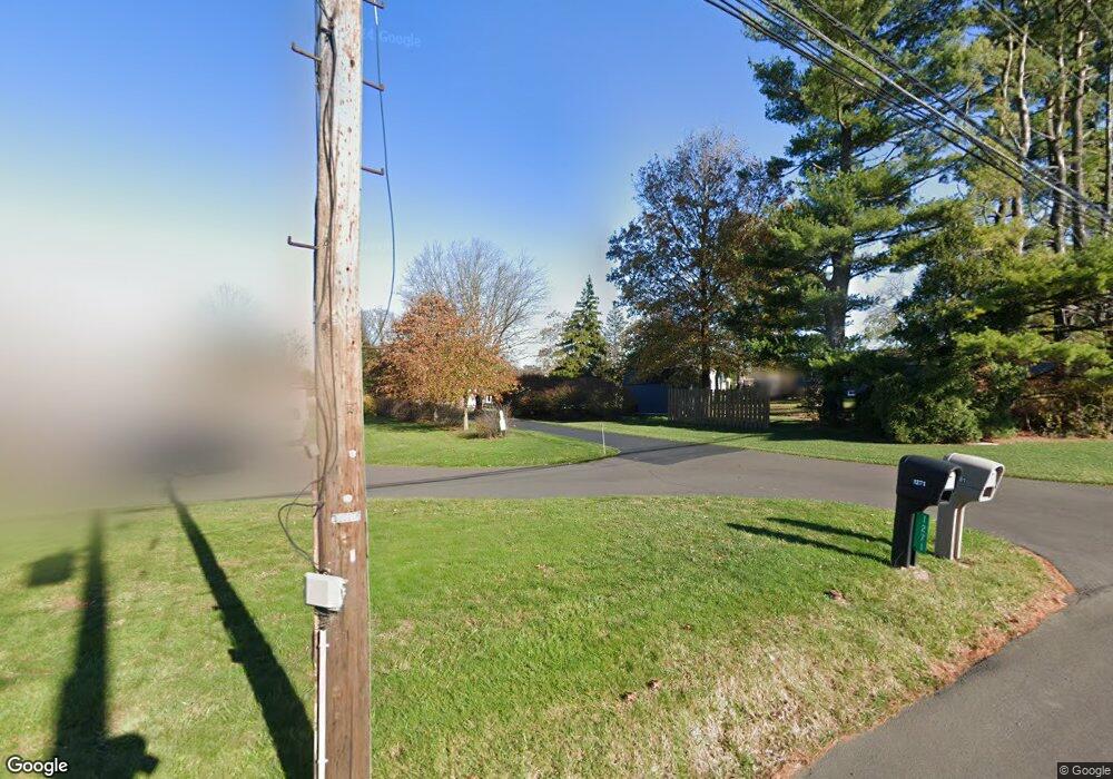
Map
Nearby Homes
- 1000 Old Jacksonville Rd
- 6 Breckenridge Dr
- 1390 Old Jacksonville Rd
- 1408 Old Jacksonville Rd
- 31 Aspen Dr
- 636 Almshouse Rd
- 934 Nathaniel Trail
- 223 Cecelia Acres Dr
- 2417 April Dr
- 8 Lacey Ln
- 9 Spring Mill Dr
- 11 Spring Mill Dr
- 18 Lacey Ln
- 10 Spring Mill Dr
- 3 Shady Pines Dr
- 146 Grandview Dr
- 23 Oxford Dr
- The Addis Plan at The Reserve at Spring Mill
- The Beckett Plan at The Reserve at Spring Mill
- 1017 Conway Ct
- 31 Macfarland Ave
- 1309 Almshouse Rd
- 23 Macfarland Ave
- 41 Macfarland Ave
- 9 Neshaminy Dr
- 1271 Almshouse Rd
- 15 Macfarland Ave
- 1305 Almshouse Rd
- 13 Neshaminy Dr
- 24 Macfarland Ave
- 3 Macfarland Ave
- 1317 Almshouse Rd
- 48 Macfarland Ave
- 18 Neshaminy Dr
- 8 Macfarland Ave
- 1328 Almshouse Rd
- 21 Neshaminy Dr
- 60 Macfarland Ave
- 16 Driscoll Dr
- 30 Neshaminy Dr