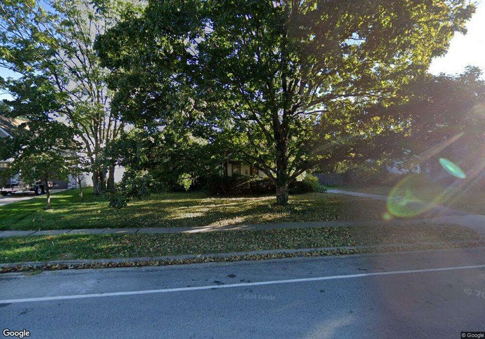
12611 W 55th St Shawnee, KS 66216
Estimated Value: $222,000 - $307,000
2
Beds
1
Bath
720
Sq Ft
$365/Sq Ft
Est. Value
About This Home
This home is located at 12611 W 55th St, Shawnee, KS 66216 and is currently estimated at $263,103, approximately $365 per square foot. 12611 W 55th St is a home located in Johnson County with nearby schools including Ray Marsh Elementary School, Trailridge Middle School, and Shawnee Mission Northwest High School.
Ownership History
Date
Name
Owned For
Owner Type
Purchase Details
Closed on
Jul 18, 2023
Sold by
Cassell Douglas E
Bought by
Cassell Douglas E and Cassell Chelsea C
Current Estimated Value
Purchase Details
Closed on
Oct 5, 2001
Sold by
Garrison Michael C and Garrison Barbara J
Bought by
Cassell Douglas E
Home Financials for this Owner
Home Financials are based on the most recent Mortgage that was taken out on this home.
Original Mortgage
$101,849
Interest Rate
6.85%
Create a Home Valuation Report for This Property
The Home Valuation Report is an in-depth analysis detailing your home's value as well as a comparison with similar homes in the area
Home Values in the Area
Average Home Value in this Area
Purchase History
| Date | Buyer | Sale Price | Title Company |
|---|---|---|---|
| Cassell Douglas E | -- | None Listed On Document | |
| Cassell Douglas E | -- | Stewart Title |
Source: Public Records
Mortgage History
| Date | Status | Borrower | Loan Amount |
|---|---|---|---|
| Previous Owner | Cassell Douglas E | $101,849 |
Source: Public Records
Tax History Compared to Growth
Tax History
| Year | Tax Paid | Tax Assessment Tax Assessment Total Assessment is a certain percentage of the fair market value that is determined by local assessors to be the total taxable value of land and additions on the property. | Land | Improvement |
|---|---|---|---|---|
| 2024 | $2,600 | $24,932 | $5,703 | $19,229 |
| 2023 | $2,780 | $26,002 | $5,703 | $20,299 |
| 2022 | $2,403 | $22,402 | $5,177 | $17,225 |
| 2021 | $2,155 | $18,699 | $4,697 | $14,002 |
| 2020 | $1,986 | $16,997 | $4,275 | $12,722 |
| 2019 | $1,907 | $16,296 | $3,565 | $12,731 |
| 2018 | $1,775 | $15,099 | $3,222 | $11,877 |
| 2017 | $1,729 | $14,478 | $3,222 | $11,256 |
| 2016 | $1,648 | $13,616 | $3,222 | $10,394 |
| 2015 | $1,520 | $13,167 | $3,222 | $9,945 |
| 2013 | -- | $12,719 | $3,222 | $9,497 |
Source: Public Records
Map
Nearby Homes
- 12508 W 56th St
- 5504 Monrovia St
- 5620 Monrovia St
- 5407 Halsey St
- 13130 W 52nd Terrace
- 13126 W 52nd Terrace
- 13134 W 52nd Terrace
- 12809 W 57th Terrace
- 5507 Noland Rd
- 5845 Caenen St
- 11815 W 53rd St
- 5807 Noland Rd
- 13305 W 51st St
- 5021 Bradshaw St
- 5013 Bradshaw St
- 5300 Summit Ct
- 14170 W 49th St
- 5919 Pflumm Rd
- 5530 Rene St
- 4908 Noland Rd
- 12603 W 55th St
- 12613 W 55th St
- 12600 W 55th St
- 12606 W 55th St
- 5511 Rosehill Rd
- 12514 W 55th St
- 5510 Long Ave
- 12610 W 55th St
- 12615 W 55th St
- 12512 W 55th St
- 5525 Rosehill Rd
- 5520 Westgate St
- 5440 Westgate St
- 12614 W 55th St
- 5524 Westgate St
- 5518 Long Ave
- 5449 Westgate St
- 5526 Long Ave
- 5429 Rosehill Rd
- 5432 Westgate St