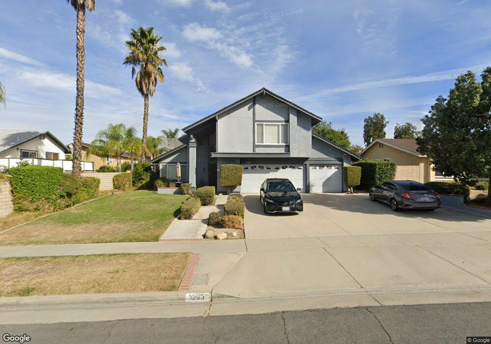
1263 Palos Verde Dr Corona, CA 92880
North Corona NeighborhoodEstimated Value: $845,076 - $911,000
4
Beds
4
Baths
2,290
Sq Ft
$383/Sq Ft
Est. Value
About This Home
This home is located at 1263 Palos Verde Dr, Corona, CA 92880 and is currently estimated at $877,269, approximately $383 per square foot. 1263 Palos Verde Dr is a home located in Riverside County with nearby schools including George Washington Elementary, Auburndale Intermediate, and Norco High School.
Ownership History
Date
Name
Owned For
Owner Type
Purchase Details
Closed on
Jun 14, 1999
Sold by
Garry Johns and Garry Robyn Johns
Bought by
Jones Samuel Andre
Current Estimated Value
Home Financials for this Owner
Home Financials are based on the most recent Mortgage that was taken out on this home.
Original Mortgage
$170,400
Interest Rate
7.64%
Mortgage Type
Balloon
Create a Home Valuation Report for This Property
The Home Valuation Report is an in-depth analysis detailing your home's value as well as a comparison with similar homes in the area
Home Values in the Area
Average Home Value in this Area
Purchase History
| Date | Buyer | Sale Price | Title Company |
|---|---|---|---|
| Jones Samuel Andre | $213,000 | Chicago Title Co |
Source: Public Records
Mortgage History
| Date | Status | Borrower | Loan Amount |
|---|---|---|---|
| Previous Owner | Jones Samuel Andre | $170,400 | |
| Closed | Jones Samuel Andre | $42,600 |
Source: Public Records
Tax History
| Year | Tax Paid | Tax Assessment Tax Assessment Total Assessment is a certain percentage of the fair market value that is determined by local assessors to be the total taxable value of land and additions on the property. | Land | Improvement |
|---|---|---|---|---|
| 2025 | $4,032 | $372,008 | $92,203 | $279,805 |
| 2023 | $4,032 | $357,565 | $88,624 | $268,941 |
| 2022 | $3,902 | $350,555 | $86,887 | $263,668 |
| 2021 | $3,824 | $343,683 | $85,184 | $258,499 |
| 2020 | $3,781 | $340,160 | $84,311 | $255,849 |
| 2019 | $3,693 | $333,491 | $82,658 | $250,833 |
| 2018 | $3,609 | $326,953 | $81,039 | $245,914 |
| 2017 | $3,520 | $320,543 | $79,450 | $241,093 |
| 2016 | $3,484 | $314,259 | $77,893 | $236,366 |
| 2015 | $3,407 | $309,540 | $76,724 | $232,816 |
| 2014 | $3,282 | $303,478 | $75,222 | $228,256 |
Source: Public Records
Map
Nearby Homes
- 915 Auburndale St
- 871 Kevin Cir
- 906 Brandywine Ln
- 974 Nottingham Dr
- 1118 Fallbrook Dr
- 1038 Savi Dr Unit 101
- 1527 Greenpoint Dr
- 1056 Lullaby Ln
- 893 Tangelo Way Unit 103
- 901 Primrose Ln
- 865 Honey Grove Way
- 1044 Meadowview Ct
- 868 Pathfinder Way
- 2625 Three Bar Ln
- 347 N Garfield Ave
- 1233 Dale Cir
- 625 Savi Dr Unit 102
- 2904 2nd St
- 1793 Myrtle St
- 1860 Rockcrest Dr
- 1255 Palos Verde Dr
- 905 Queensdale Ave
- 915 Queensdale Ave
- 1251 Palos Verde Dr
- 1258 Marina Rd
- 925 Queensdale Ave
- 1264 Palos Verde Dr
- 1252 Marina Rd
- 1258 Palos Verde Dr
- 1270 Palos Verde Dr
- 1245 Palos Verde Dr
- 1246 Marina Rd
- 882 Kevin Cir
- 904 Queensdale Ave
- 910 Queensdale Ave
- 881 Queensdale Cir
- 1248 Palos Verde Dr
- 1267 Marina Rd
- 920 Queensdale Ave
- 916 Candy Dr
Your Personal Tour Guide
Ask me questions while you tour the home.