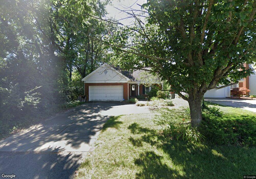
1267 Anderson Ferry Rd Cincinnati, OH 45238
Central Delhi NeighborhoodEstimated Value: $234,000 - $302,000
3
Beds
2
Baths
2,272
Sq Ft
$123/Sq Ft
Est. Value
About This Home
This home is located at 1267 Anderson Ferry Rd, Cincinnati, OH 45238 and is currently estimated at $279,931, approximately $123 per square foot. 1267 Anderson Ferry Rd is a home located in Hamilton County with nearby schools including C.O. Harrison Elementary School, Rapid Run Middle School, and Oak Hills High School.
Ownership History
Date
Name
Owned For
Owner Type
Purchase Details
Closed on
Aug 15, 1997
Sold by
Harding Thomas H and Harding Dana M
Bought by
Schmidt Penny R
Current Estimated Value
Home Financials for this Owner
Home Financials are based on the most recent Mortgage that was taken out on this home.
Original Mortgage
$119,562
Outstanding Balance
$17,968
Interest Rate
7.57%
Mortgage Type
FHA
Estimated Equity
$261,963
Create a Home Valuation Report for This Property
The Home Valuation Report is an in-depth analysis detailing your home's value as well as a comparison with similar homes in the area
Home Values in the Area
Average Home Value in this Area
Purchase History
| Date | Buyer | Sale Price | Title Company |
|---|---|---|---|
| Schmidt Penny R | $120,000 | -- |
Source: Public Records
Mortgage History
| Date | Status | Borrower | Loan Amount |
|---|---|---|---|
| Open | Schmidt Penny R | $119,562 |
Source: Public Records
Tax History Compared to Growth
Tax History
| Year | Tax Paid | Tax Assessment Tax Assessment Total Assessment is a certain percentage of the fair market value that is determined by local assessors to be the total taxable value of land and additions on the property. | Land | Improvement |
|---|---|---|---|---|
| 2024 | $4,870 | $84,126 | $10,255 | $73,871 |
| 2023 | $4,884 | $84,126 | $10,255 | $73,871 |
| 2022 | $4,039 | $61,870 | $9,135 | $52,735 |
| 2021 | $3,955 | $61,870 | $9,135 | $52,735 |
| 2020 | $4,012 | $61,870 | $9,135 | $52,735 |
| 2019 | $3,848 | $53,337 | $7,875 | $45,462 |
| 2018 | $3,851 | $53,337 | $7,875 | $45,462 |
| 2017 | $3,476 | $53,337 | $7,875 | $45,462 |
| 2016 | $3,439 | $52,865 | $8,313 | $44,552 |
| 2015 | $3,443 | $52,865 | $8,313 | $44,552 |
| 2014 | $3,447 | $52,865 | $8,313 | $44,552 |
| 2013 | $3,415 | $55,647 | $8,750 | $46,897 |
Source: Public Records
Map
Nearby Homes
- 1398 Colonial Dr
- 5435 Lariat Dr
- 5421 Cleander Dr
- 1139 Glenna Dr
- 5226 Locust St
- 1650 Colonial Dr
- 5165 Highview Dr
- 5140 Willnet Dr
- 5312 Panther Ct
- 951 Villa View Ct
- 1833 Leona Dr
- 5114 Cleves Warsaw Pike
- 5132 Ralph Ave
- 5318 Sidney Rd
- 5468 Rapid Run Rd
- 1020 Seibel Ln
- 5176 Dundas Dr
- 1418 Covedale Ave
- 4998 Western Hills Ave
- 885 Beechmeadow Ln
- 1271 Anderson Ferry Rd
- 1255 Anderson Ferry Rd
- 5315 Cleves Warsaw Pike
- 5319 Cleves Warsaw Pike
- 5311 Cleves Warsaw Pike
- 5321 Cleves Warsaw Pike
- 1268 Anderson Ferry Rd
- 1276 Anderson Ferry Rd
- 1260 Anderson Ferry Rd
- 25 Cleves Warsaw Pike Unit Lt 25
- 6294 Cleves Warsaw Pike Unit 6294
- 5291 Cleves Warsaw Pike
- 1244 Anderson Ferry Rd
- 1292 Cassandra Ct
- 5333 Cleves Warsaw Pike
- 1286 Cassandra Ct
- 1236 Anderson Ferry Rd
- 5287 Cleves Warsaw Pike
- 5288 Willnet Dr
- 1228 Anderson Ferry Rd