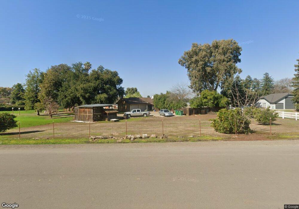
12682 Cumorah Dr Clovis, CA 93619
Estimated Value: $727,000 - $733,000
3
Beds
2
Baths
2,186
Sq Ft
$334/Sq Ft
Est. Value
About This Home
This home is located at 12682 Cumorah Dr, Clovis, CA 93619 and is currently estimated at $729,253, approximately $333 per square foot. 12682 Cumorah Dr is a home located in Fresno County with nearby schools including Fairmont Elementary School, Washington Academic Middle School, and Sanger High School.
Ownership History
Date
Name
Owned For
Owner Type
Purchase Details
Closed on
Oct 18, 1999
Sold by
Henry Merritt Richard and Henry Betty B
Bought by
Dobbs James C and Dobbs Suzanne E
Current Estimated Value
Home Financials for this Owner
Home Financials are based on the most recent Mortgage that was taken out on this home.
Original Mortgage
$152,000
Outstanding Balance
$46,000
Interest Rate
7.86%
Estimated Equity
$683,253
Create a Home Valuation Report for This Property
The Home Valuation Report is an in-depth analysis detailing your home's value as well as a comparison with similar homes in the area
Purchase History
| Date | Buyer | Sale Price | Title Company |
|---|---|---|---|
| Dobbs James C | $160,000 | Commonwealth Land Title Ins |
Source: Public Records
Mortgage History
| Date | Status | Borrower | Loan Amount |
|---|---|---|---|
| Open | Dobbs James C | $152,000 |
Source: Public Records
Tax History
| Year | Tax Paid | Tax Assessment Tax Assessment Total Assessment is a certain percentage of the fair market value that is determined by local assessors to be the total taxable value of land and additions on the property. | Land | Improvement |
|---|---|---|---|---|
| 2025 | $3,316 | $245,891 | $107,577 | $138,314 |
| 2023 | $3,117 | $236,344 | $103,400 | $132,944 |
| 2022 | $3,073 | $231,711 | $101,373 | $130,338 |
| 2021 | $3,050 | $227,169 | $99,386 | $127,783 |
| 2020 | $2,966 | $224,840 | $98,367 | $126,473 |
| 2019 | $2,911 | $220,433 | $96,439 | $123,994 |
| 2018 | $2,797 | $216,112 | $94,549 | $121,563 |
| 2017 | $2,753 | $211,876 | $92,696 | $119,180 |
| 2016 | $2,599 | $207,723 | $90,879 | $116,844 |
| 2015 | $2,619 | $204,603 | $89,514 | $115,089 |
| 2014 | $2,586 | $200,596 | $87,761 | $112,835 |
Source: Public Records
Map
Nearby Homes
- 12000 E Shaw Ave
- 13545 E Bullard Ave
- 6345 N Bethel Ave
- 12789 E Herndon Ave
- 6090 Amber Ave
- 11078 Sawtooth Peak Way
- 4674 N Arrow Ridge Way
- 4626 N Arrow Ridge Way
- 4769 N Emerald Peak Dr
- 4793 N Emerald Peak Dr
- 12740 E Robinson Ave
- 5496 S Newmark
- 3520 N Bethel Ave
- 10952 E Promontory Way
- 10595 E San Felipe Ave
- 10588 E Fieldstone Ave
- 4249 N Waterside Dr
- 4199 N Quail Crossing
- 11236 E Herndon Ave
- 4133 N Morro Bay
- 12638 Cumorah Dr
- 12775 Crestwood Dr
- 12589 Morningside Ave
- 5276 Poinsetta Ave
- 5445 Poinsettia Ave
- 5445 Poinsetta Ave
- 12677 Cumorah Dr
- 5352 Poinsetta Ave
- 12637 Cumorah Dr
- 12542 Cumorah Dr
- 12590 Morningside Ave
- 12695 Cumorah Dr
- 12539 Morningside Ave
- 5444 Poinsetta Ave
- 12545 Cumorah Dr
- 12657 Heather Ln
- 12540 Morningside Ave
- 5478 Poinsetta Ave
- 5220 Greenwood Ave
- 12522 Cumorah Dr
Your Personal Tour Guide
Ask me questions while you tour the home.